
Dodges Ferry, Tasmania
Dodges Ferry is a small township on the eastern side of the entrance to Pittwater in south eastern Tasmania. Dodges Ferry was named after Ralph Dodge (1791-1871) who operated a ferry service across Pittwater from the 1820s. It is now a popular tourist locale.
Where Is it? Dodges Ferry is 40 km east of Hobart, 13 km south of Sorell.
Like many of the settlements on Frederick Henry Bay, Dodges Ferry has long been a popular holiday resort for Tasmanians, especially for families. With sandy beaches and rocky headlands close at hand, it lies at the entrance to the Pittwater estuary and has a reputation for safe swimming, fishing and boating. Until the 1960s, Dodges Ferry comprised mainly of beach shacks, but an influx of Hobart commuters has seen a change to more modern, larger homes and facilities.
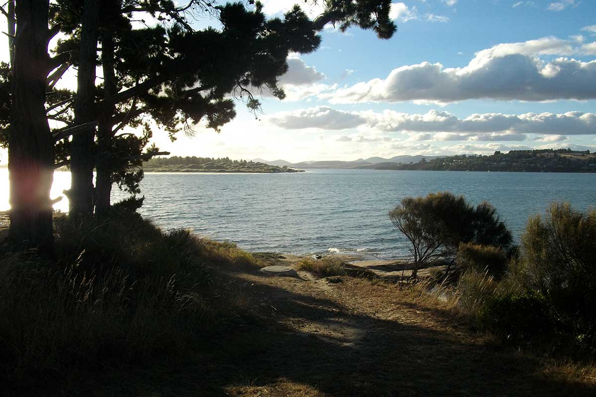
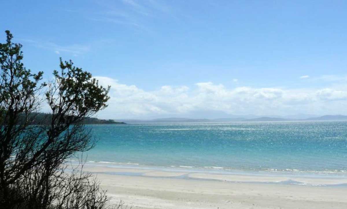
Tiger Head Beach
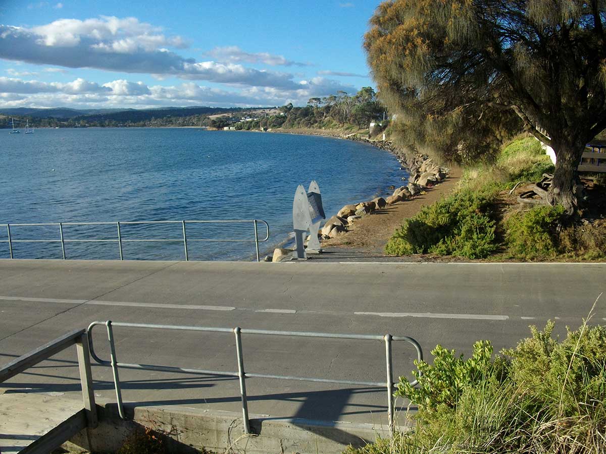
Tiger Head Beach is the main beach at Dodges Ferry. The beach is low and narrow, usually calm, and backed by numerous boat sheds, together with a boat ramp, two jetties and several boats usually moored off the beach.
Red Ochre Beach is a protected west-facing beach located on the north side of Spectacle Head and is divided into two sections by a 50 metre long central outcrop of low rocks and boulders. The northern half consists of a wider sandy high tide beach and low hummocky foredune, with a narrow shallow bar and the Blue Lagoon Reserve backing the southern end.
Carlton Beach
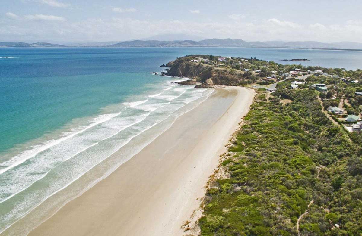
Carlton Beach is a popular summer surfing beach to the east of Dodges Ferry. The Carlton Beach Road runs off the Carlton Road and provides good access to the beach. The beach is 2.7 km long and faces south-southwest towards the entrance to Frederick Henry Bay 15 km to the south. The Carlton River mouth, its deep inlet and neighbouring Carlton Bluff form the eastern boundary with 20 m high Spectacle Head to the west. While the beach is set deep within Frederick Henry Bay, owing to its southerly orientation it receives most southerly swell entering the bay, with waves averaging about 1 m and occasionally higher.
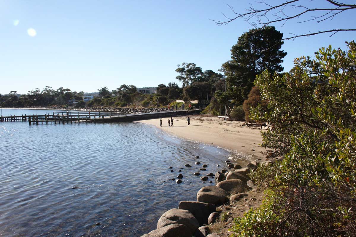
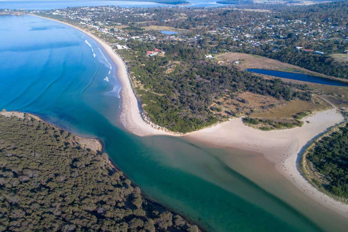
Okines Beach is located immediately north of Dodges Ferry and runs north for 1 km forming the eastern shore of the inner entrance to Pittwater. The beach is sheltered by the entrance tidal shoals and its estuarine location with usually calm conditions at the shore.
Tiger Head Bay
Tiger Head Bay is an open bay on Frederick Henry Bay in the lee of Tiger Head, with an 800 metre long, northwest facing beach (T 395) running from the head to low rocks at Dodges Ferry. The beach is low and narrow, usually calm, and backed by numerous boat sheds, together with a boat ramp, two jetties and several boats usually moored off the beach. Tiger Head is close to the Pitt Water entrance channel, and strong tidal currents flowing past the flats. Seven Mile Beach is on Tiger Head Bay.
Frederick Henry Bay
Frederick Henry Bay
Situated between South Arm and the iconic Tasman Peninsula in Tasmania's south, Frederick Henry Bay is a natural aquatic playground for boaters, sailors, kayakers, divers and fishermen. The bay is placed 3rd in terms of Tasmanian boating popularity - equal to the inland fishing havens of Great and Arthurs Lake. The idyllic sea-side village of Cremorne, located 25 km from Hobart between Pipe Clay Lagoon and Frederick Henry Bay, is home to the only boat ramp access on the western shore of the bay.
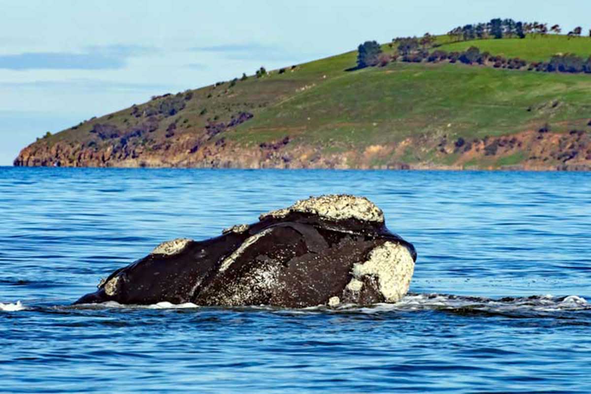
A Southern Right whale in Frederick Henry Bay
Frederick Henry Bay is perhaps the best spot in Tasmania to see whales from land. Southern right wales and humpback whales travel past the bay on their way to their breeding areas in other parts of Australia, but some do stick around to give birth in Tassie, giving people the chance to see them from the shore. The best time to see whales is May to July.
Of the localities associated with the discovery of Tasmania, much interest surrounds Frederick Henry Bay, and its neighbourhood, which lay to the east of the city of Hobart. The bay's name has in fact been dislocated from its rightful position on the map to another part of the coast, where it is now permanently fixed. Dutch navigator Abel Tasman coined the name Frederick Hendrick Bay in December 1644 when he sailed the south coast of Tasmania, but in fact he never saw the bay that is now known by that name.
The bay he named in honour of the Dutch Prince Frederick Hendrick (1584-1647), Prince of Orange, was in the immediate vicinity of his anchorage on the north-east coast of Forestier Peninsula. The records of Tasman's voyage leave its exact location in doubt. The journal contains no names of places, and the account of where the flag planting took place indicates what he referred to as Frederick Henry Bay may have been what we call Marion Bay, but the charts indicate it was the inner port of Marion Bay, now called Blackmans Bay.
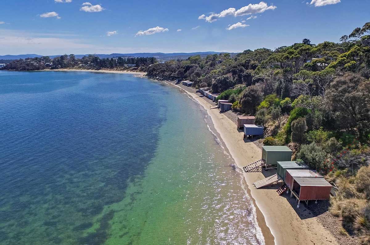
Red Ochre Beach
A colleague of James Cook, the British explorer Tobias Furneaux, appears to have been the person who gave the name of Frederick Henry Bay to the wrong bay. In 1773 when he visited the area, Furneaux mistook what he named - and what is still known today as - Frederick Henry Bay for the place where Tasman had landed. As Furneaux's charts were used to prepare the Admiralty charts in use, the name still applies to the wrong bay.
The number of French names given to geographical features around the bay are evidence of the visits of three French expeditions to the area at a time when France was looking seriously at establishing a colonial outpost in Van Diemen's Land. The first was in 1792 when a well-equipped French expedition arrived under the command of Antoine Raymond Joseph de Bruni D'Entrecasteaux aboard the Recherche and L'Esperance. Amongst the complement were scientists, botanists, a gardener and hydrographers. They took many natural science specimens, charted great skill and named many features. While they were to continue to give generally adverse accounts of New Holland, their descriptions of the land and people of Tasmania provided some relief to the predominantly negative reports of previous explorers. D'Entrecasteaux observed that the tribe they encountered "seems to offer the most perfect image of pristine society, in which men have not yet been stirred by passions, or corrupted by the vices caused by civilization".
With the approval of Napoleon Bonaparte, then the French First Consul, another two-ship expedition left France in 1800 led by Thomas Nicolas Baudin. The two ships employed were Le Geographe under Baudin and Le Naturaliste under J.F. Emmanuel Hamelin. Baudin and his team visited Frederick Henry Bay and one junior officer in particular, Louis Claude De Saules de Freycinet, came away convinced that Van Diemen's Land (Tasmania) and the Frederick Henry Bay area in particular, had great potential as a future French colony. De Freycinet was to return later and embark on further exploration of the Australia coast in L'Uranie in 1818-20. His was the last French expedition given the primary tasks of exploring the Australian coast.
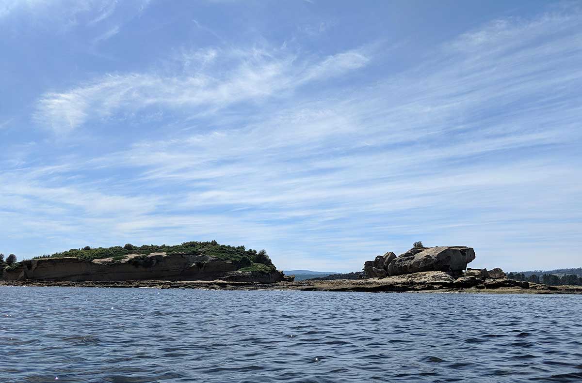
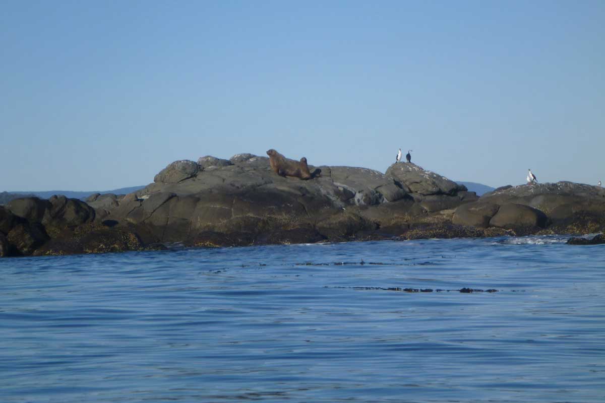
Spectacle Island
Spectacle Island, accessed by boat from Seven Mile Beach, Dodges Ferry, Carlton Beach, Lewisham, is a Public Reserve (part of Carlton Beach Coastal Reserve). Because of its proximity to mainland Tasmania and easy access, boating and fishing activity regularly occurs in the area during the summer months. Day visits to the island are popular. A sandstone ledge provides good snorkelling and diving opportunities.
The island harbours little penguins, short-tailed shearwaters and pied oystercatchers. Kelp gulls, Pacific gulls, silver gulls, Caspian terns and sooty oystercatchers also breed here. Rhagodia candolleana is the dominant vegetation with scattered Poa and Allocasuarina species. Small butterflies are common to the island, feeding on a variety of flowering plants.
Little Spectacle Island
This small island supports a relatively diverse, abundant seabird population including little penguins, silver gulls, kelp gulls, crested terns and pied oystercatchers. Rhagodia candolleana is the dominant vegetation species. This island is significant as it provides an alternative crested tern breeding site in the region. Crested terns specifically require islands without trees, already occupied by colonies of silver gulls. Recreational activity is common in this area during the summer months. Motor boat activity, sea kayaking and yachting are the major boating past-times, and the beach is a popular destination for daytrippers. Access: Seven Mile Beach, Dodges Ferry, Carlton Beach, Lewisham.
Slopen (aka Sloping) Island
This island, in Frederick Henry Bay on the western side of the Lime Bay State Reserve headland, has particularly significant Aboriginal values and is one of the few islands in the region to have played a significant role in Tasmania’s whaling, convict and agricultural history. It has ten known Aboriginal sites comprising shell middens and artefact scatters.
In 1824 the first whaling station in the water approaches to Hobart were established at Slopen Island by Walter Angus Bethune and John Grant. In 1832, George Meredith applied to rent the island from the government for grazing livestock. Meredith was also a well-known whaling personality and he may have also carried on whaling from Sloping Island, although his application does not mention it. The island was established in 1841 as a Probation Station to house convicts arriving in Van Diemens Land. The convicts were involved in timber getting and land clearing. The station was forced to close only three years later, due to the lack of availability of fresh water. The convicts were assigned to Port Arthur. In the 1850s the island was leased again for grazing purposes to James Smith (Evans 1993). The lease continued until 1973, when renewal was refused on the grounds that the island was infected with the noxious weed, serrated tussock (Nassella trichotoma).
The island supports breeding populations of little penguins, short-tailed shearwaters, Pacific gulls, sooty oystercatchers and pied oystercatchers. There are also kelp gulls and swamp harriers. Ringtail possums and rabbits also inhabit the island. The vegetation of the island consists of eucalyptus woodland, sheoak open forest, open and closed heaths dominated by Banksia marginata, sagg-dominated herblands, Poa poiformis tussock grasslands, disturbance-induced bracken fields and succulent herbfields dominated by Tetragonia implexicoma and Carpobrotus rossii.
The island has been modified during many years of agricultural use and has not yet recovered. Rabbits have caused severe denudation of the vegetation, which has led to erosion and burrow collapse in shearwater colonies. Some control was attempted in the early 1980s but was unsuccessful. The nationally significant noxious weed, serrated tussock (N. trichotoma), occurs on the island, having been transported with infected pea crops in the 1950s and 1960s when the island was actively farmed. Concerted attempts over many years have been made to control it.
In 1911, readers made submissions to the local newspaper The Mercury regarding the naming of the island. Their conclusion was: "It is called Sloping Island on the Admiralty maps, and was called St. Aignon, after one of his officers by D'Entrecasteaux, on his map. Since then it has been variously called Sloping, Slopen, Sterring, and St. Aignon."
Although the island is regularly visited by sea kayakers, overnight camping is rare. Recreational diving and fishing occur around the island. Recreational gill netting is common in the area. Visits from the yachting and motor boat communities are frequent during the summer. There is a protected cove with good all-weather access, which provides a safe anchorage for boats.