

Devonport, Tasmania
Devonport, at the mouth of the Mersey River, is one of three major cities in Tasmania's north, the others being Launceston and Burnie. To visitors to Tasmania, it is primarily known as the port for the Spirit of Tasmania car and passenger ferries which make daily 10-hour trips between their terminals at East Devonport and Station Pier, Melbourne.


The main CBD is on the west side of the Mersey River and includes a pedestrian mall, cinema, speciality stores, chain stores such as IGA and hotels. There are several local restaurants and cafes.
Local theatre and Conventions are held at the Devonport Entertainment and Convention Centre in the city's CBD.
The Devonport Regional Gallery evolved from the inception of The Little Gallery, which was founded by Jean Thomas as a private enterprise in 1966. The Gallery presents an annual program of exhibitions, education and public programs including events and workshops. A broad range of selected local artisan works are displayed at the North West Regional Craft Centre and gift store in the CBD.
There are walking tracks along the coast from which to enjoy nature, or to take an early morning walk and watch the Spirit of Tasmsnia come in from Melbourre. To the west of Mersy Bluff is Don Heads. Tiagarra, the Tasmanian Aboriginal Cultural and Arts Centre, has dioramas showing the lifestyle of the Tasmanian Aborigines from the region, and is close to some Aboriginal rock carvings.
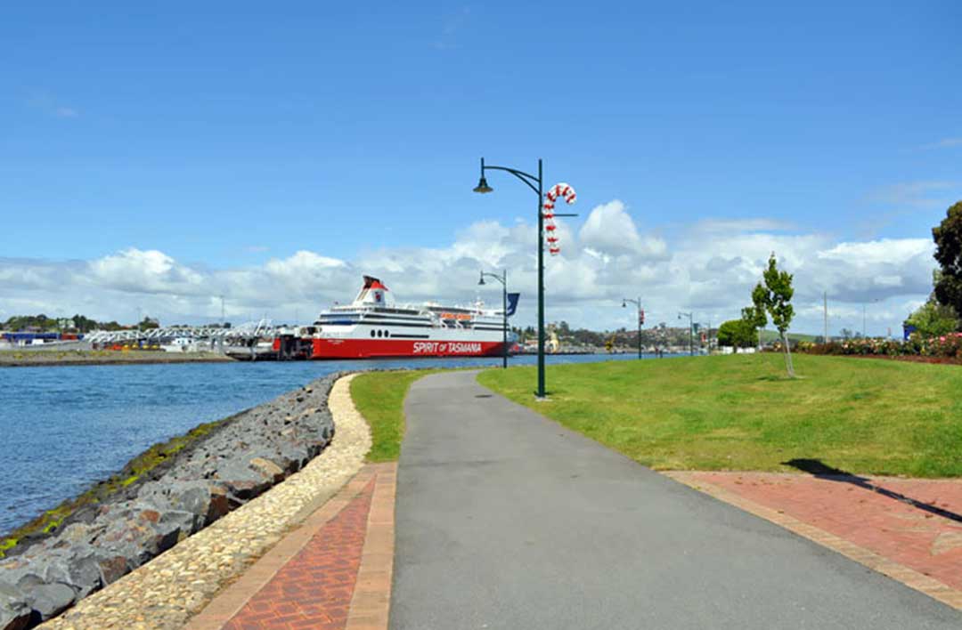
Don to Devonport Cycleway
The Don to Devonport Cycleway is a 7.5km, grade 2 One Way hike located in Northern Tasmania Tasmania. The hike should take approximately 2hrs to complete. See some of the nicest parts of Devonport by walking or cycling the rail trail. Parts of the trail run parallel with the railway to Burnie and the Don River tourist railway. Part also follows the route of a former tramway. You can follow the trail from the Don Railway Station to central Devonport, with the option of a loop trail along the opposite bank of the Don River.
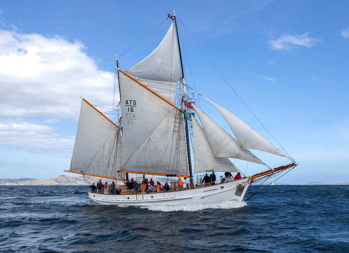
The Julie Burgess
The Julie Burgess is the last of the beautiful Burgess Family fishing ketches that plied the waters of Bass Strait and its islands. The ketch was purpose built to harvest the rich crayfish fields of Bass Strait and Tasmania. The central well in the ketch made it possible to hold enormous amounts of live crays that were taken to the railway station at Stony Point in Westernport Bay for transportation to the Melbourne markets – still fresh!Volunteers lovingly restored the ketch, so that you can relive the classic days of sailing in Bass Strait. The Julie Burgess can be viewed at her mooring at Reg Hope Park, East Devonport, or seen from Mersey Bluff as she sails the waters off Devonport.

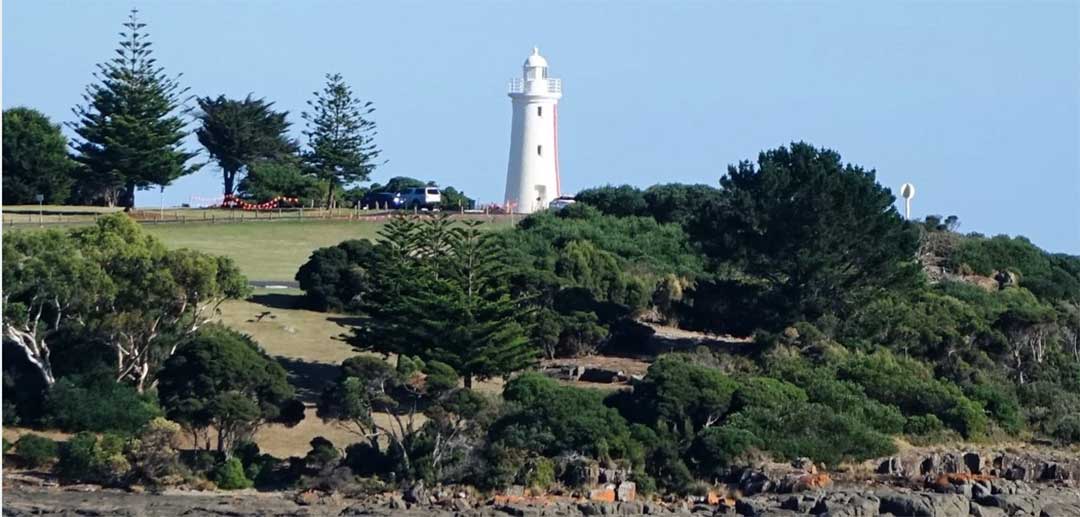
Mersey Bluff
Mersey Bluff is an interesting coastal area featuring cliffs, seascapes, parkland and Aboriginal rock art. Mersey Bluff is composed of Jurassic dolerite (approximately 180 million years old). In places exposed surfaces display unusual markings that were once believed to have been carved by Aboriginal people. However these are now considered to be a result of weathering and root action.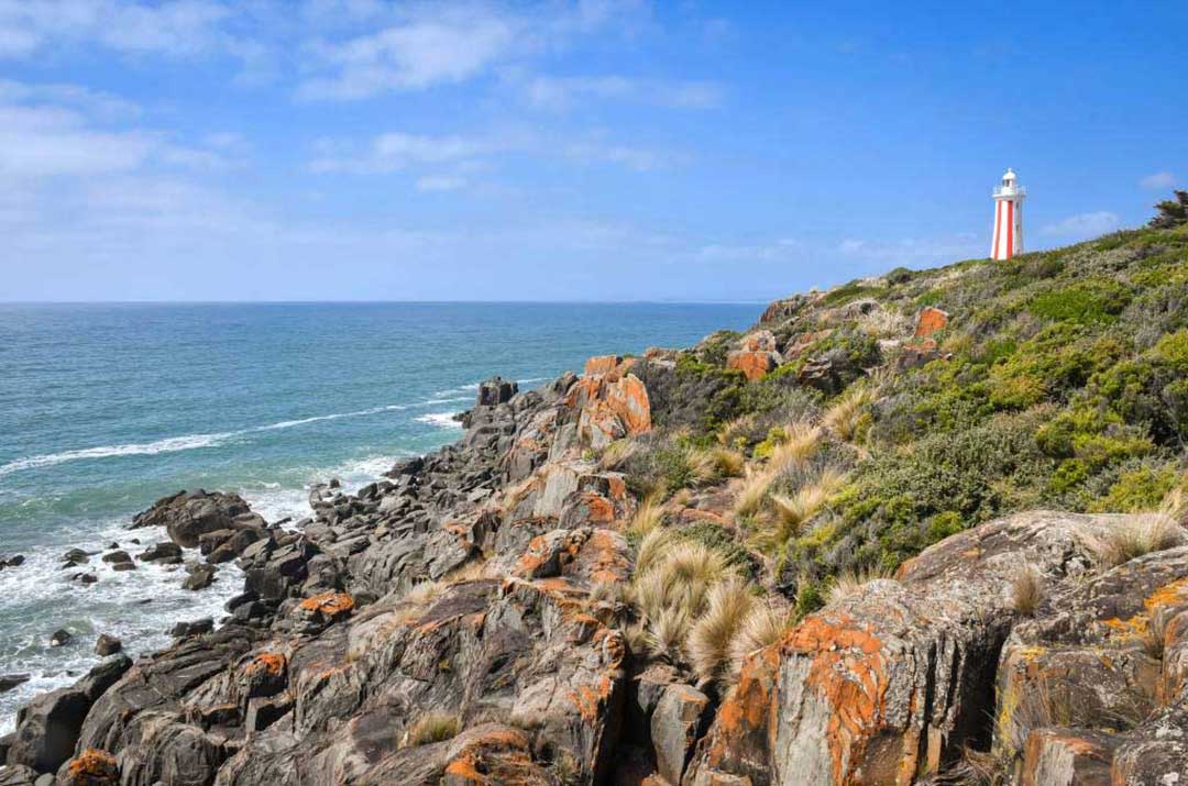
The Mersey Bluff Lighthouse standing at the mouth of the Mersey River near Devonport is unusual in Australia with its distinctive vertical red striped day mark. Established in 1889 and is built of bricks on a stone base, it replaced a succession of beacons and obelisks that had formerly stood on the site. It also replaced the earlier Don River light. The establishment of the lighthouse ended a history of wrecks in this area.
A kiosk and caravan park is located near the entrance to the Mersey Bluff precinct, as is a children’s playground. Other nearby facilities include public toilets and change rooms, sealed walking and cycling track, electric barbecues, picnic shelters, car parks, skateboard facility and sports ground.

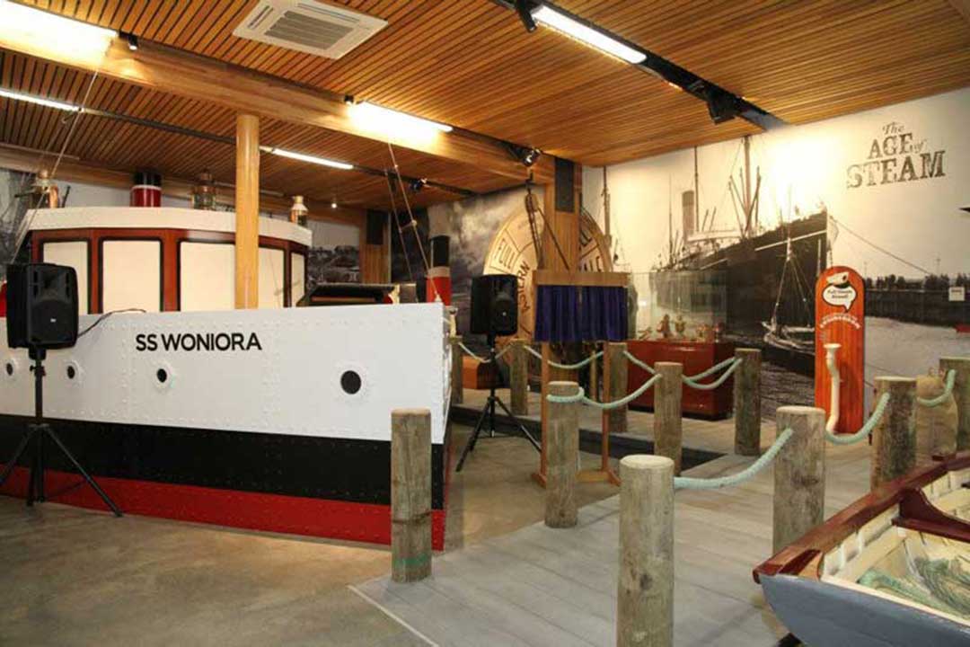
Bass Strait Maritime Centre
Devonport's maritime history is celebrated at the Bass Strait Maritime Centre, which features a large collection of model ships. Devonport's seafaring connection continues today through the Spirit of Tasmania, the only passenger ferry operating across Bass Strait.Location: 6 Gloucester Ave, Devonport. Ph (03) 6424 7100.
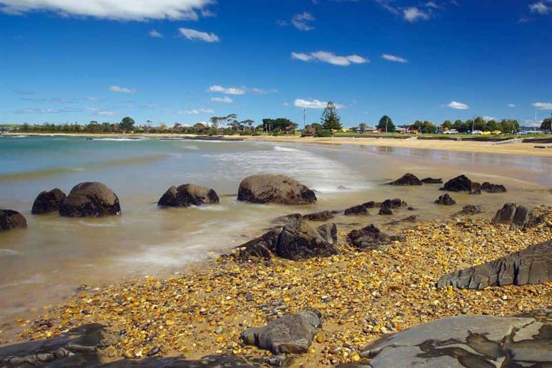
Beaches
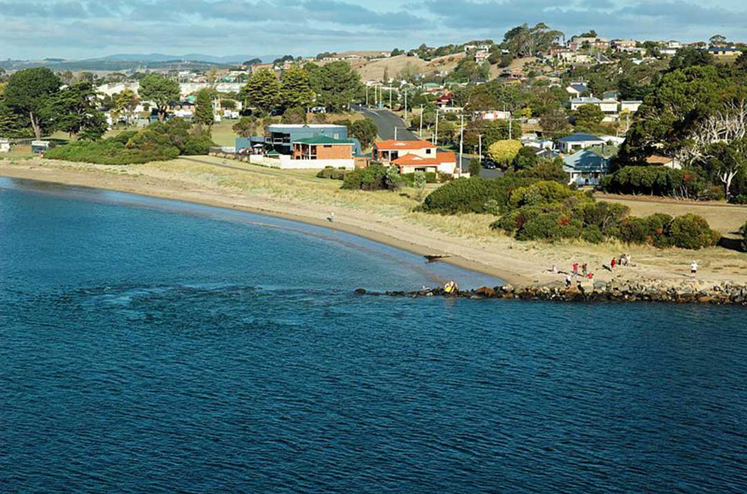
Flour Mill Bay, East Devonport
Flour Mill Bay, East Devonport
Accessed via Melrose Street, this beach proves popular for the residents of East Devonport. Nearby facilities include public toilets, sealed walking and cycling track, electric barbeques, picnic shelter, car park and caravan park. A dog exercise area is provided on the section of East Devonport Beach from Wright Street, up to and including Pardoe Beach. Access to the dog exercise area is via Wright Street, Tarleton Street, North Caroline Street or Tea Tree Lane.
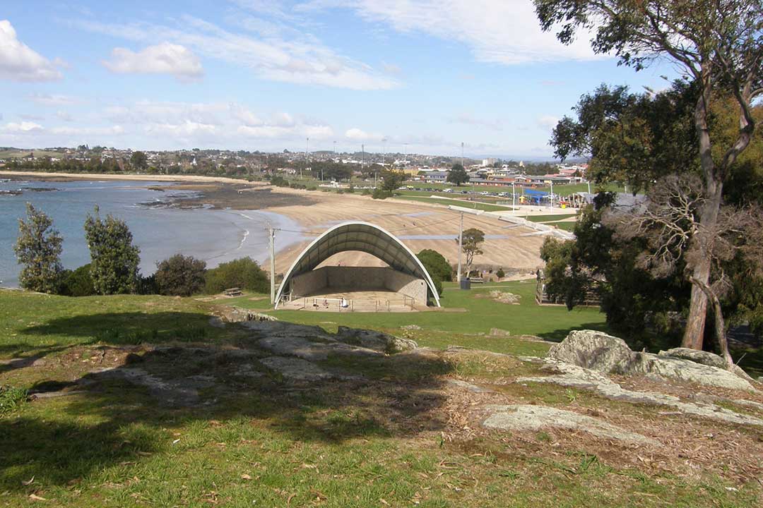
Bluff Beach, Devonport
Accessed via Bluff Road, the Mersey Bluff Beach is the only beach in Devonport patrolled by volunteer surf lifesavers (summer months only). Located in the iconic Mersey Bluff Precinct, this beach is a popular spot for residents and holiday makers. A kiosk is located nearby, as is a children’s playground. Other nearby facilities include public toilets and change rooms, sealed walking and cycling track, electric barbecues, picnic shelters, car parks, skateboard facility and sports ground.
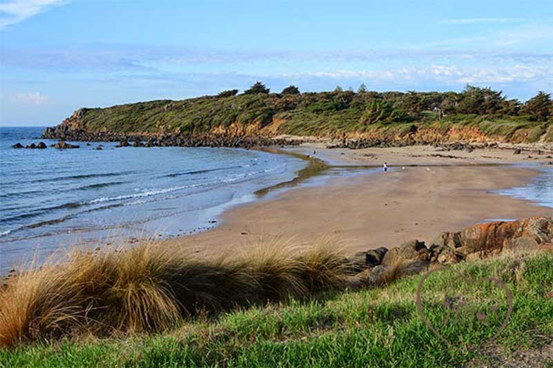
Back Beach, Devonport
Accessed via Coles Beach Road, located to the west of Bluff Beach. Nearby facilities include cycle and sealed walking pathways, rubbish bin, car park and foreshore reserve area. Back Beach is also a designated dog exercise area.
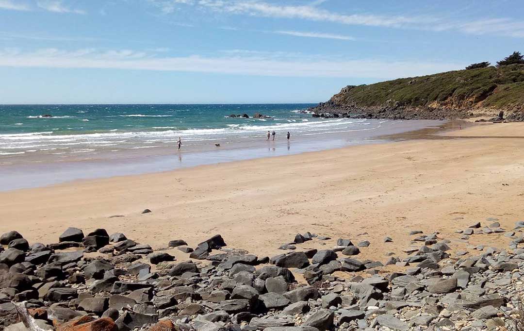
Coles Beach, Devonport
Coles Beach is on the eastern side of the Don River adjacent to Don Heads. Accessed via Coles Beach Road, Coles Beach is another very popular spot for beachgoers. Nearby facilities include public toilets, sealed walking and cycling track, electric barbecue, picnic shelters, car park and an outdoor shower. Coles Beach is located in a semi-circular north-facing bay, bordered by a low cobble point to the west and 20 m high bluffs to the east.The Coles Beach Road and the railway line to Burnie run parallel to the back of the beach. There is a large reserve and car park toward the western end and a second car park at the eastern end. The beach is moderately well exposed to west through northerly waves and is a popular surfing beach. At high tide it consists of a steep, narrow sand and cobble beach, while at low tide a 100 m wide, continuous bar is exposed, with rock flats, including some large boulders to either end. During higher waves rips form in the lower surf zone. Coles Beach's rocky shoreline make it an ideal place to go beachcombing for shells and small sea creatures.


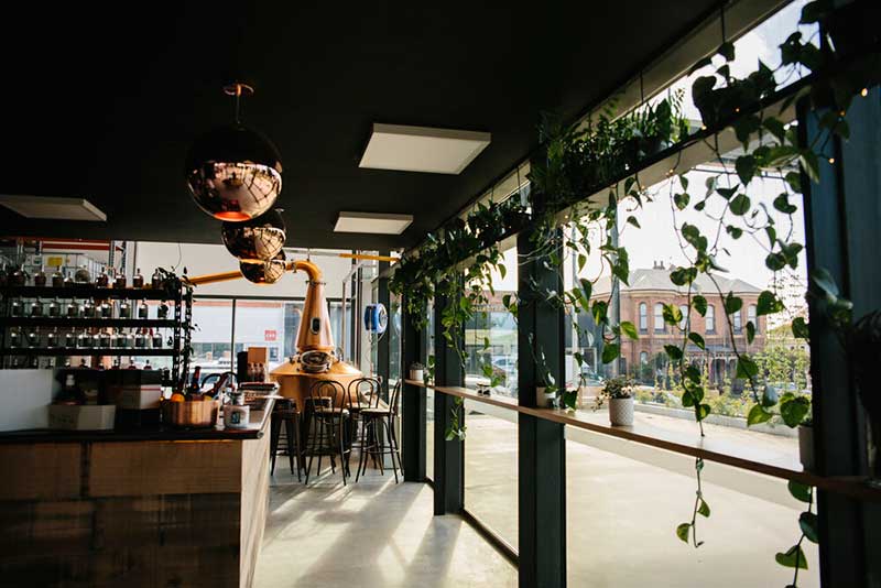
SOUTHERN WILD DISTILLERY
Makers of the multi-award winning Dasher + Fisher Gin range. Taste the Tasmanian Mountains, Meadows and Ocean at the distillery and tasting room. Local beer choices for visitors who don’t drink gin.
13 Oldaker Street, Devonport, 7310
Ph: (03) 6423 5981
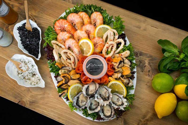
PETUNA SEAFOOD & GOURMET PANTRY
Fresh seafood, smoked salmon, gourmet foods, Tasmanian produce, wine, beers and spirits. Great coffee and take home meals.
134 Tarleton Street (PO Box 146), East Devonport 7310
Ph: (03) 6421 9125

Spreyton

SPREYTON CIDER CO.
Set in working orchards, offers tastings and sales of our alcoholic Ciders, Ginger Beer and non-alcoholic range. Open daily. Cnr Shef eld & Melrose Rd, Spreyton 7310
Ph: (03) 6427 2125
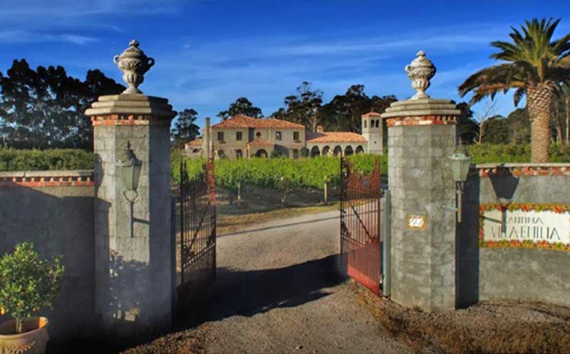
LA VILLA WINES
Vineyard and cellar-door, our vines are hand picked and pruned to produce the nest cool climate wines. Wed - Sun, tastings and sales.
347 Mersey Main Road, Spreyton, TAS, 7310
Ph: 0418 642 722
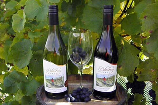
BLUSTERY BANKS VINEYARD
Wine tasting incorporating Squibbs Orchard Shop selling apples, pears and Tasmanian fresh and gourmet products.
26 Sheffeld Road, Spreyton TAS 7310
Ph: (03) 6427 3199

LEAPING GOAT COFFEE CO
Speciality coffee roasters, located just near Devonport. Tour the facilities, and/ or enjoy a coffee at the Coffee Bar.
2 Ferguson Drive, Quoiba/Spreyton 7310
Ph: 0448 560 625

Eugenana
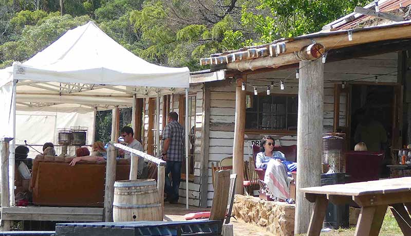
PRICKLY MO
A unique cellar-door and vineyard open Thurs-Sun for tastings, sales & platters. See Facebook for Friday live music sessions.
62 Lakeside Road, Eugenana, TAS 7310
Ph: 0430 315 705

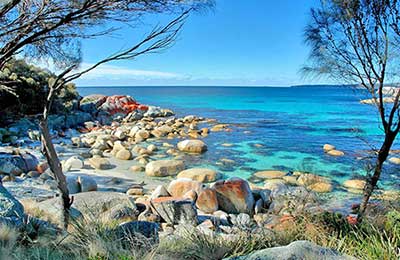
Port Sorell/Hawley Beach
21.4 km east via Port SorellPort Sorell is a pretty coastal town featuring sheltered beaches, good fishing, orange lichen-covered rocks and foreshore reserves for camping and picnics. Nearby is Narawntapu National Park.
Latrobe
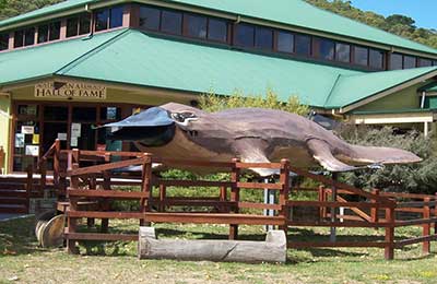
11 km south east via Bass HighwayAn historic farming centre on the Mersey River that was once an inland port serviced by ferries from Devonport. The town is just off the highway on the way to Launceston after leaving Devonport.
Ulverstone
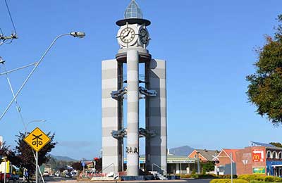
18.7 km west via Bass HighwayUlverstone is a substantial regional centre in a centralised location between the north-west coast's two cities, Burnie and Devonport. Ulverstone is 21 km west of Devonport and 28 km east of Burnie, 117 km from Launceston.

Don
4 km west via Don RoadMany of today's travellers through the small township of Don would find it difficult to believe that it was once a thriving pioneer settlement with a history that predates its neighbour, Devonport. Don is situated on the Don River.
Spreyton
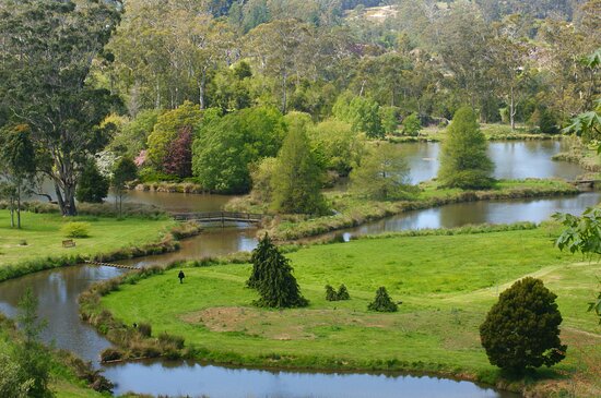
Spreyton, located 5 km south of the City of devonport, is a small town that is today considered to be a suburb of Devonport. Spreyton is home to the fourth-generation family-run business Spreyton Fresh. Spreyton Fresh have had apple orchards in Spreyton since 1908 and in 1997 due to the downturn in juice apple prices have been producing a premium fresh apple juice.Spreyton is named afer a small rural village just north of Dartmoor in Devon, England, famous for its connection to the tale of “Old Uncle Tom Cobley and all” who came from, and is thought to be buried in Spreyton. Spreyton's name and its connection with Devon, England, influenced the naming of Devon County, the early colonial name for the region between Devonport and Burnie. Devonport's name originates from it being the main port for Devon County.
Turners Beach/Forth
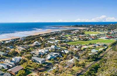
13 km west via Bass HighwayTurners Beach and Leith are two localities on the shores of Bass Strait that are blessed with superb beaches, serene pieces of beach paradise that are untouched by the masses.
Beyond Devonport
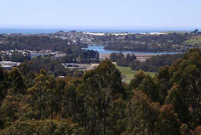
Kelcey Tier Nature Walk
160 hectares of native bushland which abounds with many varieties of birds, skinks and wildflowers. Discover the sculpture 'Preeatenna', which means 'lizard' in the Tasmanian Aboriginal language, reinforcing the important Aboriginal cultural links to the area. Read the message on the Peace Pole, and take in the views of Devonport and the Mersey River Estuary. The circuit walk is 3.6km and takes 1.5 - 2hrs. Maps are available from the Devonport Visitor Centre.
Location: top end of Durkins Rd, off Stony Rise Rd, Devonport.

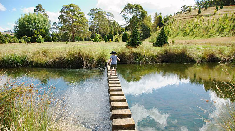
Tasmanian Arboretum
Wander through a peaceful landscape among trees from ancient times in this unique 66 glorious acres of botanical Tree Park. Follow our walks and nature trails or sit quietly and watch the waterbirds and platypus. Entry by donation. 9am to sunset. 03 6427 2690. Location: Old Tramway Road, Eugenana, 10km south of Devonport.

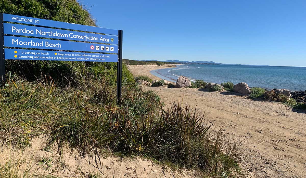
Moorland Beach
Moorland Beach, Wesley Vale
14 km east of Devonport via Bass Highway, Port Sorell Road and Pardoe RoadMoorland Beach extends east-northeast for 2.1 km between Pardoe and the low Moorland Point. There is a slight protrusion in the beach caused by wave refraction and attenuation to the lee of Wright and Egg islands, located 1-1.5 km offshore. The beach has a near continuous 150 m wide low tide bar, with low tide rips forming during higher waves, while closer to Moorland Point intertidal rocks and reefs are located in the intertidal zone.

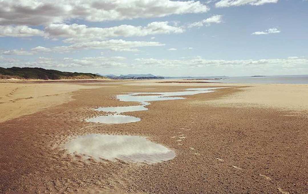
Pardoe Beach
Pardoe Beach, Wesley Vale
14.6 km east of Devonport via Bass Highway, Port Sorell Road and Pardoe RoadPardoe Beach commences against the end of the cobble beaches that surround Pardoe Downs, with a car park marking the boundary. It trends to the east-northeast for 3 km to the cobble, reef-tipped Pardoe Point. It receives the full force of the westerly wind waves, which average over 1 metre and maintain rips in the low tide surf during periods of higher waves. The beach is backed by a 150 m wide series of hummocky foredune ridges, with a waste treatment plant in the east and the western end of Devonport Airport to the west, and farmland extending inland.

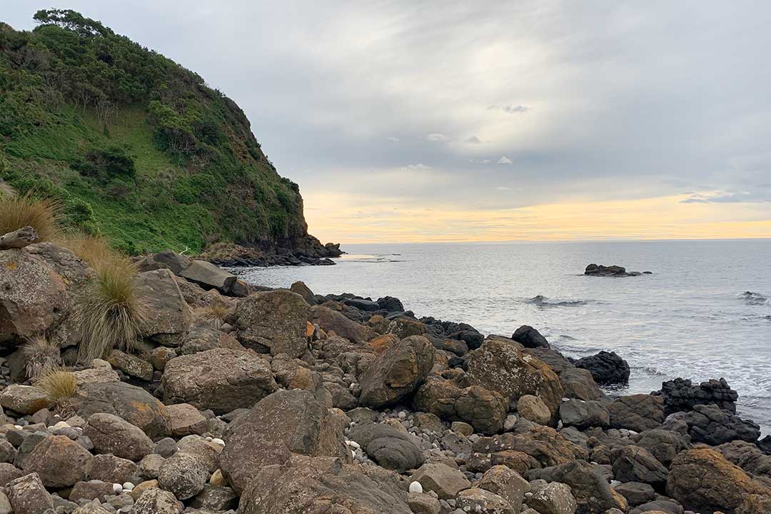
Don Heads, Don
Don Heads, Don
7 km east of Devonport via Don and Waverley RoadsDon Heads, on the western side of the mouth of the Don River, is a rocky headland peppered with columnar basalt rocks along its shore. A walking trail leads to the top of the bluff and along the coast to a number of beaches, and eventuslly Lillico Beach Conservation Area.
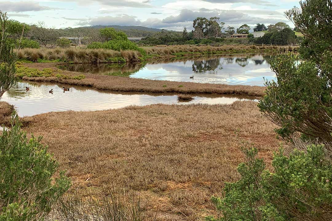
Don Heads beach is a cobble recurved spit which is attached at its western end to the base of the 50 m high heads, and curves to the southeast for 200 metre into the entrance to the river. Nearby is 2 ha wetland, which is encircled by the Don Heads Nature Trail. The narrow cobble ridge is fronted by 100-200 m wide intertidal rock flats. Don Head is accessible by car from the Don Heads Road.

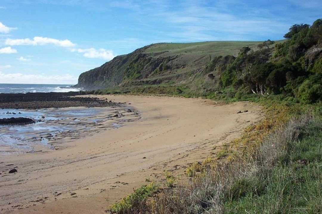
Paradise Cove, West Devonport
Paradise Cove, West Devonport
10 km east of Devonport via Don Heads walking pathThe coast between Don Heads and the penguin-viewing platform at Lillico Beach is largely undeveloped. A few fences and a few farm buildings and houses several kilometres metres away are the only man made structures that can be seen while walking the coastline. The area has little protection – and is on Devonport's doorstep. The coast features a small tesselated pavement, a blowhole, basalt columns and a number of small beaches, including Paradise Cove.
Paradise Cove is a rarely visited 150 metre long high tide beach, bordered by rocky points backed by 20-30 m high cleared slopes. In between steep vegetated bluffs back the beach, which is fronted by intertidal rock flats which dominate all but a central sandy channel. Another isolated beach is located 100 metres to the east, and is a 50 metre long pocket of high tide cobbles, bordered by rocky points fronted by intertidal flats, with a deeper central channel between.

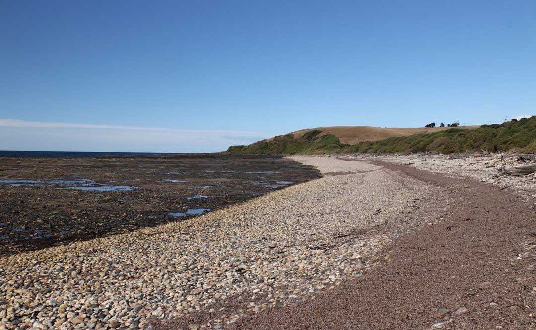
Lillico Beach
Lillico Beach
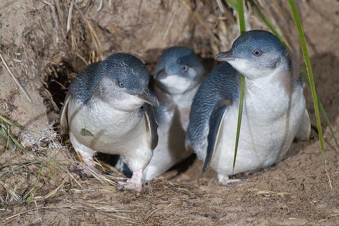
12.6 km east of Devonport via Bass HighwayLillico Beach Conservation Area, 6km west of Devonport alongside the Bass Highway, is a beautiful spot during the day (coastal bush with pebbles, rocks and a boardwalk, but no sand) and wonderful around dusk when a colony of fairy penguins come in for the night after a day of fishing in the open ocean.
Lillico Beach
Between October and April, volunteer guides are on hand to provide information and use red light torches so visitors can see the penguins clearly from viewing platforms. The highlight of the viewing experience is seeing the little penguins emerge from the sea and make their way over the rocks and up the beach to their burrows. The walkway is wheelchair friendly.
Sheffield
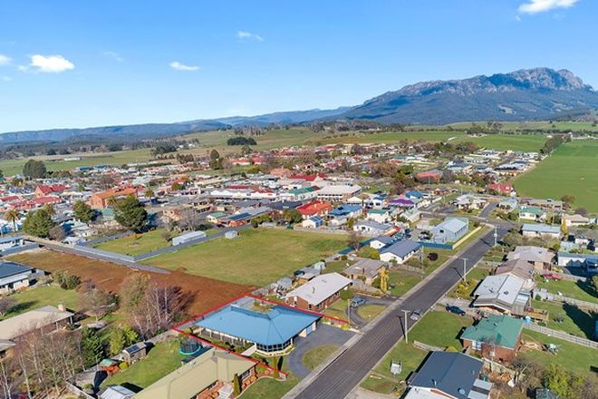
26.3 km south of Devonport via Spreyton and Nook RoadA rural inland town set against the backdrop of Mt Roland, Sheffield is known as the Town of Murals because of the many murals that decorate the walls of buildings around the town. Names like Promised Land, Paradise and No Where Else were used to encapsulate the beauty of the region. Visitors today believe this still rings true! View rich agricultural fields, rolling green hills and natural vistas when journeying to Sheffield, Cradle Mountain, Wilmot and Railton.
Drives from Devonport
Bass Highway: west to Marrawah
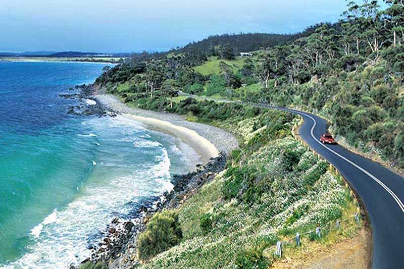
Bass Highway connects the major cities and towns of Tasmania's North West - beginning at Launceston, and following the coast through Devonport and Burnie, all the way to Marrawah on the west coast. Along the way, there are dozens of roads leading off the highway that will take you to pretty coastal villages on one side and the region's beautiful hinterland on the other.
Castra Road
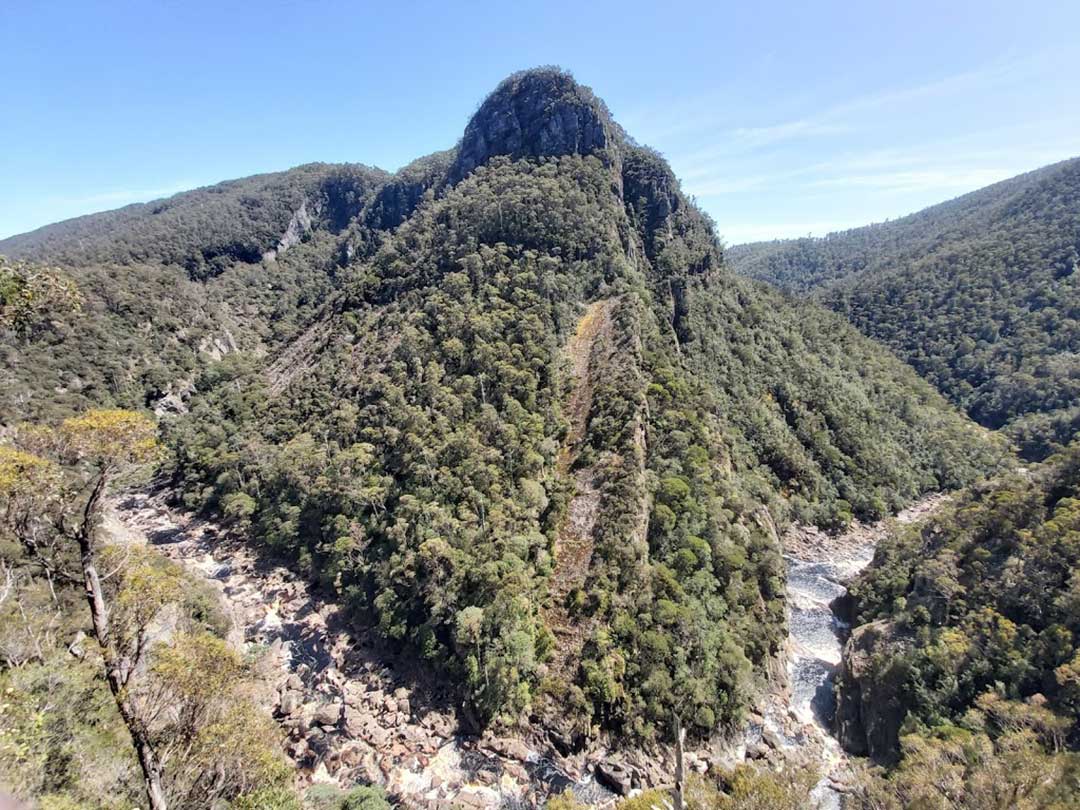
Castra Road (State Route B15) starts at Ulverstone and winds its way south through picturesque hills and farmland on its way to Nietta, a tiny village located about 44 kilometres south-west of the town of Devonport. If approached from Devonport via Forth, Castra Road is joined at the village of Sprent. On the way you'll pass some of the prettiest dairy farming country you are ever likely to see. Drive a little further past Nietta and you'll reach Leven Canyon, a little-known tourist destination in Tasmania where you'll come face to face with nature at its most dramatic.

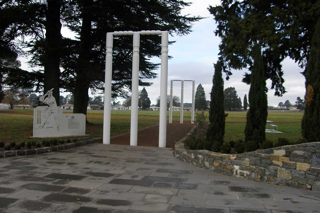
Meander Valley Highway
There are essentially two ways to travel by road between Devonport and Launcestion; there's Bass Highway, which is takes just over an hours and bypasses just about every town on the way, and then there's the Meander Valley Highway, which follows Bass Highway closely, but takes in just about every town, village and settlement on the way. It will take a lot longer, and how much longer depends on how captivating you find the places you pass through.


A PocketOz Travel and Information Guide
Design and concept © Stephen Yarrow | Email | W3Layouts | Test


