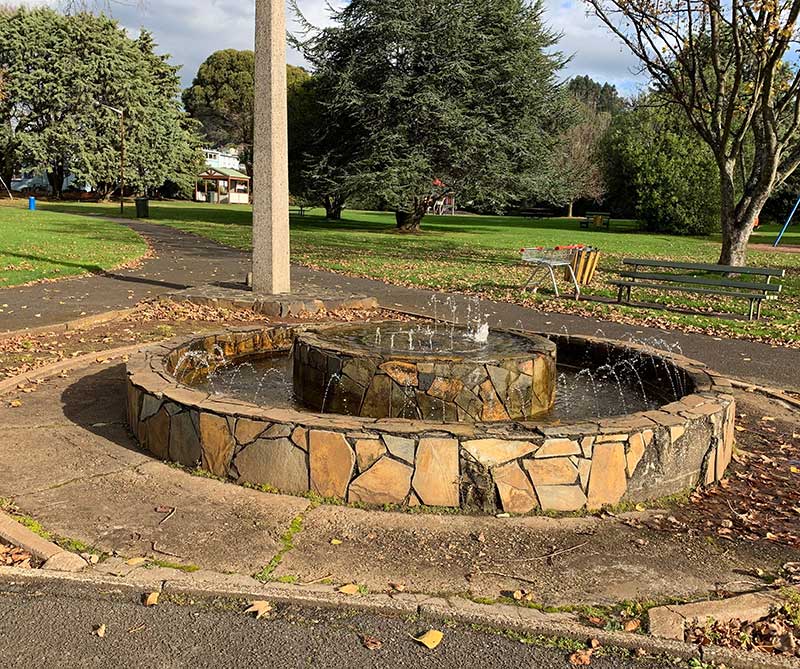
Oakleigh Park, close to Burnie's business centre is regarded as the birthplace of Burnie and cradle of the north west coast because the Van Diemen's Land Company's chief surveyor, Henry Hellyer camped there in 1827. With the company chief agent, Edward Curr's later agreement, Hellyer decided that Burnie's Emu Bay, which Oakleigh Park overlooks, should be the port servicing the company's tracts of land at Hampshire and Surrey Hills fifty kilometres inland around St Valentine's Peak. Hence, part of Oakleigh Park's cultural significance is historical.

This event is symbolised by a slender column of pink granite, and a plaque unveiled in the sesquicentenary year 1977. The park is a 0.5km walk from the City centre and features picnic seating and tables, playground equipment, a fountain and sundial. The park was named after a house known as 'Oakleigh' built for the Van Diemen's Land Company's Emu Bay overseer. It stood near the area from the early 1840s until it was demolished in 1962.
Get GPS directions

Round Hill, on the Penguin side of the city, is the highest point overlooking the city and the sea. It offers panoramic views in all directions - the view inland is towards farms, hills and escarpments, the coastal scenery includes views to Penguin in one direction and Table Cape in the other, as well as the majestic sweep of Emu bay. The Round Hill Lookout has two viewing platforms and one viewing tower. Views west back over Burnie, as far as Table Cape. East over Stowport and Blythe River Conservation area, as well as the coastline along the Bass Highway. The locality has pisnic facilities. Location: at the end of Letteene Road, Burnie.
Get GPS directions
Just about every town and city has a park where one can go to relax and enjoy a little 'quiet time', but few are as pretty and enjoyable as Burnie Park, just west of the city centre on the highway.
read more