
Hobart's Beaches

Hobart is surrounded by water and the River Derwent provides for a host of beautiful beaches near to the city. Swimming and other water sports such as small boat sailing, rowing, windsurfing and water-skiing are all enjoyed at sites up and down the Derwent estuary.
Based on long term monitoring, most of the Derwent's popular swimming beaches receive either good or fair grades in terms of water quality, with the best water measured at Taroona, Hinsby and Blackmans Bay beaches followed by Oppossum Bay and Little Sandy Bay.

Nutgrove Beach
Beaches in the Hobart municipal area around the suburb of Sandy Bay include Nutgrove Beach; Long Beach; Lords Beach; Red Chapel Beach, Sandy Bay; Short Beach and Cornelian Bay Beach, Cornelian Bay. Long Beach is very popular for picnics, BBQs, boating, sailing and sailboarding. Nutgrove Beach extends 700 metres east to the rounded tip of the low Sandy Bay Point, a 300 metre wide sandy foreland that is now heavily developed. The beach faces north up the Derwent and consists of a steep narrow high tide beach, with deep water and boats moored 50 m offshore. It is backed initially by bayfront houses, then a yacht club and Sundown Park and Long Beach Reserve, the latter protected by a basalt seawall.

Long Beach once connected with Nutgrove Beach and is now separated by the seawall. The narrow 150 m long beach occupies the rear of 400 m wide Little Sandy Bay, an east-facing embayment formed between the once sandy foreland (Sandy Bay Point) and the rocks of Blinking Billy Point. Today the narrow beach is backed by a seawall, hotel, parking and park facilities, with the Sandy Bay Road clipping the southern corner of the beach. The small reflective beach receives low refracted swell, which surges up the narrow beach.

Blinking Billy Point Beach is a 150 metres long narrow strip of high tide cobbles and sand that extends due south of Blinking Billy Point and is backed by 10 metre high bluffs then blufftop houses between the beach and highway. There is public access from the point area and a boat shed at the southern end.

Red Chapel Beach has bayfront houses lining the slopes to the rear of the beach. The narrow 150 metre long beach is bordered by intertidal rocks, with rocks also outcropping along the shore. It is backed by a seawall and some boatsheds with trees overhanging the beach. It can only be accessed on foot from a small grassy reserve at the southern end.

Lords Beach is the next segment of the once continuous beach. It lies immediately south of the Wrest Point seawall and today consists of a 70 metre long wedge of sand located between the casino seawall and the seawall for the Channel Highway, which runs right past the beach, with houses rising on the slopes to the west. A covered jetty is located immediately south of the beach and boats are moored in the deepwater within 50 metres of the shore. The 2.1 km long beach faces south-southeast into Storm Bay exposing it to all southerly swell. Waves average 1-1.5 metres and maintain a moderately steep beach fronted by a continuous bar which is cut by rips every 200 metres during and following high waves, with permanent rips against the rocks at each end.
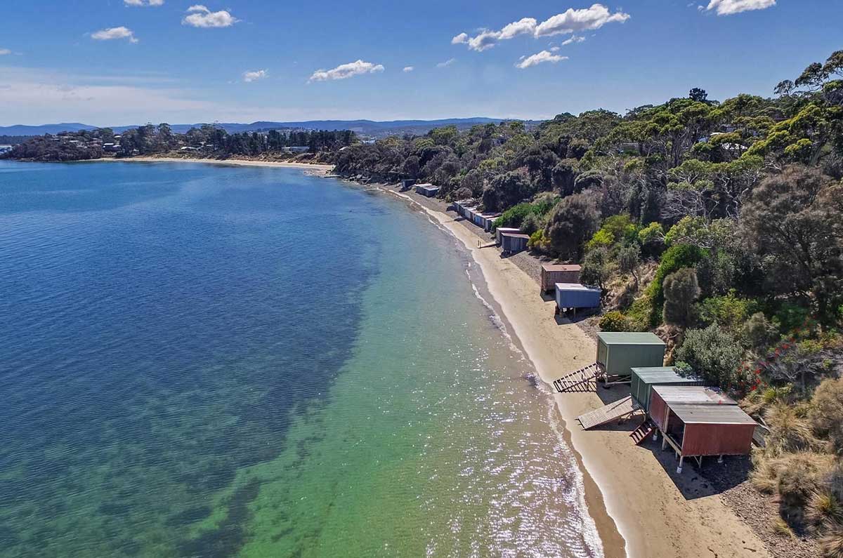
Cartwright Point is a protruding rocky point located immediately south of Cartwright Creek. The narrow eroding beach is backed by vegetated bluffs. There is public access via some steps at the northern end of the beach. The suburb of Taroona lies 1 km south of Cartwright Point.

Taroona Beach
Taroona (an Aboriginal word meaning sea-shell, specifically that of a 'Chiton') is a major residential suburb approximately 15 minutes drive south from the centre of Hobart, on the scenic route between Hobart and Kingston. In the first half of the 20th century, large and elegant residences were built, as well as beach shacks and cottages which were used for seaside holidays by the residents of Hobart. Taroona Beach adjoins Taroona Park which is a family friendly area with a playground, fitness area and nature trail.

Taroona and Hinsby Beaches have the best water quality in the Derwent Estuary and are a haven for swimmers, kayakers, snorkelers and scuba divers. The beaches and waters provide enjoyment of nature and health benefits for walkers, joggers, beachcombers, nature photographers, bathers, children’s playgroups, scouts, community and landcare conservation groups and other recreational and leisure activities. School groups regularly use the beach for exercise and snorkelling.
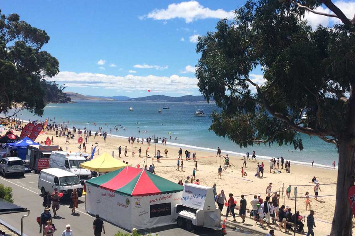
Kingston Beach
Kingston is a busy township just south of Hobart which has several small sheltered beaches and bays,for both surf and estuary swimming. Kingston Beach is the main beach, although the smaller beaches all offer something unique to the visitor. There are rock pools at Boronia, the blowhole at Blackmans Bay and you can follow the underwater snorkelling trail at Tinderbox Beach. There is an old colonial fort at Piersons Point from which there are expensive views across D'Entrecasteaux Channel and across to Bruny Island.

Bellerive
The suburbs of Bellerive and Howrah, on the eastern side of the River Derwent, both have beaches on their doorstep. Bellerive Beach is situated between Kangaroo Bluff and Second Bluff alongside Alexandra Esplanade. Howrah Beach is situated to the east of Second Bluff. At the point of Kangaroo Bluff is the 19th century fortress known as Kangaroo Battery (built 1885) which is now a public park.
Seven Mile Beach
Seven Mile Beach, also on the eastern shore, Seven Mile Beach is a former holiday home area that offers one of the best 'walking' beaches in the Hobart area. The beach is a long crescent of sand overlooking Frederick Henry Bay. Curving along a natural sand spit, it extends east from the Seven Mile Beach residential area to Sandy Point. There is a general store at the western end of the beach, day use areas with picnic facilities, showers and toilets, a children's playground and a range of holiday accommodation.

Clifton Beach
Clifton Beach is one of Hobart's most popular beaches. Situated some 35Km SE of Hobart it is about a 30 min. drive from the city centre. Clifton Beach is the home of the Clifton Beach Surf Lifesaving Club. One side of the Clifton Beach peninsula faces across Pipe Clay Lagoon towards Cremorne and the other looks onto Frederick Henry Bay.
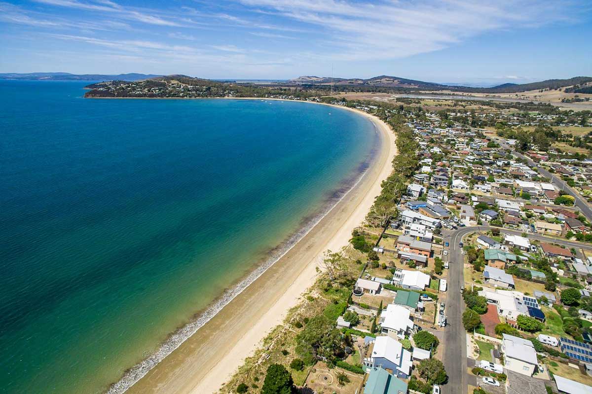
Lauderdale
Lauderdale, on the eastern shore, is set around the safe, beautiful, white sands of a long swimming beach. It is popular for fishing, boating and wind-surfing, and is close to the airport. Lauderdale is becoming increasingly popular as a place to live with young people, its relaxed beachside suroundings and lifestyle becoming increasingly appreciated.

Cremorne
Cremorne is a sleepy coastal community situated some 30Km SE of Hobart it is about a 30 min. drive from the city centre. Cremorne is one of the very few locations in the area for launching boats onto Frederick Henry Bay. Cremorne faces across Pipe Clay lagoon towards Clifton Beach with a beach fronting onto Frederick Henry Bay.
Blue Lagoon Beach
Dodges Ferry
Park Beach and Clifton Beach are the closest surfing beaches to Hobart, each about a 35-minute drive from the city centre. Park Beach is in Dodges Ferry at the end of Carlton Beach away from the river mouth.

Tiger Head Beach
Tiger Head Beach is the main beach at Dodges Ferry. The beach is low and narrow, usually calm, and backed by numerous boat sheds, together with a boat ramp, two jetties and several boats usually moored off the beach. Tiger Head Bay is an open bay on Frederick Henry Bay in the lee of Tiger Head, with an 800 metre long, northwest facing beach (T 395) running from the head to low rocks at Dodges Ferry. The beach is low and narrow, usually calm, and backed by numerous boat sheds, together with a boat ramp, two jetties and several boats usually moored off the beach. Tiger Head is close to the Pitt Water entrance channel, and strong tidal currents flowing past the flats. Seven Mile Beach is on Tiger Head Bay.
Red Ochre Beach
Red Ochre Beach is a protected west-facing beach located on the north side of Spectacle Head and is divided into two sections by a 50 metre long central outcrop of low rocks and boulders. The northern half consists of a wider sandy high tide beach and low hummocky foredune, with a narrow shallow bar and the Blue Lagoon Reserve backing the southern end.

Orkines Beach
Okines Beach is located immediately north of Dodges Ferry and runs north for 1 km forming the eastern shore of the inner entrance to Pittwater. The beach is sheltered by the entrance tidal shoals and its estuarine location with usually calm conditions at the shore.

Opossum Bay
Opossum Bay is an attractive beachside hamlet approximately 40 minutes drive from the Hobart CBD on South Arm on the east bank of the Derwent near the river mouth. It has the advantage of being not too distant from the city while being at the 'end of the line.' Opossum Bay has expansive views across the Derwent River channel to Kingston and the Alum Cliffs at Taroona, with Mt. Wellington beyond. At Opossum Bay there is a sandy beach in a sheltered bay.