
Lindisfarne
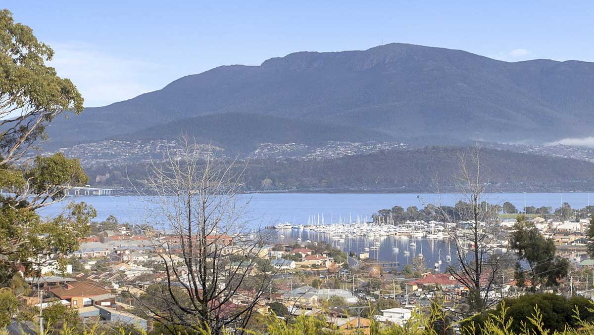
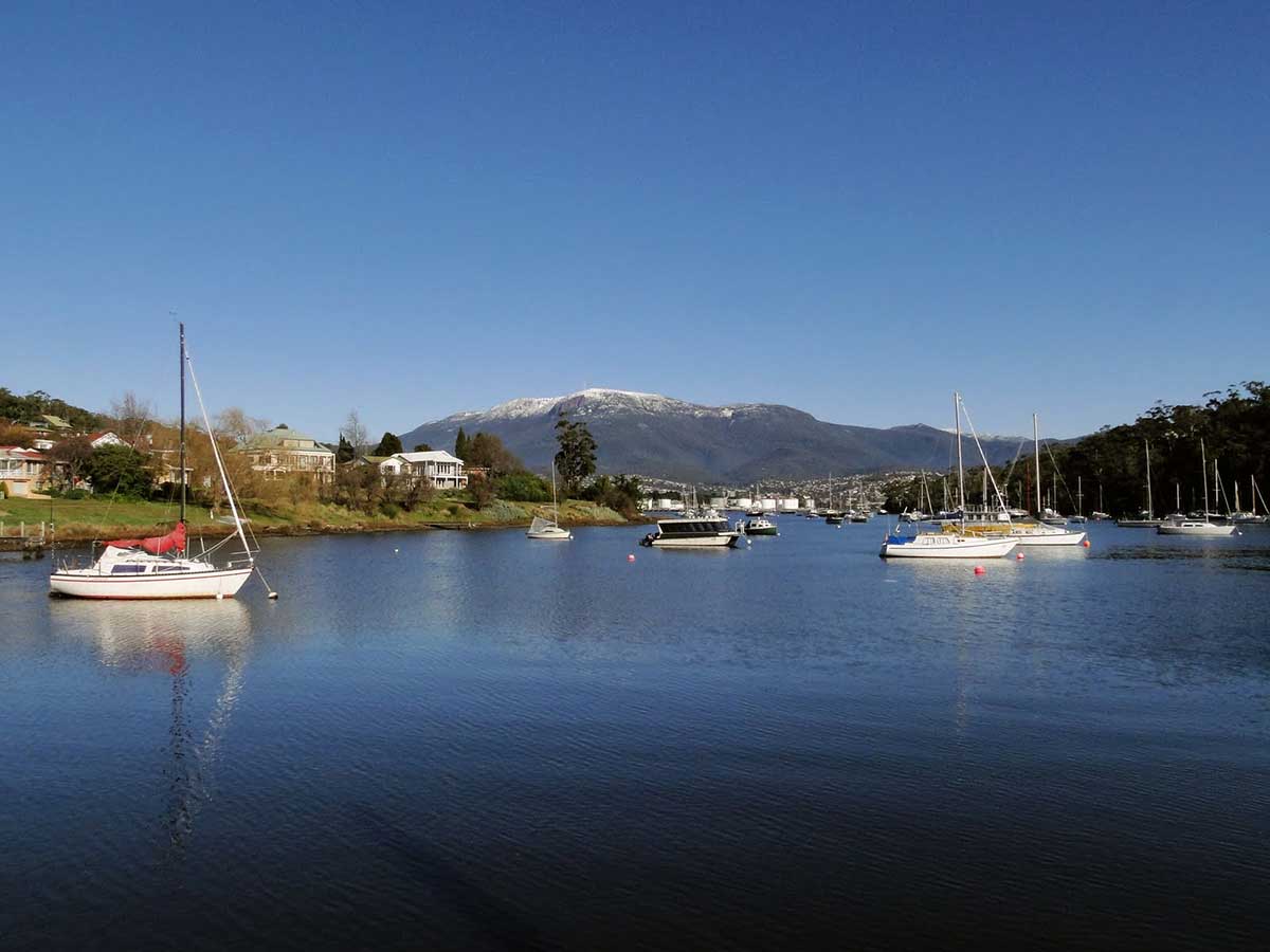
The suburb of Lindisfarne, on Hobart's Eastern Shore, is located approximately 6 kilometres from the City Centre. Lindisfarne is centred on a bay of the same name that is one of many such sheltered anchorages on the Derwent River. The bay is home to a number of clubs that cater for rowing, sailing and motor-cruising the local waterways, making this riverside suburb an ideal to live if you enjoy yachting, canoeing, or simply being out on the water.
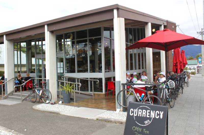
Currency Cafe
The Lindisfarne Village is the suburb’s hub of activity. It offers residents all of the everyday needs, including a Woolworths, pharmacy and newsagency.Spencer’s Hobart and Currency Cafe are favourites among locals for dining out. The latter, at 6 Hume Street, is so named because it occupies the old Commonwealth Bank building a block back from Derwent Avenue. The building was considered a daring, ultra modern example of 1950s architecture when the bank opened in the 1950s - no changes have been made to the building's structure in the transformation, which gives the cafe an urban rustic feel.
Lindisfarne has a large recreation park which includes playing fields—home to the Lindisfarne Blues competing in the Southern Tasmanian Football League now known as the SFL and the Lindisfarne Cricket Club competing in the Tasmanian Grade Cricket part of the Tasmanian Cricket Association, tennis courts—home to the Lindisfarne Tennis Club, Beltana RSL Bowls Club links and an ANZAC memorial park, all situated on a bluff overlooking the Derwent River and Mount Wellington. The memorial park is also the site of a large Tasmanian Aboriginal midden.
The suburb originally took its name from Lindisferne House, (Note: the name was originally spelt incorrectly), a property built in the 1820s near the suburb of Rosny. At one time the suburb was known as Beltana from 1892, but, because of confusion with Bellerive, it was renamed Lindisfarne in 1903 after Lindisfarne a tidal Island (Holy Island) in Northumberland, England, where Grace Darling and her father kept the lighthouse. Some Christian Church institutions in Lindisfarne take their names from the saints and scholars of the English Lindisfarne, such as St Aidan's Anglican Church and St Cuthbert's Catholic Primary School.
The easternmost part of the middle of the suburb, where the Beltana Bowls Club and the Beltana Hotel are located, is still locally known as Beltana. That name comes from Beltana Point, the headland between Lanrick Court and Koluri Court.
Natone Hill
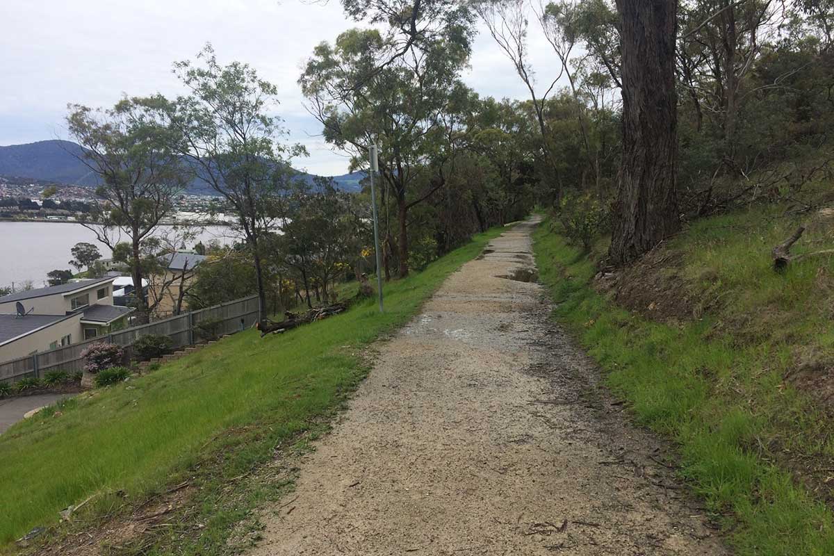
Natone Hill is the highest point of the Beltana headland. Natone Hill Circuit Track is a 2.7 km mostly flat bush track with views to water and mountains. Walk to the summit via Selfs Point View Track, Nubeena St track or Zig Zag Track. There are panoramic views from the top and you can view wartime bunkers completed by army reservists as a training exercise during World War II.
Clarence Foreshore Trail: Lindisfarne to Geilston Bay
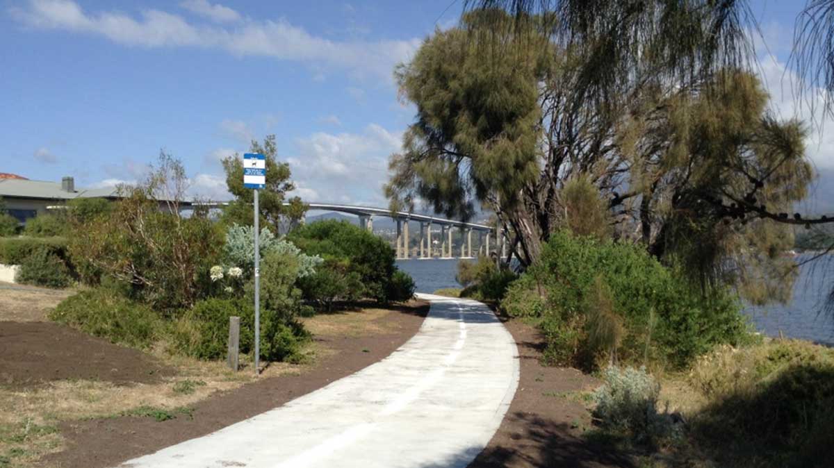
This section of the Clarence Foreshore Trail - from Lindisfarne to Geilston Bay - is pretty coastal walk overlooking the yachts in Geilston Bay and provides views across the river to Selfs Point and kunanyi / Mount Wellington. For an extended walk or bike ride, this walk can be done in conjunction with other sections of the Clarence Foreshore Trail.

The Trail is a multi-user pathway following the shores of the Derwent River. It offers a diverse range of scenery, from picturesque bays filled with moored yachts to she-oak forest and parkland. There are good views of the yachts in Lindisfarne Bay and a boardwalk section protrudes over the river. The trail passes under the Tasman Bridge where a memorial plaque remembers the lives lost when the bridge collapsed in 1975.
More
Geilston Bay
The neighbouring suburb of Geilston Bay takes its name from the inlet of Geilston Bay (officially called Koomela Bay), which recalls Colonel Andrew Geils of the 73rd regiment, who arrived in Hobart Town in 1810. Geils was appointed Commander of the settlement of Hobart in 1812, upon the death of David Collins. Colonel Geils lived on a property in Geilston Bay which he called "Geilston Park". The name appears on a 1830s map as "Geil's Town Farm, 500 acres, 3 miles from Hobart Town on the Derwent, 16.4.1824). Prior to that, the bay was known as Limekiln Bay.
As well as being the home for the Commander, the suburb once had a large apple orchard, and at another time a golf course. Local Boat owners moor their yachts in the bay and frequent the Geilston Bay Boat Club which organise races, operates two slipways and a five berth jetty and has a function room and bar facilities. The River Derwent was the site of the first regatta in 1827 in Australia.