little swanport, Tasmania
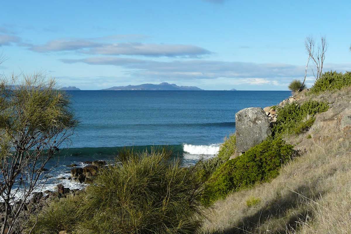
Little Swanport is a small village on the shores of Great Oyster Bay, between Swansea and Triabunna. It takes its name from the Little Swaqnport River and sits alongside the little river's mouth.
Little Swanport is home to Little Swanport Tasmanian, an aboriginal language of Tasmania. It was spoken near the modern town of Little Swanport. It appears to have been a distinct, separate language from other word lists collected near Oyster Bay. The Little Swanport language is attested in a list of 211 words collected by the 1830s Protector of the Tasmaninan aboriginals, George Augustus Robinson.
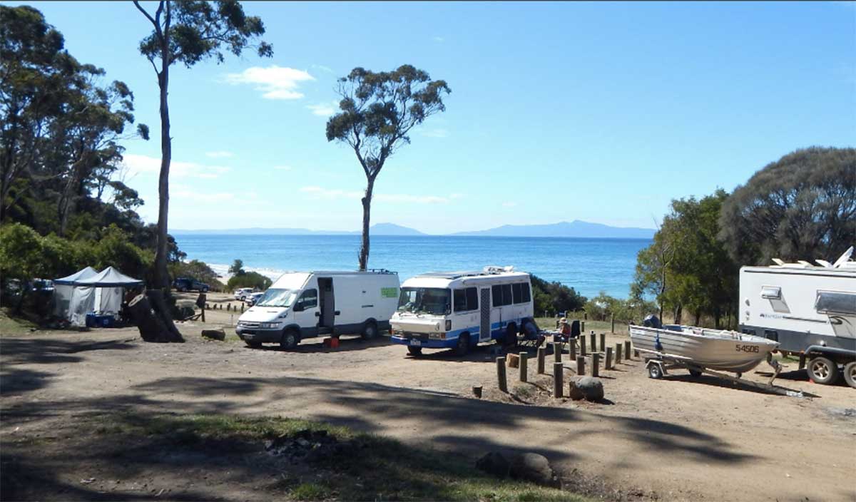
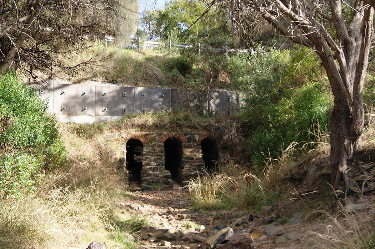
Just north of Little Swanport is Mayfield Bay camping area, a popular spot among caravanners looking for a little seaside camping and fishing. The beach also has boat-launching access. If you are not into fishing, there is a lovely beach that offers good snorkelling, wonderful views across Great Oyster Bay to Freycinet Peninsula and the 1845 convict-built Three Arch Bridge is nearby. The reserve has shady trees and toilet facilities but you'll need to bring your own drinking water and camping gear.
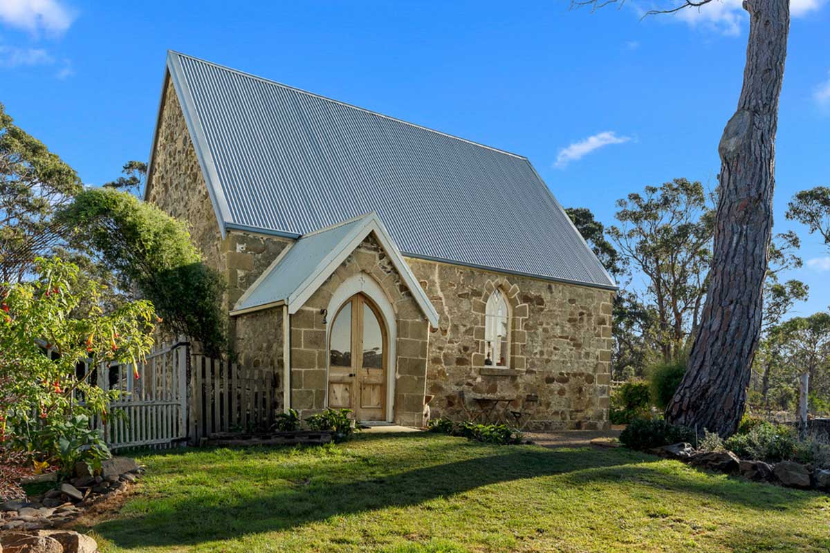
Mitchell Cottage, formerly a non-denominational church, was built circa 1860 as part of the Lisdillon Estate. The solid stone church was erected specifically for the family and workers of the estate by then owner John Mitchell for use by the Mitchell family and workers of the Lisdillon estate. It was also used for schooling, which gave rise to the building being known as the Little Schoolhouse Chapel. In recent years the chapel has benefited from a comprehensive renovation. Location: 11257 Tasman Highway, Little Swanport.
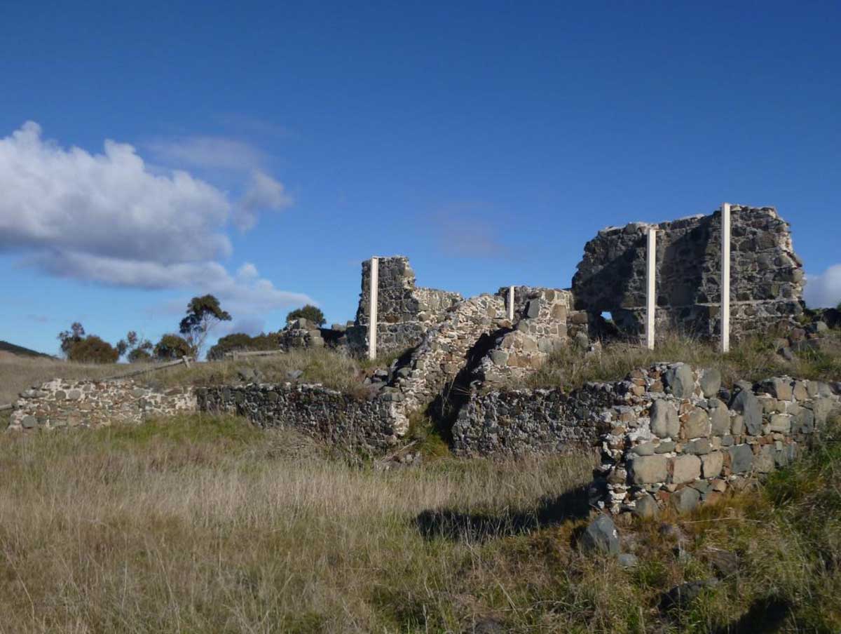
Lisdillon salt Works
Salt was used in the early years of the colony for preserving food and hides. It was also used in the manufacture of articles such as soap and earthenware. Most supplies were imported from England at relatively high cost. The Lisdillon salt works were one of a number of small scale, speculative works established in Van Diemens Land to meet colonial needs. The Site is one of only two early salt manufacture works in eastern Australia where substantial remains can still be found (the other being at Norfolk Island). The ruins here form an intriguing and highly significant part of the industrial heritage of Tasmania and Australia.
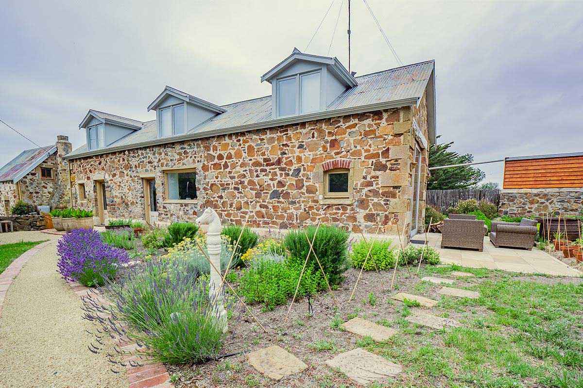
Old coach house, Lisdillon
In 1819, James Radcliffe a settler was granted land at Little Swanport which he named 'Lisdillon'. In the 1820's he built a substantial two storey stone house about 3km north of the mouth of the Little Swanport River, which is still occupied today. Having established himself on his land, Radcliffe proceeded to establish a salt works, there being no other local supply than the salt lagoons of Salt Pan Plain. Although they operated only briefly in the late 1830s, the salt works established by James Radcliff at 'Lisdillon' were well-constructed and technologically innovative.
The Lisdillon Salt Works are situated on Saltworks Road which joins the Tasman Highway between Boomer Creek (to the south) and Lisdillon Rivulet (to the north), near Little Swanport, approximately 24 km south of Swansea. About 1.5km along Saltworks Road there is an access road on the left hand side which runs to the salt works site car park.
Lisdillon later became a prospering township under a tenant farm system. Nine families formed a small community with a general store, pharmacy, church, school, and post office, as well as fielding its own football and cricket teams. It was at this time that Truganinni, one of the last full-blooded Tasmanian Aborigines, visited Lisdillon with George Robinson. While she was there she made a basket comprised of grasses from Lisdillon and presented it to the owner at the time, Mark Mitchell. Mark’s daughter, Sarah, later donated it to the Queen Victoria Museum in Launceston.
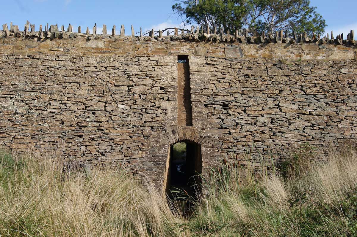
Spiky Bridge
An unusual stone bridge which is more like a causeway, Spiky Bridge was built in the period 1845-48 by convicts from the Rocky Hills probation station on the east coast of Tasmania. The structure is an edifice to convict craftmanship. Previously named La Farelles bridge, its present name derives from its distinctive parapets. It was constructed from fieldstones which were laid without mortar or cement. The parapet features fieldstones laid vertically which gives the bridge a spiky appearance. It has been claimed that the spikes were designed to prevent cattle falling over the sides.
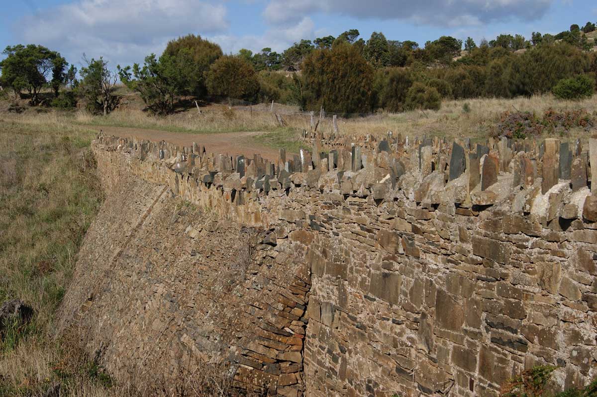
It took the cunning and ingenuity of an Irishman to ensure that a notoriously difficult road on Tasmania's east coast was improved. Edward Shaw was a friend of Major de Gillern, then superintendent of the Rocky Hills Probation station. Tired of his requests to improve the road traversing the steep gully south of Waterloo Point, some 7.5 kilometres south of Swansea, Edward took matters into his own hands. One night while driving the Major home he took the gully at full gallop making the journey somewhat uncomfortable for the Major. In no time a convict gang was assigned to build a bridge across the sharp dip.
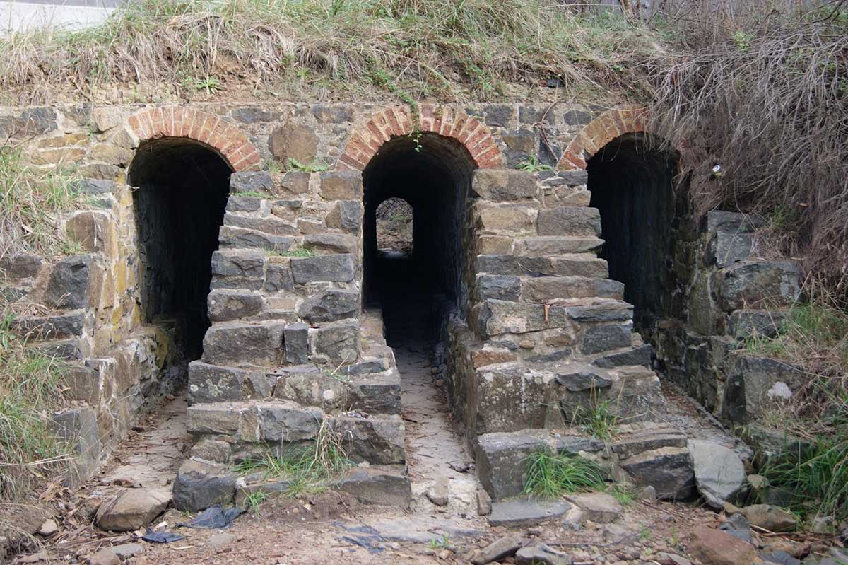
Three Arch Bridge
7 kms further south of the Spiky Bridge is another interesting bridge, again named in a practical manner. Three Arch Bridge, also convict built, is actually underneath the existing east coast road, which has been constructed over the top. You can access the bridge by walking 40 metres along a track from the carpark and camping ground at Mayfield Beach.
Great Oyster Bay
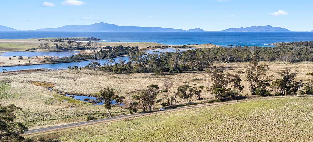
A broad and sheltered bay which opens onto the Tasman Sea in its south, Great Oyster Bay is one of the most scenic stretches of water in Australia. The Tasman Highway runs close to the West Coast of the bay with spectacular views of the rugged granite peaks of the Hazards of the Freycinet Peninsula which are incorporated in the Freycinet National Park, and Schouten and Maria Islands to the south. Sea kayaking in the sheltered waters on the east side of the bay from Coles Bay is very popular, with many small and isolated beaches on the Freycinet Peninsula to explore. Recreational fishing is also popular activity in the bay with flathead, Australian salmon, trevally, trumpeter and squid regularly caught. Dolphins and Australian Fur Seals can often be seen and whales often frequent the bay in winter.
Prior to European settlement the area was occupied by Tasmanian Aborigines. From autumn through winter various bands of the Oyster Bay Tribe congregated around the coastal areas to harvest shellfish and marine vegetables until the end of July, when swans and ducks arrived in the lagoons and riverine areas to lay their eggs and raise their young. Aquaculture has been practiced in the area since the early 1970s. Species cultivated commercially include Pacific oysters, native oysters, mussels, scallops, abalone and sea urchins in the Great Oyster Bay and Mercury Passage. An initial marine farming lease set up in 1978 in Pelican Bay, with additional leases granted for shellfish culture since then in the northern section of Great Oyster Bay and the Swan River.
There are many vantage points along the Tasman Highway between the Coles Bay turn-off and Orford where you can stop and take photographs of this extremly picturesque stretch of water. One of the best, at the top of end of the bay is is just past the Coles Bay turn-off when travelling south, at the village of Apslawn, near Shelbourne Road. From the Great Oyster Bay Lookout you can enjoy a panoramic view across the top end of the bay towards The Hazard Mountains on Freycinet Peninsula.
