
Maydena, Tasmania

Maydena, alongside the River Tyenna, is a town on the Gordon River Road, to the south west of New Norfolk. To get there, drive through the Bushy Park Hop Fields, past the Styx Valley, turn left at Westerway, past Mount Field National Park and Russell Falls, through Tyenna and Fitzgerald townships and then up to Maydena itself. Gordon River Road continues to Lake Pedder, Lake Gordon and Strathgordon, in the Southwest National Park of Tasmania.

The 3' 6" gauge railway line in Maydena was once used for hauling timber and osmiridium ore, as well as a way point for the Dam builders up at Strathgordon. A portion of the disused rail track is now being used by a pedal powered 'Rail track riders' tourist attraction. The Railtrack Rider is the first, and to date only, tourism product of its type in Australia. It is a tour deep into the southern Tasmanian rainforest, travelling on lightweight, pedal-powered rail carts (Railtrack Riders) along an abandoned rail line. Location: 2 Mayne Street, Maydena.

Maydena Bike Park is a gravity-focused mountain bike park under development in Tasmania’s Derwent Valley; the park opened on the January 26th 2018. Designed and built by renowned trail company, Dirt Art, their world-class trails will offer something for everyone, from families through to elite riders. The park is serviced by a year-round up-lift bus service, servicing both mountain bikers and sightseers. Multiple gravity trails will capitalise on the unrivalled 820m+ vertical elevation available on site, offering a vast array of epic, long distance descending trails, catering for all abilities. The Park offers shuttle uplift service, sightseeing tours, bike hire, retail bike shop, café, bar, skills coaching and group skills sessions, and a wide range of tours.
Mt Field National Park
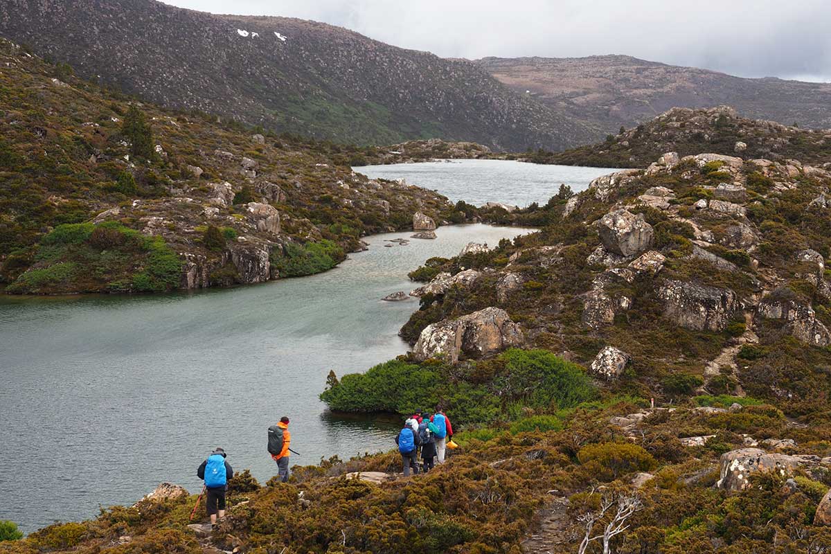
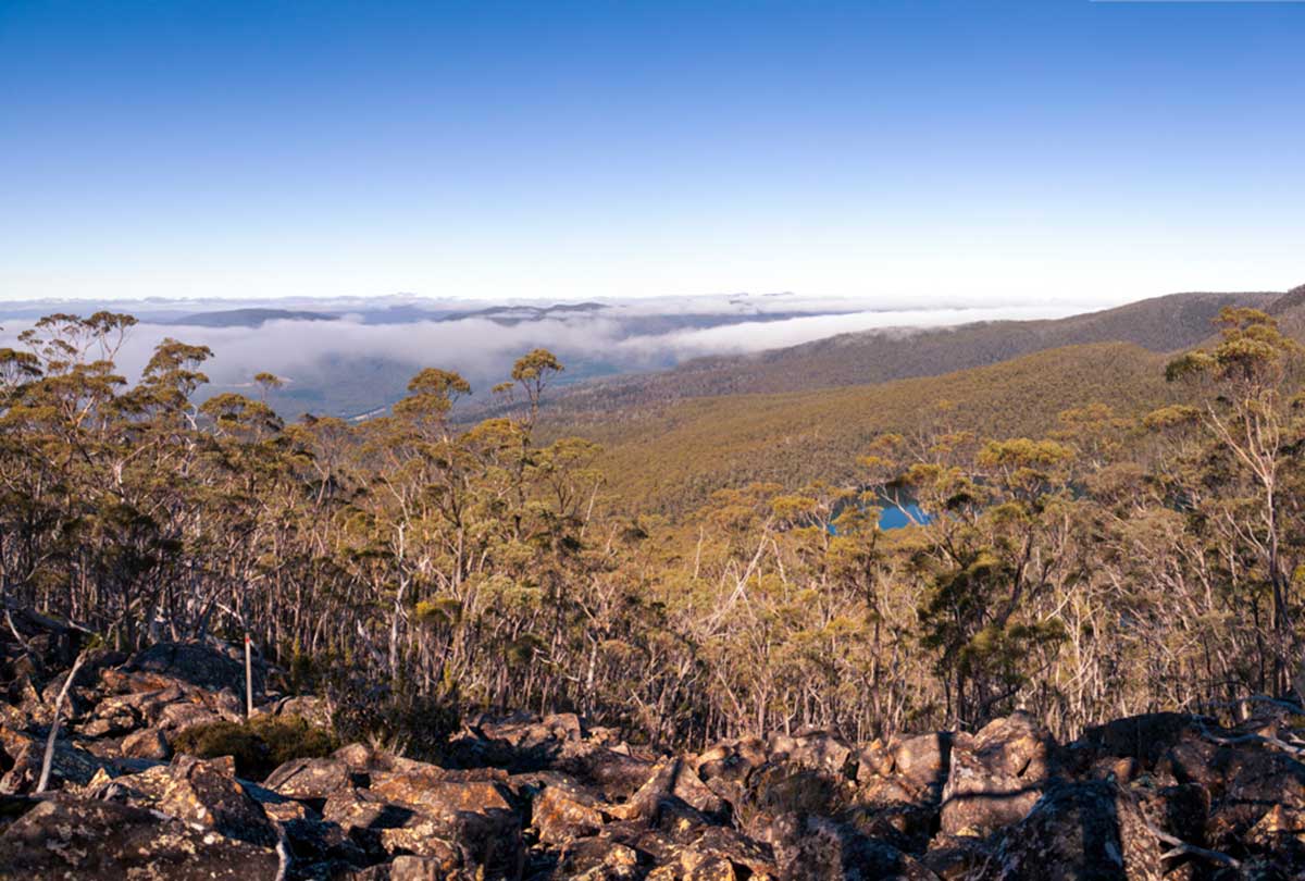
Mt Field National Park (16km west) is one of Tasmania's most loved national parks. The park has a wide variety of scenic features and wildlife and offers a great range of facilities for day visitors. Few other national parks in Australia offer such a diversity in vegetation, ranging from tall swamp gum forests and massive tree ferns at the base of the mountain, through rainforest along the Lake Dobson Road, to alpine vegetation at the higher elevations.
Features: Russell Falls, Marriotts Falls; Lady Barron Falls; Horseshoe Falls; Lake Dobson, Tarn Shelf walk, Wylds Craig walk; Florentine Valley walk; Tall Trees walk.

Russell Falls
Brown Mountain Broad River region near Ellendale is the last remnant of pristine wilderness, the last biologically diverse and stable ecosystem in this area. The area adjoins and is a continuation of the glacial valley that begins in the Mt Field National Park. There are extensive areas of tall Eucalypt forest with rainforest understorey together with pure rainforest in association with rivers and creeks, marshes and moss beds together with the great diversity of plant communities make this area unique and of very high conservation value.
The eastern slopes of Mt Field and Brown Mountain are a natural backdrop to Ellendale township, the northern slopes are clearly visible from the Lyell Highway. A large proportion of the region is visible from Mt Field National Park, all of which are of high aesthetic values. Community needs for the present and future generations will be decimated if this area is to be clearfelled. Clearfelling will result in the ecological genocide of a unique part of our environment.