
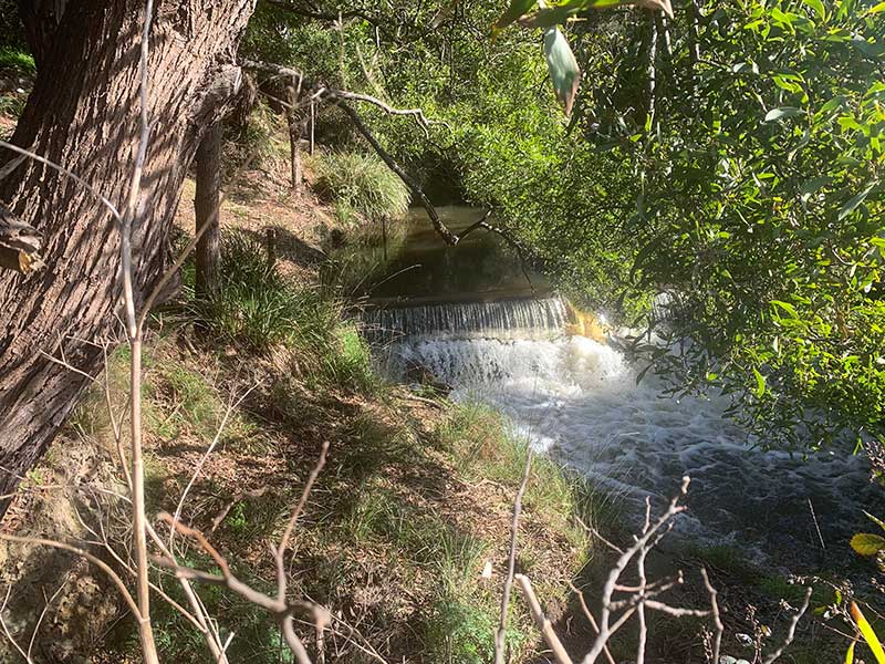
Chasm Creek, Tasmania

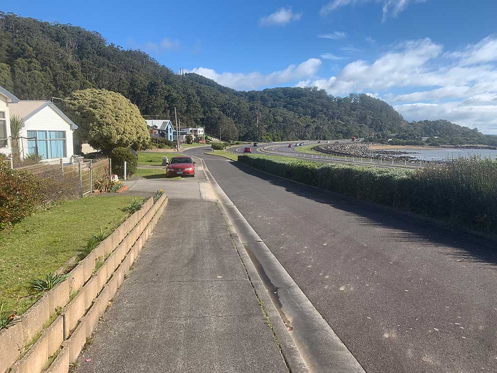
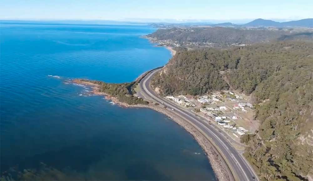
The coastal locality of Chasm Creek takes its name from a small watercourse that empties into Bass Strait there. The 2016 census recorded a population of 68 for the state suburb. The name is probably descriptive, as Chasm Creek does plunge down a small chasm on its way to Bass Strait. Chasm Creek rises in Upper Natone ans flows north through Stowport. The locality is about 6 kilometres east of Burnie.

In the early 1990s, brothers Thomas Stewart and William Rutherford prospected a section of their private property on the Chasm Creek Road. Upon discovering copper indications, they sank a prospecting shaft, and opened out at 20ft. on the side of a large gossan blow. After spending about £000 of their own money in prospecting, the Rutherford Prospecting Syndicate was formed, and, an extra section secured under mineral lease, tacked on to the private property, gave the syndicate an acreage of 90 acres. The shaft was continued down to 32ft., where they opened out and cut the lode 12ft. from the shaft. It is said the lode at this level was 8ft. wide, and assayed as high as 17 per cent. copper.
This drive was continued but had to be abandoned owing to the in-rush of water, which their pumping machinery was quite inadequate to cope with. Operations were confined to the 20ft level, where the drive was 120ft., following a seam or band of sulilhide ore, running through the country. This seam also contained black oxide of copper and native copper. At a distance of 75ft. this drive has been cross cut east. This is also in lode material, and an assay shows a value of 15 per cent. The bulk sample, however, sent to Mount Lyell smelters and the Dapto Smelting Company gave about half that percentage, but none of the ore sent away was taken front this crosscut.
Chasm Creek at Stowport today
Adjoining the Rutherford site on the northern boundary was a section of 40 acres held under mineral lease, and known as the Eclipse. A prospecting shaft was put down to a depth of 25ft., where a drive through gossan and felspathic rock, revealing green carbonate of copper and native copper. Sadly, this, the Rutherford Mine and others in the area failed to live up to expectations, and mining activity tapered out after the mining slump of 1907. The abandoned Rutherford Copper Mine is located on Chasm Creek.
A PocketOz Travel and Information Guide
Design and concept © Stephen Yarrow | Email | W3Layouts | Test