
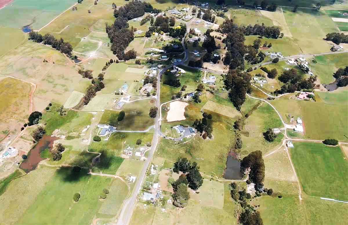
Natone, Tasmania

The locality and small rural community of Natone is located about 17 kilometres south of the town of Burnie. The 2016 census determined a population of 281 for the state suburb of Natone.
Natone is a Tasmanian Aborigibal name meaning 'mountain peak'. Saint Valentine's Peak, which was referred to as Natone by the Tasmsanian Aboriginals, was given its present name by explorer Henry Hellyer on 14/15 February 1827 when he climbed it. Upper Natone was gazetted in 1966, and confirmed in 1967.

The C102 route (Natone Road / Upper Natone Road) passes through from north to south-west. Route C114 (Lottah Road) starts at an intersection with C102 and runs south-west before exiting. Route C116 (Camena Road) starts at an intersection with C102 and runs south-east before exiting.
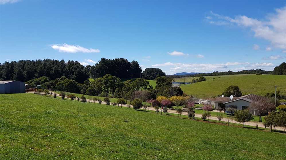
The perennial Blythe River rises near Rabbit Plain on the slopes of Mount Tor (west of Loongana) and flows generally north through Natone, entering Emu Bay in Bass Strait, at Heybridge, near Burnie. The river descends 685 metres over its 61-kilometre course. The river was named after Blyth in England, it being an old seaport and market town on the south side of the River Blyth in Norumberland. Van Diemen's Land Company' surveyor, Henry Hellyer, recorded the name on his 1828 map of the North West that documented his exploration of the area in 1827.
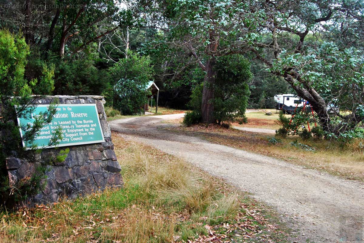
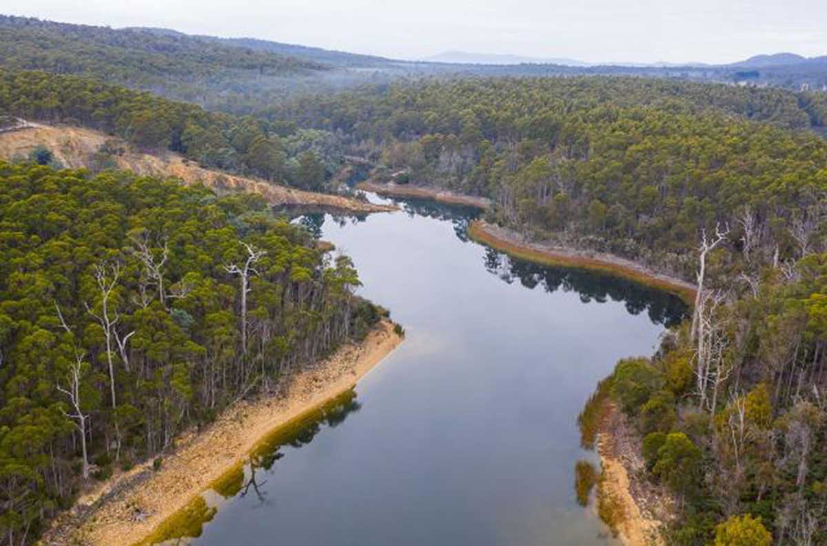
Explore the most popular trails near Upper Natone. The Lagoon Loop Walk explore the Upper Natone Reserve. Visitors can watch waterbirds enjoying the lagoon and surrounding marshland and make use of the reserve facilities and cook lunch on the barbecues provided. The park has amenities such as BBQs, picnic tables, toilets, a play area with swings, and the inviting Pat Crane shelter.
The trailhead can be accessed via Blythe Road. The path is flat and is suitable for the whole family. Tasmanian waratah and wattle trees add a splash of colour in spring. Generally considered an easy route, the 11 km loop takes an average of 20 min to complete. This trail is great for birding, hiking, and running, and it's unlikely you'll encounter many other people while exploring. Location: 1 Blythe Road, Upper Natone.
More
When Europeans first arrived to Tasmania in 1803, dense rainforests covered much of north-west Tasmania, including the locaility known today as Natone. What seemed like an unending sea of forest was looked at as a hindrance to progress, and the development of the colony. Initially product sourced from the forests included shingles, split posts, rails, palings and pit sawn lumber for the construction of buildings and farms.
More
A PocketOz Travel and Information Guide
Design and concept © Stephen Yarrow | Email | W3Layouts | Test