Preolenna Valley: Burnie to Preolenna
There are hundreds of names on a map of Tasmania, which to many Tasmanians are just that – a name on a map. Preolenna is such a place. I must admit that when a friend suggested it as a place to visit, I not only had to look on a map to find out where it was, I also had difficulty finding information about it.
When I discovered it once had a railway line leading to it to service the local forestry industry and a coal mine, my curiosity was sufficiently aroused to decide it was worth a visit. To my surprise I found that it was only 44 km west of Burnie, so we packed the car and headed for Flowerdale and the turn-off to Preolenna on Bass Highway.

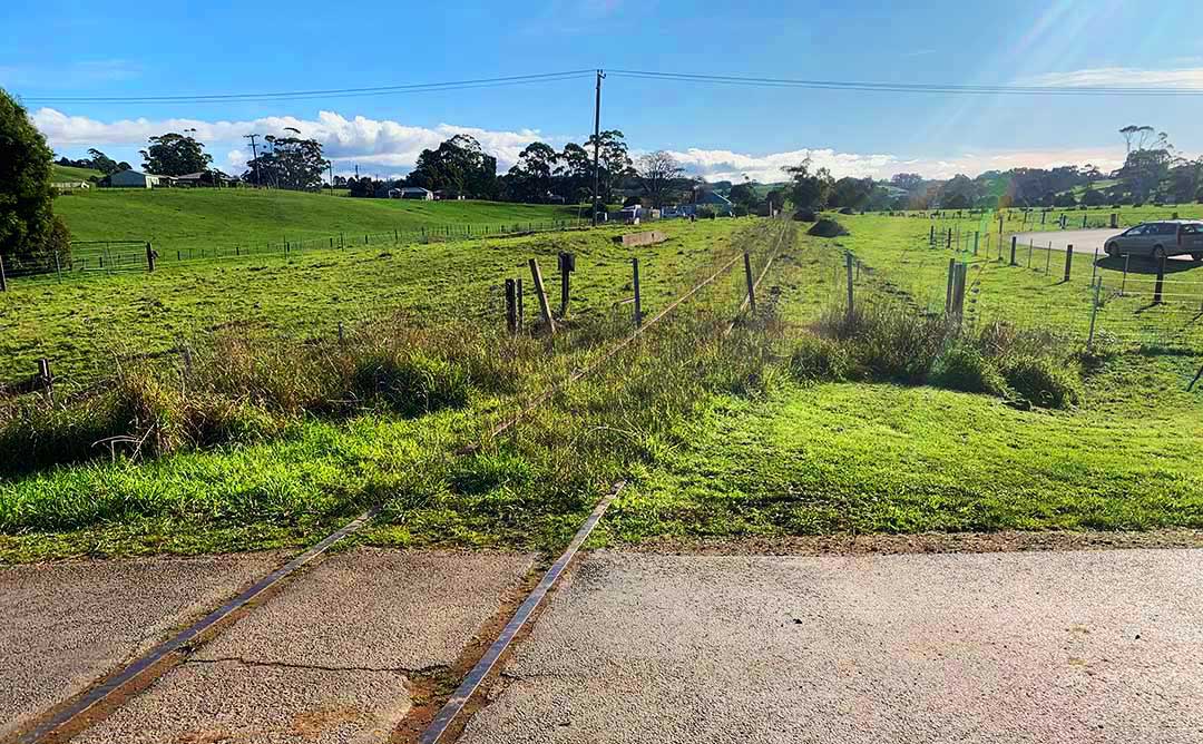
Set amid rolling hills covered in a mix of green fields and eucalyptus forest, Flowerdale is situated where the Inglis River meets its largest tributary, the Flowerdale River. Near the river, we crossed the overgrown tracks of the Preolenna railway line that was laid in 1917. Prior to the completion of the line, it was decided to extend it another 7.6km to Meunna, to better serve the areas coal mines. In 1930, 3,500 tons was shipped out of Maweena, most being coal or forestry products. By comparison, only 90 tons was being sent from Preolenna, so the line closed in 1931 when mining ceased and most of the track was soon lifted.
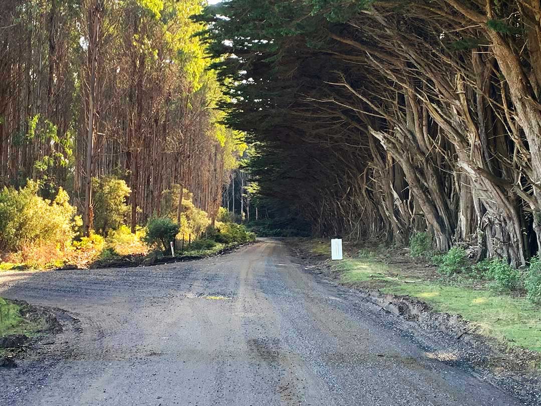
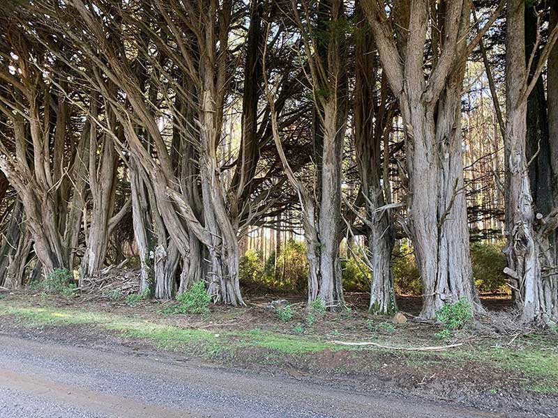
After we left Flowerdale, farmland gradually gave way to eucalyptus plantations in various stages of growth. In the late nineties, the Commonwealth Government introduced policy mechanisms to encourage investment in Australia’s plantation sector. The state government claimed that the scheme gave the region’s dairy farmers, struggling from low milk prices, the opportunity to sell up and leave with dignity. Many sold up and the forestry investors moved in.

Eight farms had been established at Preolenna for a soldier settlement following World War II, referred to as the Preolenna Estate until being renamed to Meunna. The locality is now unpopulated, with the exception of the Tarkine Wilderness Lodge, after the farms were acquired and converted to forestry plantations in the late 1990s. 27 farms disappeared around Preolenna, and Maweena disappeared altogether along with its school, the youth centre, and an entire community.
On the Maweena Road near the intersection of a couple of logging tracks stands a memorial to the communities lost to logging. The community hall, built by the settlers in 1955 was demolished in 1995, a plaque now marks the location of the building. It was here in the Meunna Youth Centre that Australia’s rural youth movement was born. Set away from the road slightly is a memorial featuring the names of pioneering veterans, farmers and graziers.
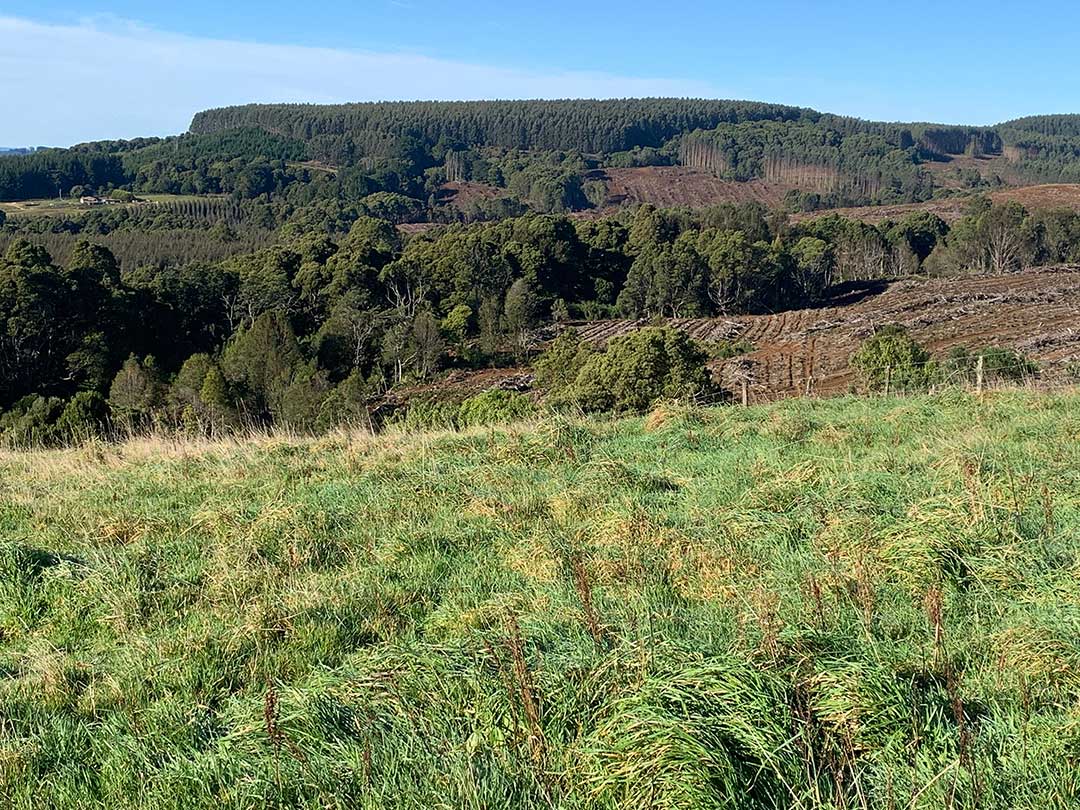
In spite of some conservationists describing the re-afforestation as "man’s incredible desolation of his landscape" in which "native rainforest soon becomes unswerving lines of eucalyptus monoplantations", there is no denying that the fast-growing eucalypts around Preonella and neighbouring Lapoinya look far better in the Tasmanian rural landscape than pine trees, and though planted rather than natural, they don't detract one iota from the compelling charm of the region.
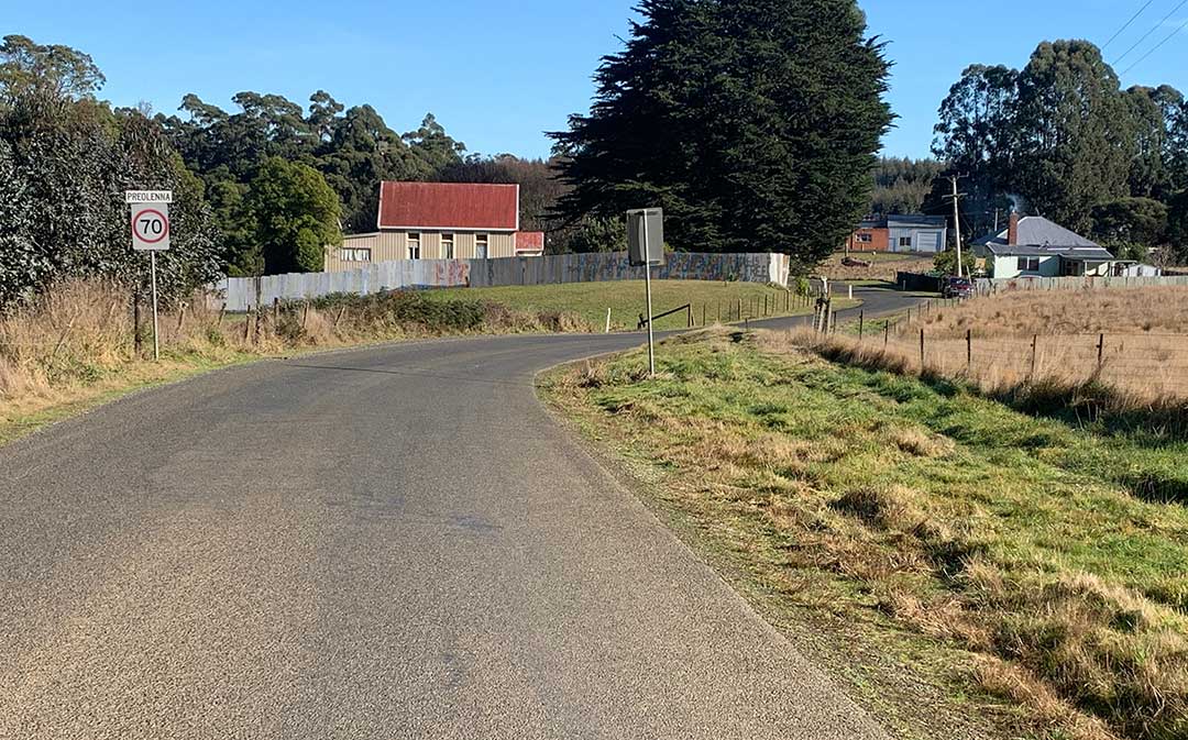
Preolenna
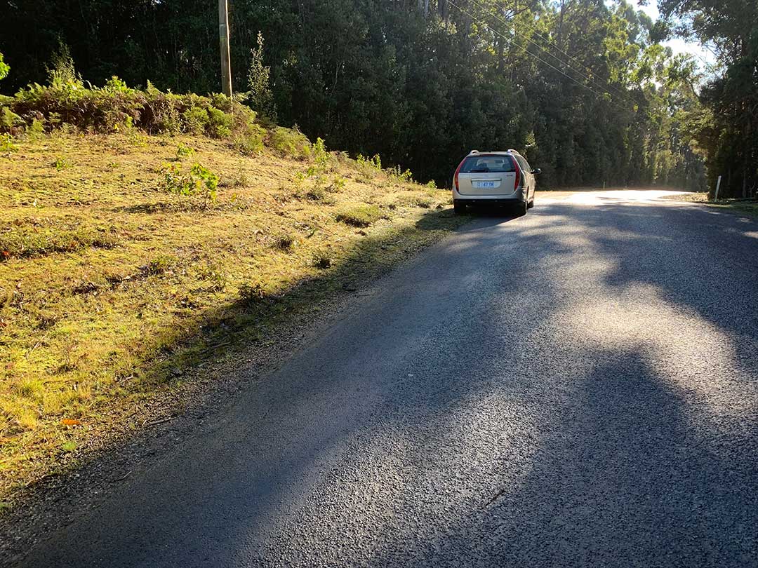
Preolenna survives as a small but close-knit community. Everyone knows everyone else and takes the time to look out for each other. Near the brow of a hill where we had stopped to take in the magnificent view around us, a friendly local stopped as she drove by to make sure we were ok and hadn’t lost our way.
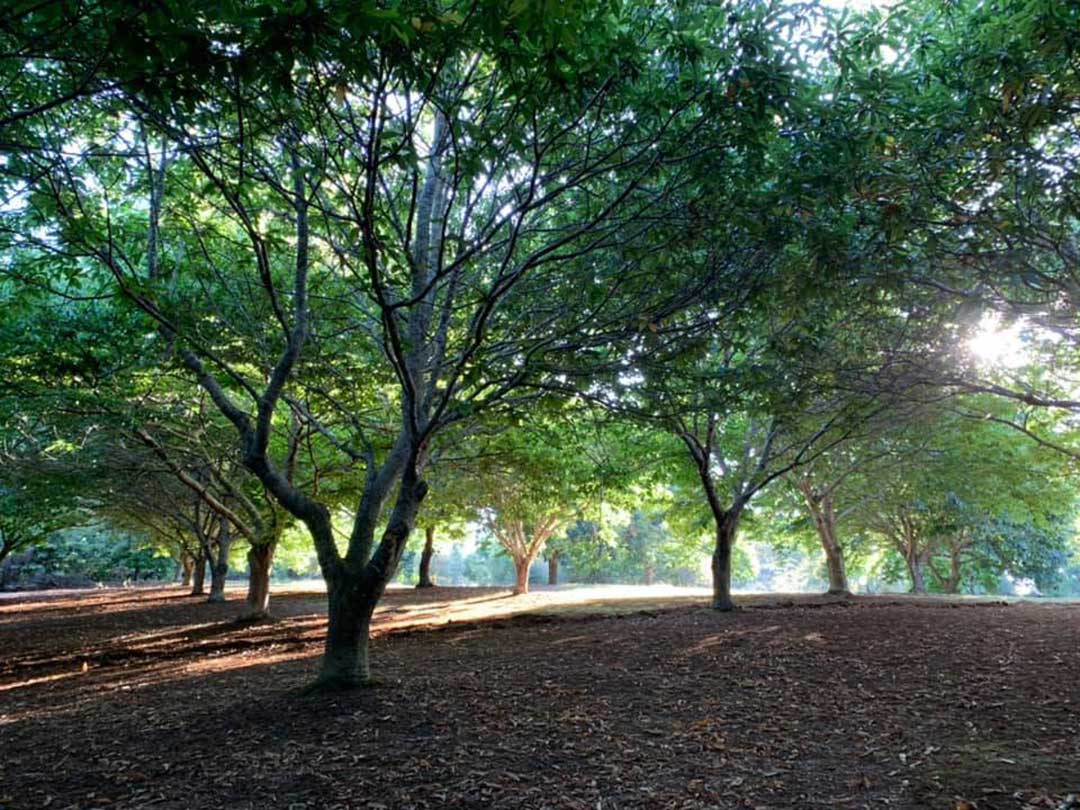
Preolenna Forest Farm
Preolenna Forest Farm produces quality Tasmanian grown chestnuts. Established by Colleen and Daryl Dibley in the early 1990’s the property consists of over 300 chestnut and 300 hazelnut trees and retains over half its area as native wet eucalypt forest habitat. Preolenna Forest Farm has been declared a Land for Wildlife property under the Tasmanian Government’s Bushcare programme.
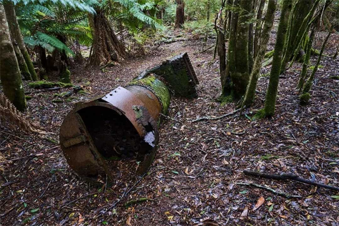
On our way into Preolenna we saw a turn-off marked 'Coal Mine Road' and decided to take it. I had hoped to see the remains of the coal mine and perhaps some evidence of the railway line that by now would have been swallowed up by the bush, and this road sign gave me hope that it was a possibility. Such was not to be, however; the road turned into a logging track marked with a “Danger, No Entry” sign so we turned around and re-traced our steps.
I found out later that the site of the mine is beyond the end of Coal Mine Road and through the bush somewhere near the upper reaches of the Flowerdale River. Some bushwalkers who had also gone looking for it found the remains of mining equipment, which led them to the mine head close to the Flowerdale River.
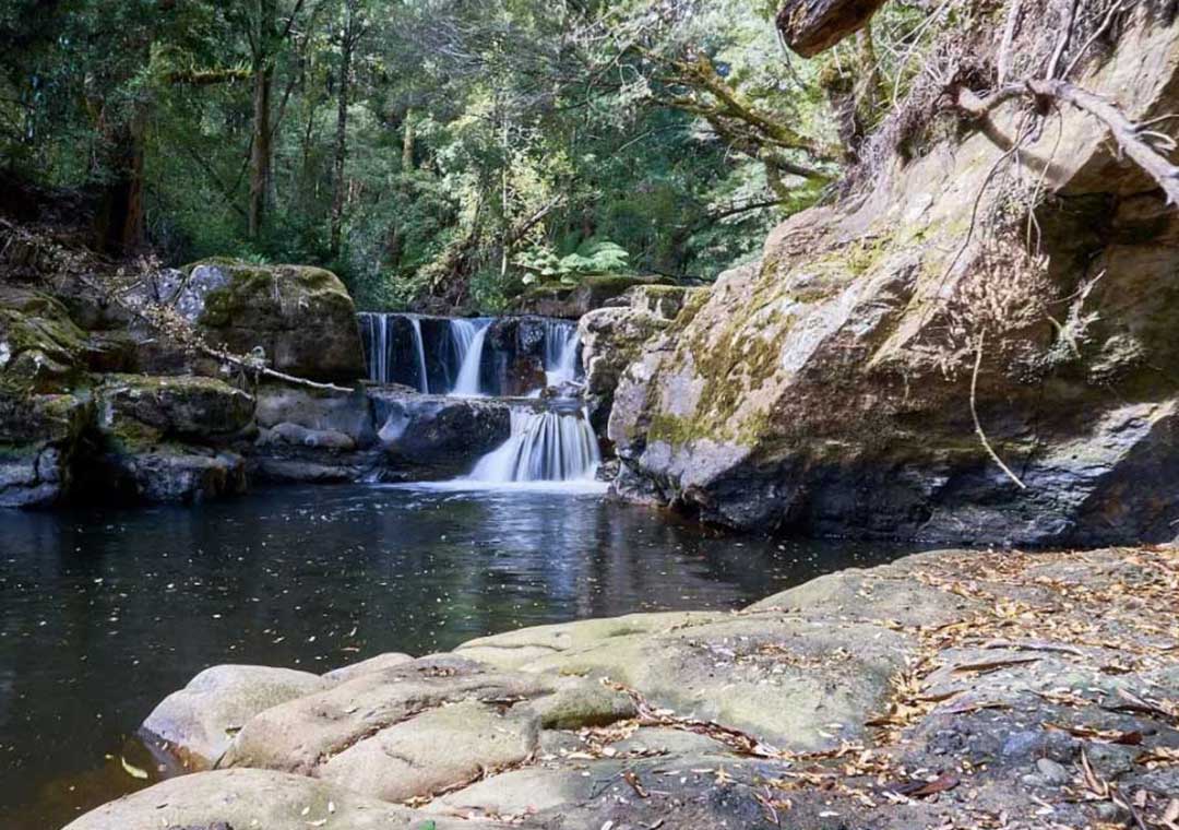
The Flowerfale River tumbling over a waterfall.
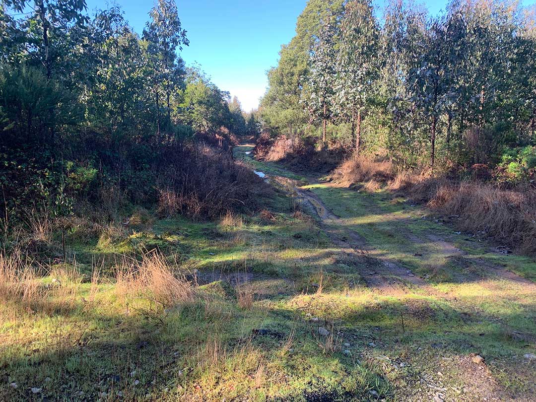
Coal Mine Road Walk
As we approached Preolenna, we came across a somewhat overgrown but still recognisable corridor through the bush, along which the railway had once travelled on its way to the mine. It was rewarding to have found at least one piece of evidence of Preolenna's mining past and of the railway that had been the lifeline to the miners and the community.
About the Preolenna railway line
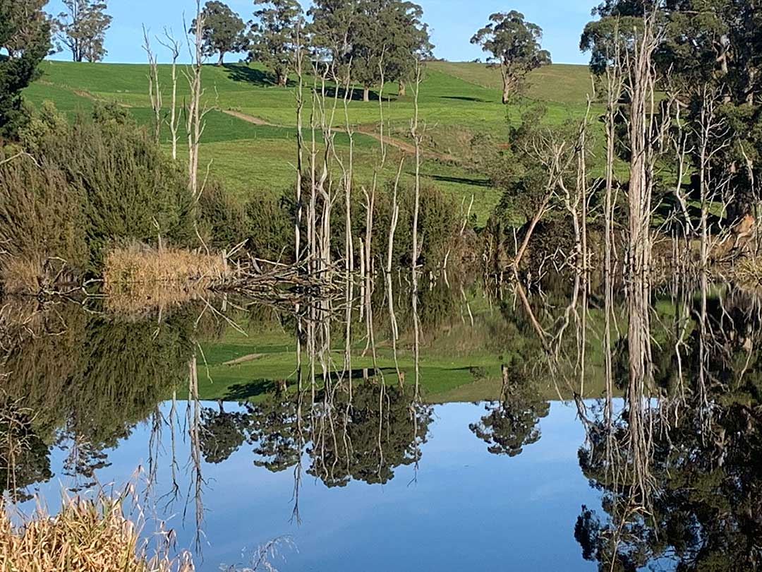
On the way up we’d seen a sign for The Lobster Ponds Haven and made a point of calling in for lunch and a look around. The Lobster Ponds Haven offers a unique experience to view and learn about the Giant Freshwater Crayfish (Astacopsis gouldi). Exclusive to Northern Tasmania, these extraordinary creatures are the largest crustacean in the world but are under threat by poaching and land clearing.
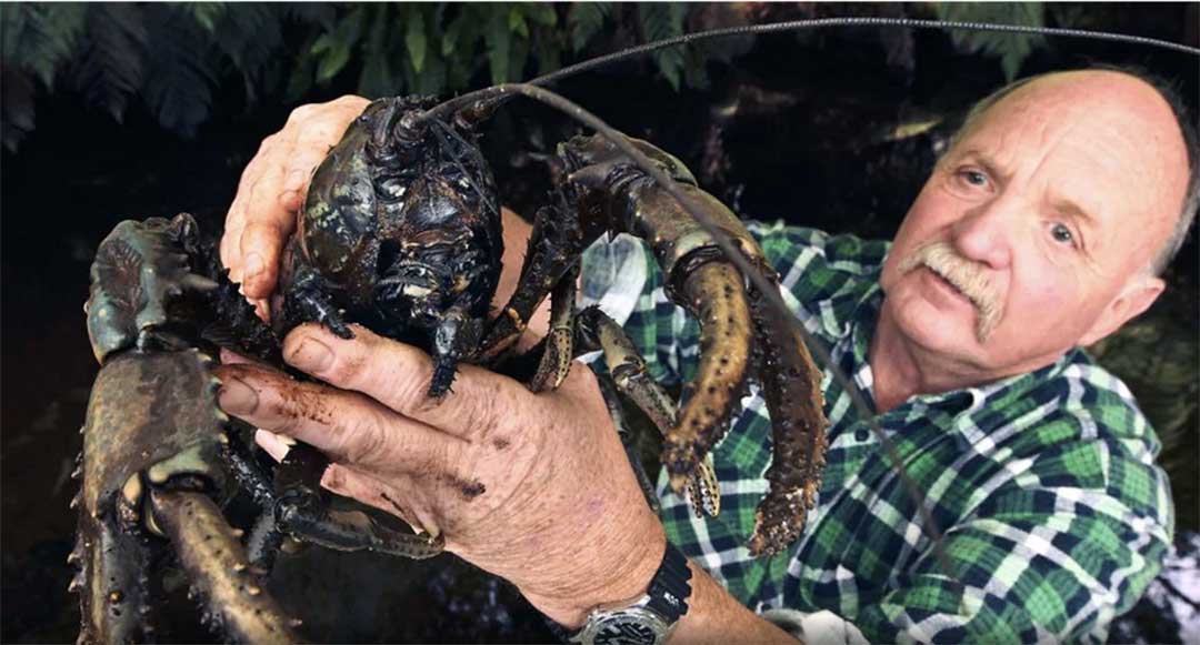
Manager Kevin Hyland with a Giant Freshwater Crayfish
Lobster Ponds has a number of indoor tanks where young crayfish can be seen up close, as well as outdoor pools in a pleasant shaded natural setting. A new aviary to house some extremely rare local parrots is well under way and their inclusion will add to its attractiveness as a nature and conservation reserve. The Lobster Ponds Haven also has a cafe and souvenir shop.
Lobster Ponds Haven Facebook page
Preolenna lies 24 kms to the south of Wynyard in north-west Tasmania. It is a fertile valley bounded by the Inglis, Jessie, Flowerdale and Arthur Rivers. Henry Hellyer traversed the area on his expedition of 1827. The presence of coal in the Jessie Gorge area and some 5000 acres of "first class milling" timber and "first class basaltic soils" (Loftus Hills, Government Surveyor, 1913) attracted the interest of miners, settlers and the government. The first grants of land were settled by the Byard family in 1910.
1911 saw activity in coal mining and in 1917 the tramway was constructed from Flowerdale to Preolenna and later, in 1924, extended to Meunna. From 1910 dairying, timber-getting and vegetable cropping developed. A school was established in 1919 - the school building on the present site opening in 1921. The community in the 1920's consisted of some 15 families. The rail line was abandoned in 1931, coal from the area had proving to lack sufficient quality for viable use. Hydro electricity was extended to Preolenna in 1950.
The Rural Youth organisation commenced in Australia in 1932 when the headmaster of Preolenna School, Mr Don Bennett, initiated the Preolenna Calf Club. By November that year the club had 13 members and field days and a Calf Club parade were held. With the influence of Mr Bennett, agriculture became a prime interest for boys in the district. In the following years Mr Bennett made weekly inspections of club heifers, often walking up to 12 kms to do so. From 1938 Junior Farmers' Shows were held annually and the Rural Youth movement extended far beyond the Preolenna Valley.
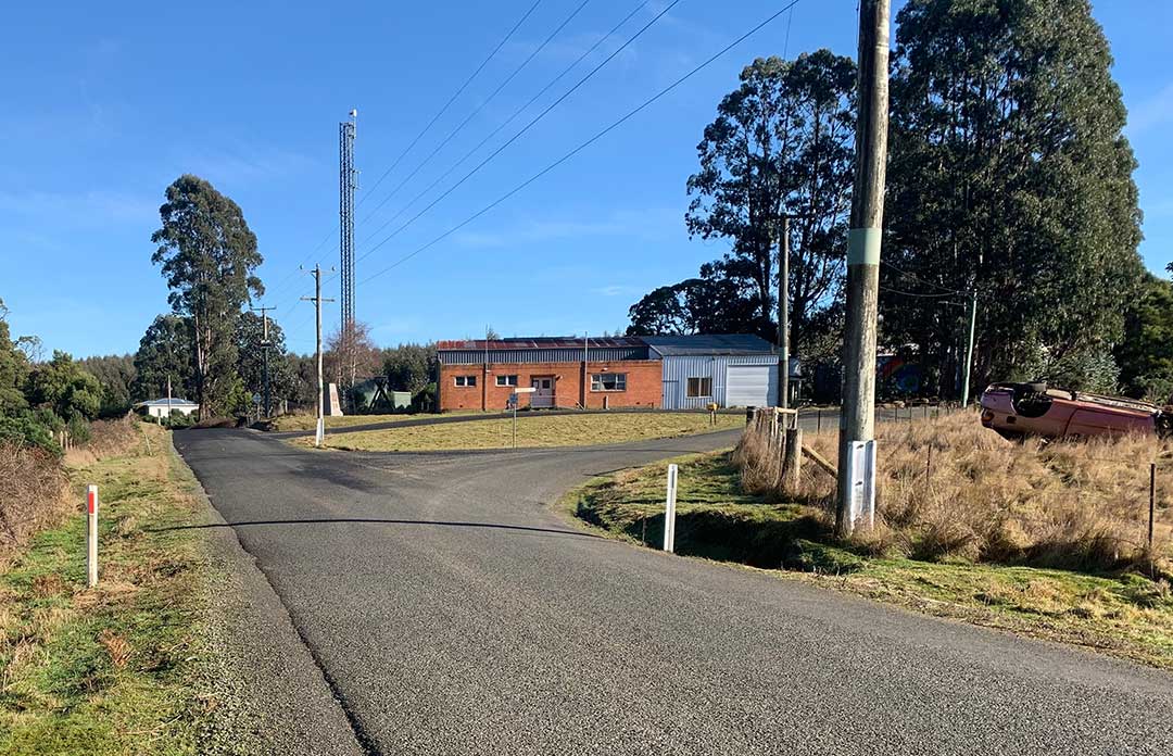
Preolenna townsite
Although the tramway and services such as the Post Office and two stores are no longer available, and the school was closed by the government at the end of 1993, the community maintains the hall and the volunteer fire brigade and holds a number of functions throughout the year. The war memorial records that 20 men served in the forces in World War II - four were killed in action.
Of special interest is the fact that Preolenna as a community has developed within living memory, its agricultural roots established in the first four decades of the 20th century. The themes of a changing agricultural landscape, the soldier settlement, the origins of the Rural Youth movement and a well documented history of education are features of the area's history.


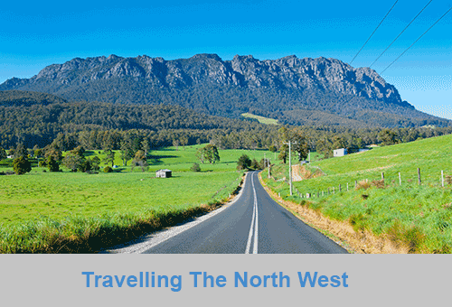
North West Coast
The North West coast extends from Burnie all the way west to Cape Grim, Tasmania's rugged north-west corner. Along the way are the beachside towns and villages of Wynyard, Boat Harbour Beach, Stanley and Smithton, as well as the rugged volcanic headlands od The Nut (Circular Head), Rocky Cape and Table Cape.
Full Itinerary


Central Coast
The first European settlement of Tasmania's Central Coast commenced in the 1840s, the rich basalt soil proved ideal for cropping, and today agriculture is the principal contributor to the area’s economy. Motorists travelling along the north-west of Tasmania are well served by the National Highway. Central Coast, however, is fortunate to have retained a small section of ‘old highway’. This scenic coastal detour hugs the headlands and sandy shores from Ulverstone through to Howth and is well worth the extra time taken to travel this scenic route.
Full Itinerary

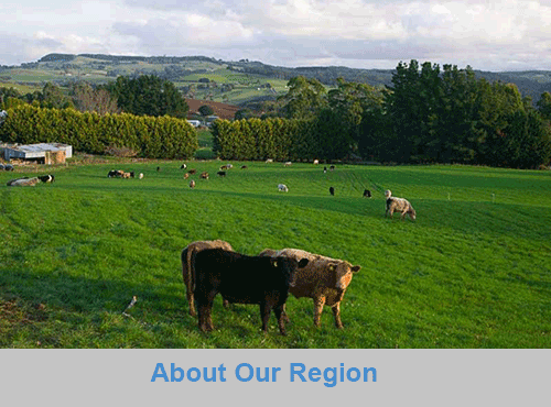
Central Hinterland
Boasting rolling farmland, the hinterland of Tasmania's central coast is home to some of the region's finest agriculture and local produce, its narrow roads making their way through lush farmlands on their way to the alpine terrain of Cradle Mountain. The area is world-renowned for its bush-walking, mountain ranges and canyons, and laid-back small towns set againt mountainous backdrops.
Full Itinerary

North West Hinterland
The area is dominated by the Tarkine, a wilderness area containing a wildly diverse landscape, a world of natural treasures including Australia's largest patch of temperate rainforest, mountain ranges, wild river and cave systems and buttongrass moorlands. Waterways can be explored by canoe, kayak and riverboat cruises through forests of blackwood, myrtle and celery top pine all the way to the sea.
Full Itinerary

Meander Valley
Set against the backdrop of the Great Western Tiers, the Mradner Valley is located at the western end of the Central Coasy Hinterland, located midway between Launceston and Devonport. Dotted among the farms of the area are numerous small towns, each with their own individual character and colonial-era charm. Deloraine, on the banks of the Meander River, has become a centre for artists and craftspeople, drawn by the lifestyle and inspired by the stunning scenery.
Full Itinerary

West Coast
2 to 3 hours drive from Devonport and Burnie, Tasmania's West Coast region is made up of serene natural harbours, rugged coast, densely forested mountain ranges, fast flowing rivers, steep gorges, rainforest wilderness and ghost towns. The region has some of the most pristine and beautiful wilderness in the world, encapsulated in the World Heritage listed Franklin-Gordon Wild Rivers National Park. Bushwalkers are rewarded by spectacular nature sights. Even the less energetic can enjoy the untouched rainforests while cruising the Gordon and Pieman Rivers.
Full Itinerary
The North West region of Tasmania covers a vast area including the towns of Devonport, Burnie, Cradle Mountain National Park and the Tasmanian west coast as far south as Strahan and Queenstown. The gateway to this region is Devonport, with an airport and the Spirit of Tasmania (ferry between Victoria and Tasmania) terminus. The port handles much of the export produce from the rich agricultural areas around Devonport. The town itself is used as an arrival or departure port for most travellers rather than a destination itself.
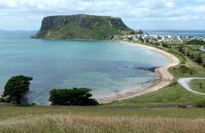
A major farming area stretches from Devonport along the coast to Stanley. Many of Australia's finest vegetable and dairy produce come from this region. Stanley is an historic fishing village with a large volcanic headland - The Nut - accessible by chairlift. Far out to the north-west in the stormy waters of Bass Strait, King Island consists very much of uninhabited bushland teeming with wildlife. The island produces some of the best dairy products, for which it is famous.
Cradle Mountain-Lake St Clair National Park, in Tasmania's World Heritage Wilderness Area, offers a rugged environment with many wilderness retreats and walking tracks. Icy streams, ancient pines, glacial lakes and wildlife surround the jagged contours of Cradle Mountain. The area is one of the most glaciated in Australia and includes Tasmania's highest mountain, Mt Ossa (1617 metres) and Lake St Clair, Australia's deepest natural freshwater lake, the source of the River Derwent.
The West Coast area of Tasmania is made up of rugged coast, mountain ranges, flowing rivers, steep gorges, rainforest wilderness and ghost towns. Strahan is situated on Macquarie Harbour and is the starting point for Gordon River cruises and air tours over the South West Wilderness. Strahan is the only town on this rugged and dangerous coast.