

Regional Walks
North West Tasmania is a walker's paradise. The coastline offers plenty of opportunities to stretch your legs and explore. The hinterland has mountain peaks and canyons; the Bass Strait shoreline was created by ancient volcanic activity, leaving behind a dramatic coastline that begs to be explored and appreciated.
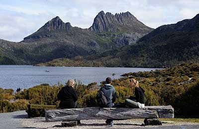
Dove Lake
Cradle Mountain National Park2-3 hour circuit
A great introductory walk to the park. Enjoy iconic views of Cradle Mountain on one of Tasmania's most premier short walks.
More

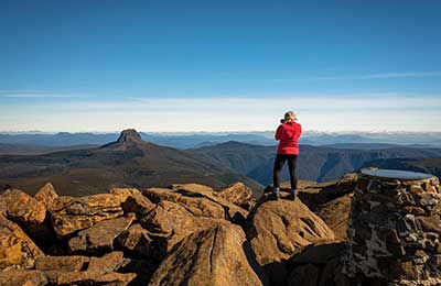
Cradle Summit
Cradle Mountain National Park8 hours return
A challenging track to the summit of Cradle Mountain. 600 metre climb in elevation. Walk includes crossing wide rocks.
More

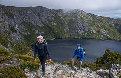
Crater Lake
Cradle Mountain National Park2 hour circuit
Explore a series of delightfully different alpine lakes. Some bushwalking experience recommended. Tracks has a rough surface.
More

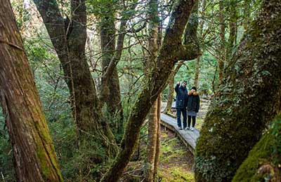
Enchanted Walk
Cradle Mountain National Park20 minute circuit
A walk to suit all age groups - featuring a cascading river and magic old-growth rainforest.
More

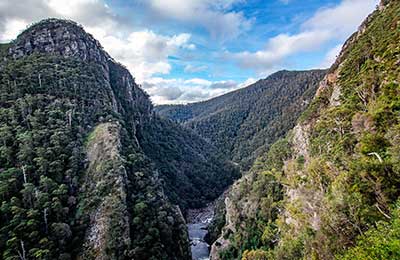
Leven Canyon
Nietta45 minutes
It is rare in the world to find such a powerful place as the Leven Canyon that is so easy to access. Enjoy spectacular sweeping views.
More

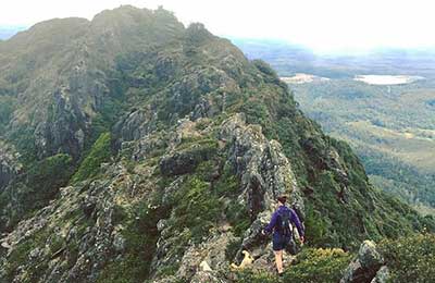
St Valentine's Peak
Burnie4 hours return
It a good strenuous walk to the summit of St Valentine's Peak, but well worth the effort. The track is quite steep in places.
More

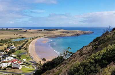
The Nut Walk
Stanley45 minutes return
The Nut is a 143 metre high massif, rising from Bass Strait that towers over the town of Stanley. Walk to the top or take the chairlift.
More

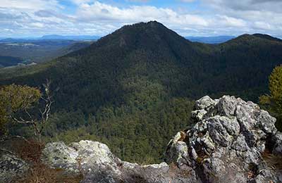
Mount Gnomon
Penguin1 hr/2 km return
One of several rewarding short walks in the Dial Range, a collection of modest peaks on North-West Coast.
More

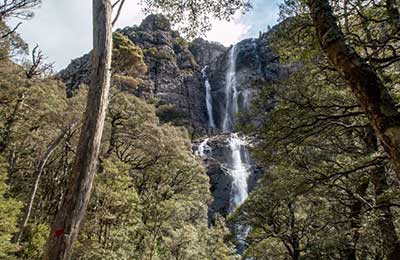
Meander Falls Circuit
Deloraine5-6 hours
One of Tasmania's best set of waterfalls, great walks and photo opportunities. One of the great short-medium bushwalks in Tasmania.
More

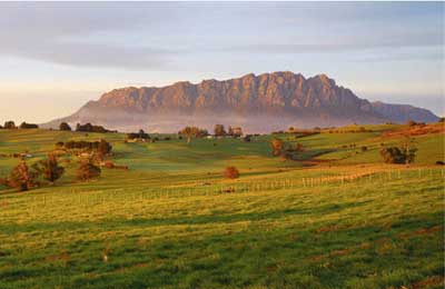
Mt Roland
Sheffield5-6 hours
Located on the edge of the Great Western Tiers region of Tasmania, the walk is easy to follow, with a large portion done across the plateau along to the summit.
More

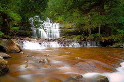
Liffey Falls
Deloraine45 minutes return
Liffey Falls is one of Tasmania's prettiest waterfalls, is located in cool temperate rainforest featuring myrtle, sassafras and leatherwood near Mole Creek.
More

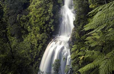
Philosophers Falls
Waratah1 hour return
An easy, magical walk through a rainforest with plenty of photo opportunities. There are about 200 stairs to the viewing platform. A hidden jewel of The Tarkine.
More

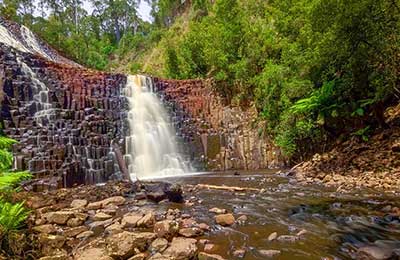
Dip Falls
Mawbanna30 minutes
Four short walks lead to the base of these picturesque falls, its viewing platform, an old sawmill boiler and the nearby “Big Tree”.
More

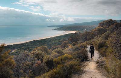
Archer's Knob
Port Sorell3.5 hours circuit
See some of the best views in Narawrntapu National Park from the supberb Archer's Knob lookout - birds, beach and paperbark swamp.
More

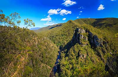
Alum Cliffs
Great Western Tiers50 minutes return
Enjoy a quiet country stroll to a forest lookout perched high above the Mersey River, as it flows beneath the Alum Cliffs.
More

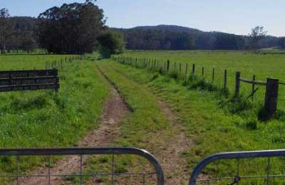
Railton to Sheffield Rail Trail
Sheffield12 km/ 3 hrs
The Railton to Sheffield Rail Trail is a 12km, grade 3 One Way hike. This trail traverses a variety of countryside, mainly off road, following the old railway corridor.
More

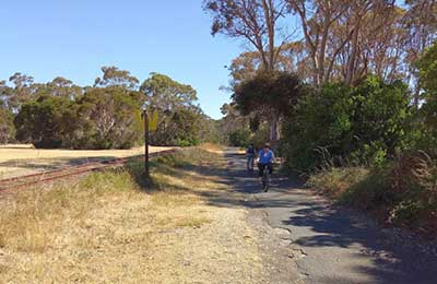
Don to Devonport Cycleway
Devonport7.5 km
See some of the nicest parts of Devonport by walking or cycling the rail trail. Parts of the trail run parallel with the railway to Burnie and the Don River tourist railway.
More

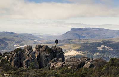
Quamby Bluff Summit Track
Deloraine5 hrs return
A steep walk that is rewarded with 360 degree panoramic views across the Great Western Tiers, as far as Launceston and Devonport on a clear day. Medium difficulty.
More

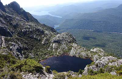
Mt Murchison Summit Track
Rosebery/Tullah12 km/ 3 hrs
A hard walk with some scrambling over rocks but is worth all the effort! The Mountain has three lakes on it including Hanging Lake which looks almost like an infinity swimming pool.
More

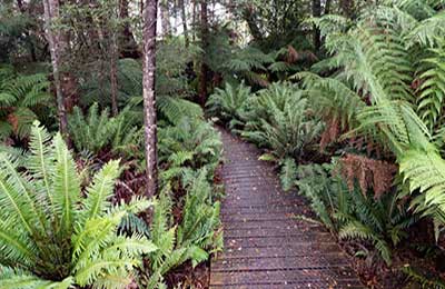
Milkshake Hills Summit Walk
Smithton1 hour return
Branching off the 15 minute return rainforest walk, the summit walk traverses a short section of the rainforest before it begins its ascent towards the summit.
More

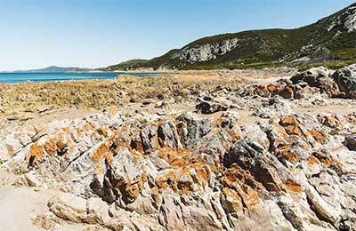
Postmans Track, Rocky Cape NP
Sisters Beach30 mins return
Named after the route used for horseback postal deliveries early this century, this track circles the easternmost section of Rocky Cape National Park, near Sisters Beach.
More

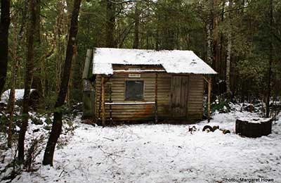
Parsons Track
Mole Creek6 hr return
A walk to the sandstone rock visible near the top of the Great Western Tiers, looking south from Mole Creek village. Shorter walks access signposted landmarks along the Track.
More

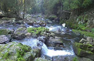
Lobster Falls
Mole Creek2 hour return
A walk through regrowth forest and a fine grove of Banksias to Lobster Falls lower cascade. The track follows a high route before dropping down steeply to the river bank.
More

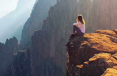
Devil's Gullet
Mole Creek30 mins return
A short alpine walk leads to a stunning lookout platform overhanging the huge chasm of the Fisher River valley. Enjoy views to Mount Ossa, Cradle Mountain on a clear day.
More


Hellyer Gorge Rainforest Walk
Hellyear Gorge, near Waratah20 mins return
A delightful wayside stop on the Murchison Highway, the steep, winding gorge of the Hellyer River is filled with rainforest of tall myrtle beech, encrusted with mosses, fungi and epiphyte orchids. A number of walking tracks along the banks of the Hellyer River (near the rest area) provide a pleasant walk to refresh before journeying on.
More
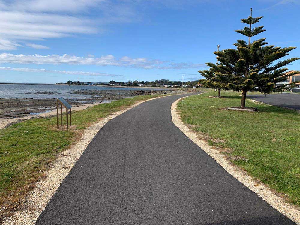
Coastal Pathway
Covering approximately 85km, this continuous shared pathway (walking and cycling), once complete, will connect more than 85,000 residents between Wynyard and Latrobe. In addition to the continuous length there will be approximately 24km of additional shorter connecting links.
Completed sections:
Devonport centre
Short Street, Leith to Don Rail Bridge, Devonport
Maskells Road, Turners Beach to Robertsons Road, West Ulverstone
Hogarth Road, Sulphur Creek to Seaside Crescent, Penguin
Wivenhoe to Cooee

