

Stowport, Tasmania

The rural residential locality of Stowport is about 11 kilometres south-east of the town of Burnie along Stowport Road. While there is some residential allotments the area is mainly agricultural farming land. One of its historical farms was called "Karingal" c. 1910. Chasm Creek runs down through the property. Glance Creek Estate, a winery established in 2011, is located in Stowport. It produces grapes and various fruit wines including myrtus and blueberry.

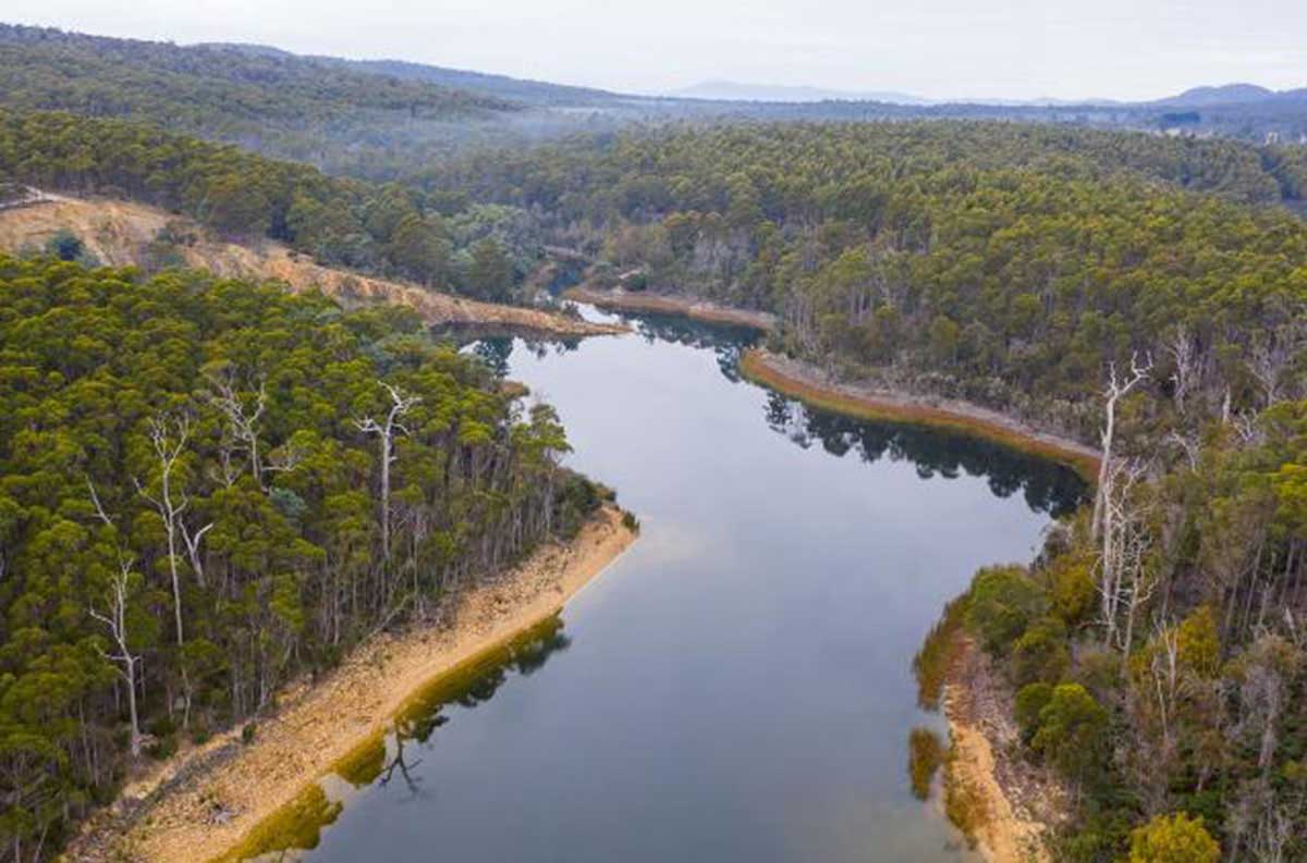
The perennial Blythe River forms the eastern boundary, and Emu River forms the western. Blythe River rises near Rabbit Plain on the slopes of Mount Tor (west of Loongana) and flows generally north through Natone and Stowport before entering Emu Bay in Bass Strait, at Heybridge, near Burnie. The river descends 685 metres over its 61-kilometre course. The river was named after Blyth in England, it being an old seaport and market town on the south side of the River Blyth in Norumberland. Van Diemen's Land Company' surveyor, Henry Hellyer, recorded the name on his 1828 map of the North West that documented his exploration of the area in 1827.
The name "Stowport" was first used for the secular Parish of Stowport in 1856. The township of Stowport was established circa 1900. The name appears to be a corruption of Stew Pot by which name the first mud track was known. It was originally called Stoney's Road because it led to parts of Capt. H Buller Stoney's planned war service settlement scheme at, and south of Wivenhoe. The scheme was abandoned when the Crimea War broke out.
Stoney's Road went from the first crossing of the Emu River, along present day River Road, then up over the hill behind Ormsby Street and into what is now Upper Stowport Road. It gave a shocking grade and was terribly muddy for bullock carts - so much so that it gained the name 'Stew pot' Road, which was corrupted to Stowport, the name eventually given to the district it served. The present road which replaced it went through in the 1890s. The name was gazetted in 1966, and confirmed in 1967.

Walking Trails
Stowport has two easy hiking trails, both being chuldren-friendly, and perfect for a family trip. Fern Glade Loop is a 1.8 km track which tskes an estimated 25 minutes to walk. Fern Glade Emu River track is a 5.3-km out-and-back trail, generally considered an easy route. It takes an average of 1 h 40 min to complete. This trail is great for hiking, running, and walking, and it's unlikely you'll encounter many other people while exploring.
More

Cuprona King Mine
Driving along Stowport Road from Burnie, on the left you will pass a road end with a name that often catches the attention of those with a nose for interesting historical sites - Iron Mine Road. Yes, there was some iron ore mining activity on the western bank of Blythe River in the early 1900s in the wake of Government geologist W.H. Twelvetrees surveying what became known as the Blythe iron ore and copper deposits. He estimated the size of the iron ore deposits at between 17-million and 23-million tons. But boom times were not to be. The miners sank and drove, but the main body of ore they expected to find was not there. It had been only a surface phenomenon after all.
Not far away on the other side of Blythe River was the Copper King Mine. Copper was found there in 1904, and the sleepy ettlement of Ellenton nearby soon exploded into a lively mining settlement. By 1907 the district's name was changed from Ellenton to Cuprona which was derived from the chemical symbol for copper, Cu. The mine employed about 300 men and copper was transported to Burnie for export. With a mining slump in 1907, Copper King struggled to survive. By 1910, the mine had been abandoned. Most of the mining families left Cuprona, a few stayed on to become farmers. One miner, William Robert Appleby, went farming at Upper Natone and was living there with his father when the 1915 bush fires swept through that area. All their valuable possessions were put down the well and were saved from being burnt. William and his father became champion ploughmen who in later years judged at the Ploughing championships.
After the mine closed, the town's buildings gradually disappeared one by one. Legend has it that, while trying to offload the Ellenton Hotel, its owner paid people a Pound note to drink at the bar while a potential buyer was being shown around. The buyer suspected something was wrong and declined. He eventually moved parts of the hotel to Burnie and built two shops there from it.

Chasm Creek at Stowport today
Chasm Creek Copper Mine
In the early 1990s, brothers Thomas Stewart and William Rutherford prospected a section of their private property on the Chasm Creek Road. Upon discovering copper indications, they sank a prospecting shaft, and opened out at 20ft. on the side of a large gossan blow. After spending about £000 of their own money in prospecting, the Rutherford Prospecting Syndicate was formed, and, an extra section secured under mineral lease, tacked on to the private property, gave the syndicate an acreage of 90 acres. The shaft was continued down to 32ft., where they opened out and cut the lode 12ft. from the shaft. It is said the lode at this level was 8ft. wide, and assayed as high as 17 per cent. copper.
This drive was continued but had to be abandoned owing to the in-rush of water, which their pumping machinery was quite inadequate to cope with. Operations were confined to the 20ft level, where the drive was 120ft., following a seam or band of sulilhide ore, running through the country. This seam also contained black oxide of copper and native copper. At a distance of 75ft. this drive has been cross cut east. This is also in lode material, and an assay shows a value of 15 per cent. The bulk sample, however, sent to Mount Lyell smelters and the Dapto Smelting Company gave about half that percentage, but none of the ore sent away was taken front this crosscut.
Adjoining the Rutherford site on the northern boundary was a section of 40 acres held under mineral lease, and known as the Eclipse. A prospecting shaft was put down to a depth of 25ft., where a drive through gossan and felspathic rock, revealing green carbonate of copper and native copper. Sadly, this, the Rutherford Mine and others in the area failed to live up to expectations, and mining activity tapered out after the mining slump of 1907. The abandoned Rutherford Copper Mine is located on Chasm Creek.
A PocketOz Travel and Information Guide
Design and concept © Stephen Yarrow | Email | W3Layouts | Test