
Waterfalls of North West Tasmania
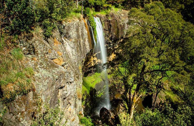
The mountains beyond the Cradle Coast offer some of the richest natural experiences for you to enjoy, many of which are stunning waterfalls embedded in magnificent rainforests and national parks.

The Falls are a 10 minute walk from the Forest Education Centre just off the Mersey Forest Road, south of Lake Parangana.
Location: via Arm River Track off Maggs Road, which provides access to Mt. Pillinger and Lake Ayr on the Overland Track.
More
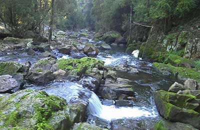
Lobster, Montana and Westmoreland Falls are all in the Mole Creek
limestone cave area on the Mersey River. Several waterfalls and pools
are enclosed by 100 metre cliffs. Spot the freshwater lobster.
Location: Westmoreland Track off Wet Caves Road near Mole Creek.
More
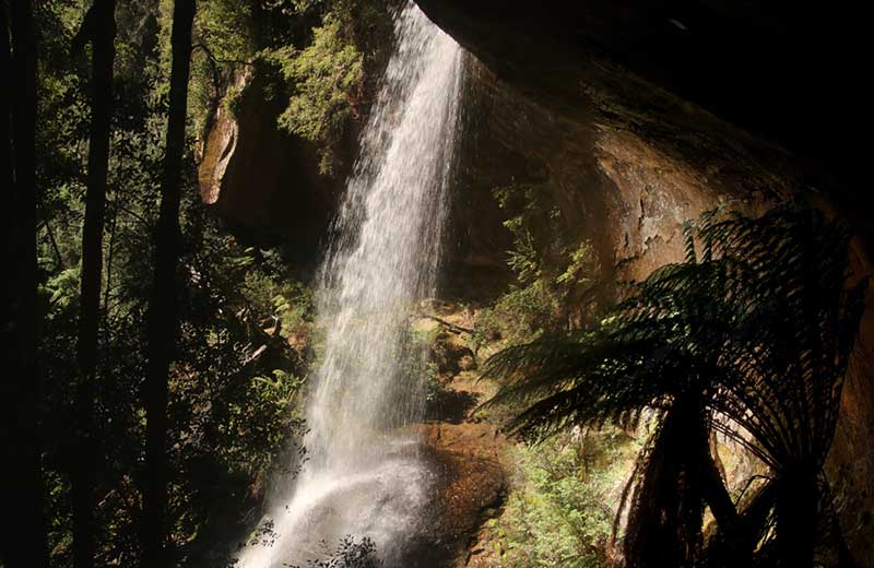
The Split Rock track commences at the Meander Falls car park. There
is a suspension bridge across the Meander River, a hundred metres from
the car park. From here, a very steep track leads up to Split Rock,
about a 45 minute walk. At Split Rock a track branches to the left to
Shower Cave Falls and Split Rock Falls.
Location: Meander Falls Road, Meander, south of Deloraine.
More
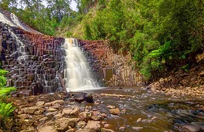
Unusual falls where 152 steep steps descend to the bottom of the
cubic-basalt formed falls. These falls are very picturesque,
particularly during the winter months. The track to the accessible
viewing platform is beyond the falls.
Location: 10kms east of the Stanley turn off, head south to the Dip River Forest reserve.
More
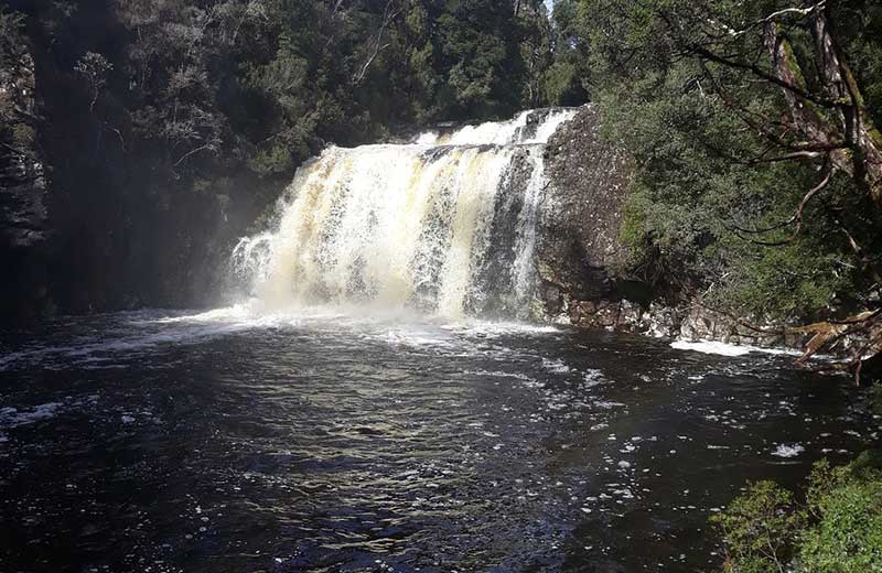
Pencil Pine is a very attractive falls, a mere 100 metres
downstream from the bridge, at the entrance to the Cradle Mountain
National Park. Further down Pencil Pine Creek, is Knyvet Falls, a small
fall of possibly 5 metres or less. A short stroll of about 30 minutes
return, can take in both falls. Just follow the nature track.
Location: off Cradle Mountain Development Road, Middlesex, Tas.
More
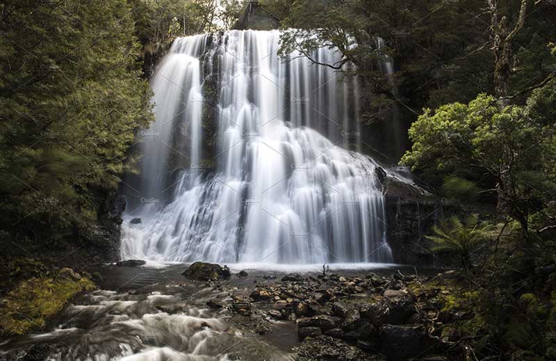
These falls are one of two lovely waterfalls at Moina, near
Cradle Valley. The falls tumble 15-20m into Bulls Creek and when flowing
well, look like a rectangular curtain of water. In lower flows, the
wall of water becomes columnar strands draping the underlying rock wall.
Combining this waterfall with Champagne Falls, below, makes for an
excellent half day walk.
Location: near Lemonthyme Lodge Wilderness Retreat at Moina, near Cradle
Valley section of Cradle Mountain Lake St Clair National Park, Tas.
More
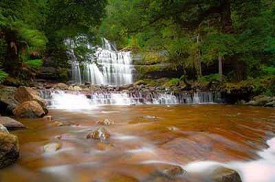
Access is down a steep narrow road to a large, secluded picnic
area with information booth, picnic shelters, gas barbecues and disabled
access toilets. The 40 minute return walk through wet eucalypt forest
and tall ferns has viewing points for the upper falls and cascades. A
steep descent allows access to the base of the Western Tiers' most well
known and majestic falls.
Location: off the Lake Highway along Riversdale Road
More
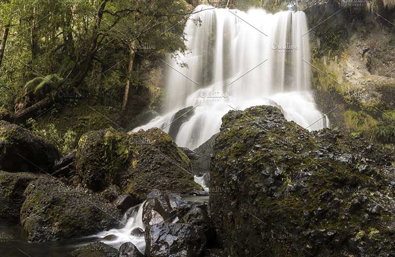
Take the track past the manager's residence of Lemonthyme
Lodge Wilderness Retreat, as previously mentioned, for Bridal Veil
Falls, and follow the signs to Champagne Falls. The 15m high falls are
in a shady area of Bulls Creek. Allow 3 hours to comfortably take in
both waterfalls.
Location: near Lemonthyme Lodge Wilderness Retreat at Moina, near Cradle
Valley section of Cradle Mountain Lake St Clair National Park, Tas.
More

Preston Falls is a tall and slender 25m high waterfall which
plunges over an alcove into the shady depths of the gorge. It is a short
walk down steps to the overlooking platform.
Location: 15 minute drive from Ulverstone via Gunns Plains.
More
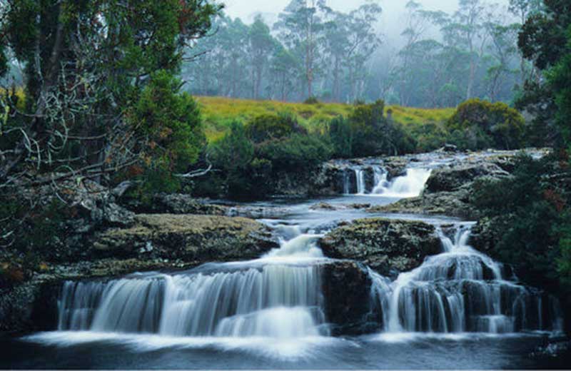
The appropriately named Enchanted Falls is a beautiful little
cascading waterfall, deep in the forest and easily viewed from the
bridge on the walk from the Cradle Mountain National Park.
Location: the walk to the falls starts near the visitor centre just inside the Cradle Mountain National Park, 3km from Wilmot.
More
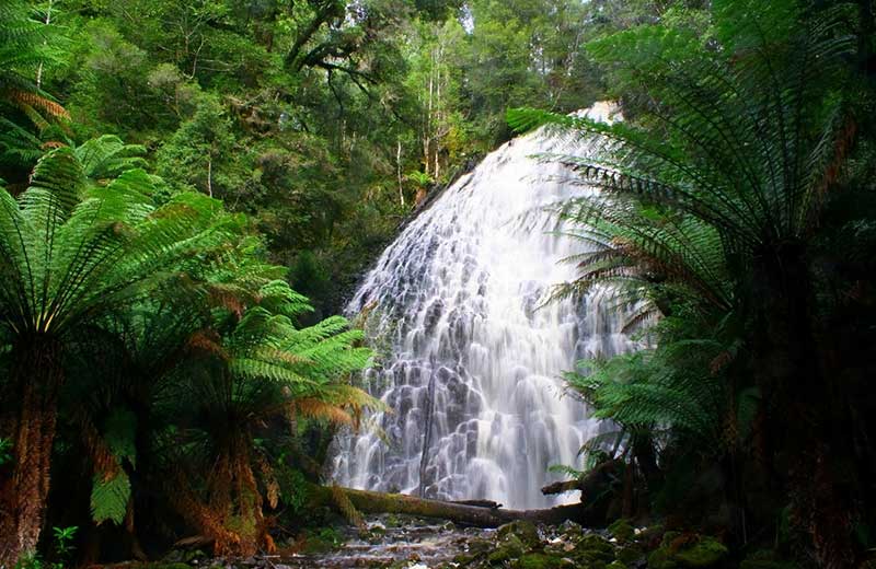
There are several spectacular and little known waterfalls within the
Tarkine rainforests, in the far north west, including Panorama Falls,
McGowan's Falls and the Tarkine Falls. These falls are in remote
locations, we recommend joining an organised tour, accompanied by
experienced guides, to visit them.
More
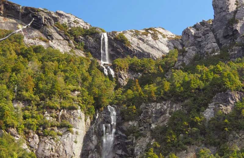
Access is via a 5 to 6 hour walk follows the footsteps of the early
timber fellers. The walk passes through swampy areas and various types
of rainforest, before finally reaching alpine vegetation near the falls,
which can be spectacular in winter.
Location: south of Nietta at the northern end of Black Bluff Range, and close to the Leven Canyon.
More
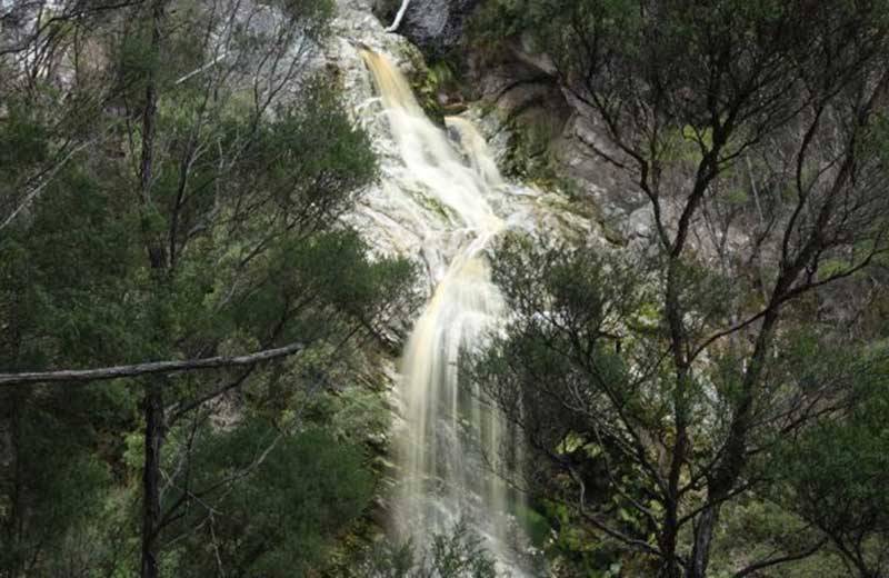
At the end of a 10 minute bushland walk through the Detention Falls
Conservation Area is an excellent viewing platform high above the river.
The picturesque falls are at full capacity in winter.
Location: 9kms south of Sisters Creek on the C229, just beyond Myalla.
More

A 1.2 kms return walk leads to these small but attractive falls. The
falls are sometimes referred to as the Wes Beckett Falls, after a
well-liked, long time chief forester at Smithton.
Location: Wes Beckett Reserve, 61 kms south of Smithton via Mount Bertha Road.
More
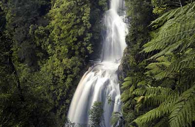
Previously closed to the public, the track has recently been upgraded
and leads to a viewing platform near the falls. Good fitness is
required as the downhill gravel walk takes 40 minutes each way and
descends 240 timber steps. Well worth the effort, it is well signposted
from the turnoff at the road and impossible to become lost.
Location: the upper reaches of the Arthur River, 10km from Waratah.
More
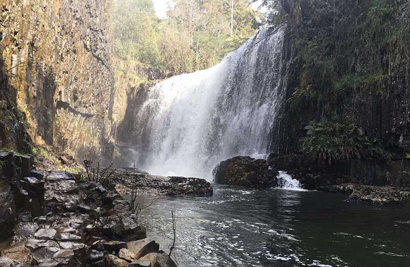
An easy walking track leads from a picnic area just south of Burnie,
near Ridgley, to the base of the two-tiered falls. The road continues to
the top of the falls and the viewing platform. Barbecues with picnic
tables are located at both the top and bottom of the falls. There are
many falls in the Ridgley area and a few kilometres further on, are the
Sanderson Falls and St Georges Falls.
Location: Guide Road, West Ridgley, Tas
More
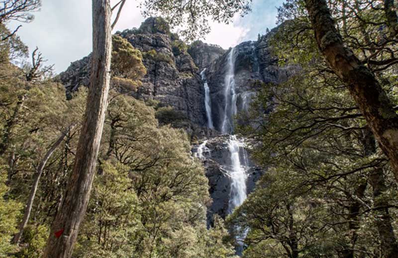
A one hour drive from Launceston or Devonport is the start of
the popular Meander Falls Walk. The falls are in two distinct tiers as
they drop through a rocky chasm. The best time to visit is following
snow or frost in winter, when sections of the falls can freeze and form
large icicles. This 5-6 hour walk is very popular.
Location: off Meander Falls Road, Meander, south of Deloraine, Tas.
More
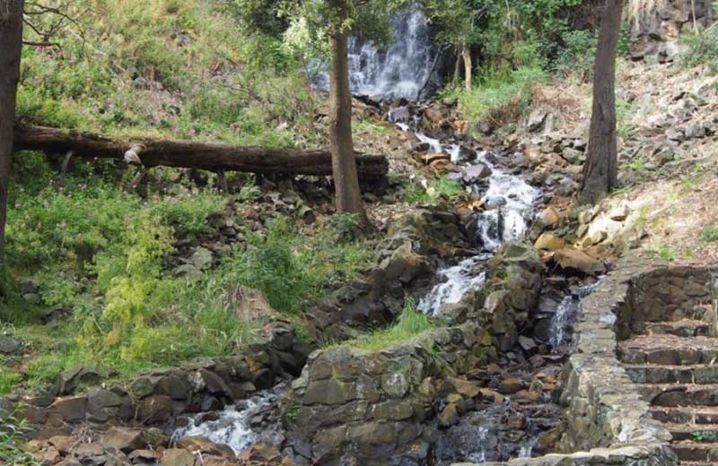
Burnie Park is divided by a natural waterway, which adds
greatly to its ambience. At the higher end of the park, away from Bass
Highway, a walking trail winds its way through a rare stip of natural
rainforest up to where the waterway tumbles over Oldaker Falls.
Location: Burnie Park, Bass Highway, Burnie, Tas.
More

