
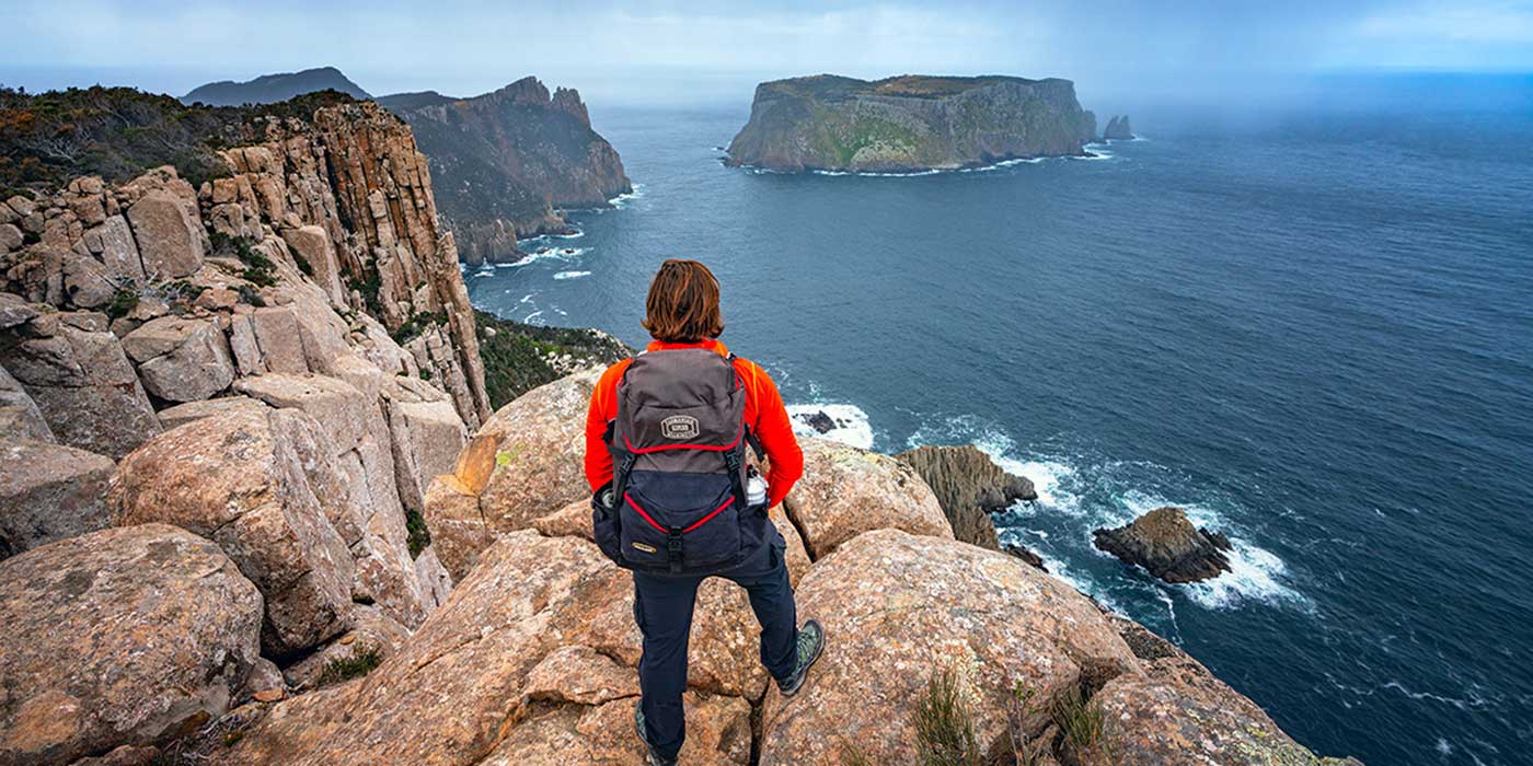

Tasman Peninsula is an extremely scenic part of Tasmania that is dominated by rolling pastures and heavily timbered hills and surrounded by dramatic coastline of sheer cliffs, towering rocky outcrops, sheltered bays and sea caves. Walking tracks and kayaks give access to the area's more isolated corners. And if that isn't enough to entice you to jump on a plane to Tassie and go see it for yourself, there's the added bonus of the peninsula being steeped in Australia's convict history; it contains some of the country's most important convict heritage sites, the jewel in the crown being the Port Athur settlement.


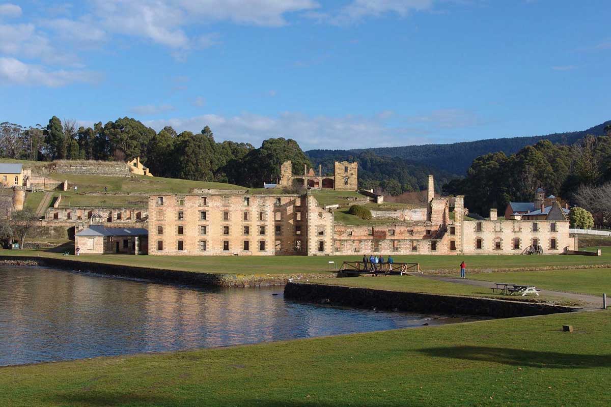
Of all the convict related historic sites around Australia, none so graphically tell the story of Australia's convict past that the ruins of the convict settlement at Port Arthur. The place is a window into modern Australia's beginnings, and paints a vivid picture of the lives and times of those poor wretches who were transported to Australia from Britain to start a new life on the other side of the world.
More

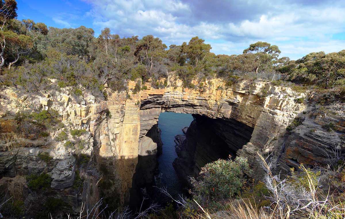
Tasman National Park protects diverse forest and spectacular coastline from Cape Surville to Waterfall Bay and Fortescue Bay; and from Cape Hauy to Cape Pillar and Cape Raoul. The park incorporates several off-shore islands, including Fossil Island, Hippolyte Rocks and Tasman Island. It is an area of great beauty and natural diversity, including some of the most stunning coastal scenery anywhere in Australia. Not suprisingly, the park offers some of the best coastal walks in the country. Many interesting rock formations can be found along the coastline, while the southern end of the park has some of the highest and most spectacular sea cliffs in Australia. The park is also home to a wide range of land and marine animals, and several species of rare plant.
More

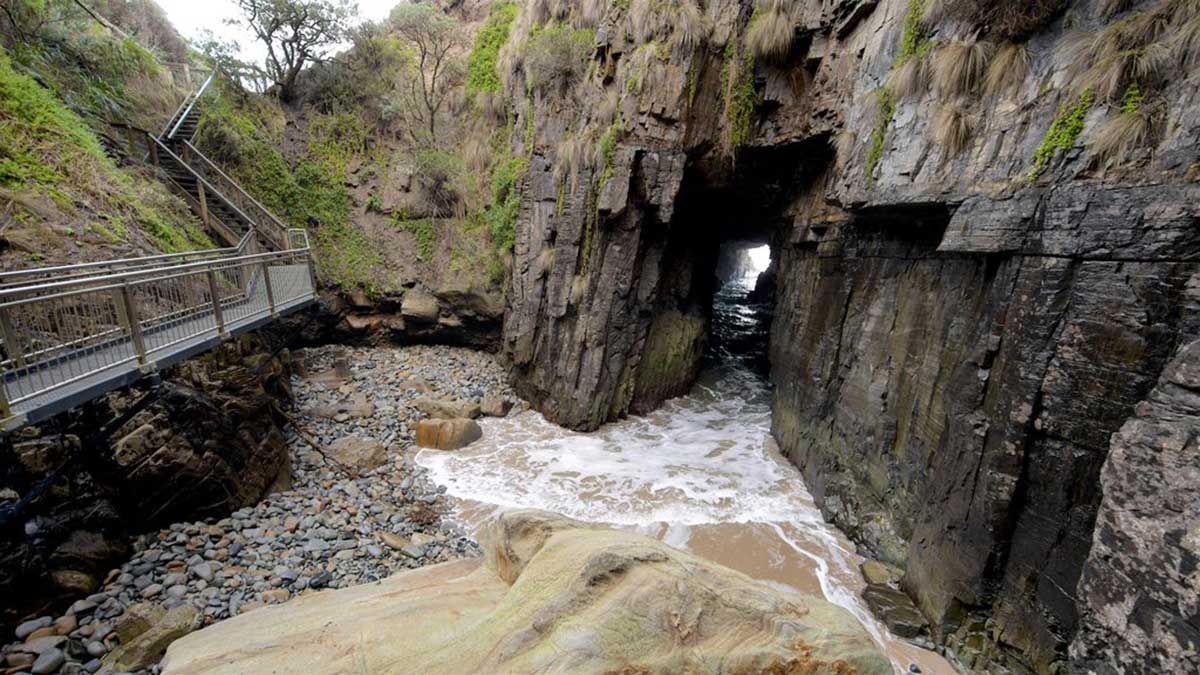
Most people who visit the Port Arthur Historic Site simply head back the way they came when they leave, not realising that there is plenty more to see in and around the peninsula beyond Port Arthur. Turning left upon leaving Port Arthur onto Safety Cove Road, rather than right, leads you to some quite different coastal scenery to that found around Eaglehawk Neck and Pirates Bay. These include some quite unique and amazing rock formations, the most remarkable of them all being the appropriately named Remarkable Cave.
More

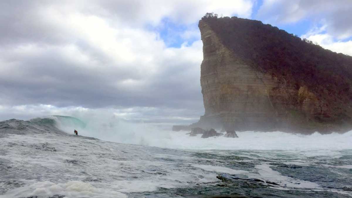
The rugged headland on the Tasman Peninsula known as Shipstrn Bluff is generally accepted as being the most challenging surfing location in Australia. Below the bluff, heaving swells hit a reef head-on, causing a huge body of water to arc up seemingly out of nowhere. In recent years, this churning swell has attracted elite surfers from around the world, dominated the surf media and set the bar for extreme surfing in Australia.
More

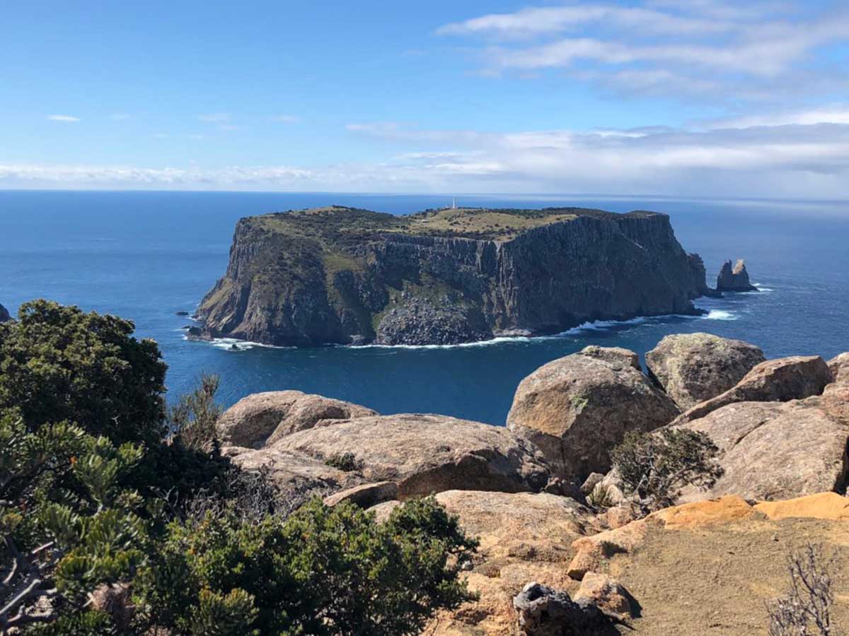
Tasman Island stands defiantly beyond the tip of Cape Pillar, a rugged, desolate and windswept rock; it was named after Dutch seaman Abel Tasman who cautiously skirted its thunderous shores in 1642. Like a fortress, its grey basalt columns rise 240 metres straight out of the sea. Located off the south eastern tip of the Tasman Peninsula, the island stands off-shore from a rugged, awe inspiring corner of Tasman Peninsula. Tasman Island stands defiantly beyond the tip of Cape Pillar, a rugged, desolate and windswept rock; it was named after Dutch seaman Abel Tasman who cautiously skirted its thunderous shores in 1642. Like a fortress, its grey basalt columns rise 240 metres straight out of the sea. Above is a plateau of only 50 hectares, pock-marked with sink holes, caves and small clumps of windswept vegetation.
More

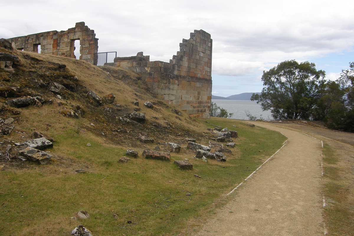
The Saltwater River Coal Mine was Tasmania's first operational mine, established as a much-needed local source of coal, but also as a place of punishment for the worst class of convicts. Along with the nearby Port Arthur Historic Site, the Coal Mines Historic Site is included in the Australian Convict Sites World Heritage listing. At any one time, around 60 convicts were sent to work in the dark, hot damp tunnels of the mine which operated from 1833 to 1848. With its reputation for harshness and homosexual activity which was not always reciprocal, the mine contributed towards the failure of the probation system and its eventual demise.
More

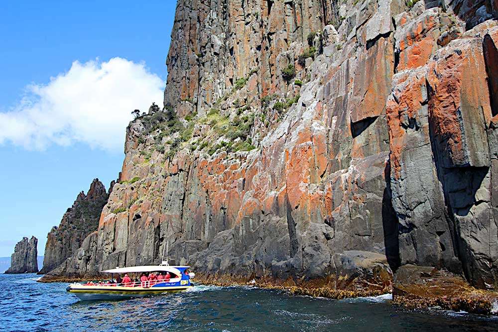
Tasman Island Cruises provides unforgettable wilderness cruises along the spectacular coastline between Port Arthur and Eaglehawk Neck in southern Tasmania. The cruise travels beneath the highest vertical sea cliffs in the Southern Hemisphere at Cape Pillar. Guests explore waterfalls, rock formations, archways and deep-sea caves.
More

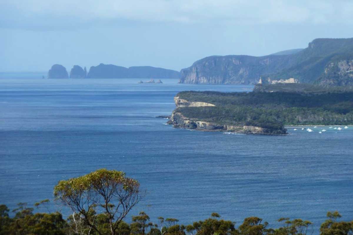
High on the hillsides above the Tesselated Pavement, Tasman National Park Lookout gives panoramic views down the east coast of Tasmania Peninsula with spectacular vistas towards Cape Hauy and Cape Pillar, which are both visible on a clear day. The lookout is on Pirates Bay Drive, the turnoff to the left off Tasman Highway being around 2 km before reaching Eaglehawk Neck when approaching from Dunalley. The lookout can also be accessed from Eaglehawk Neck. Simply take the Scenic drive past the Lufra Hotel.
More

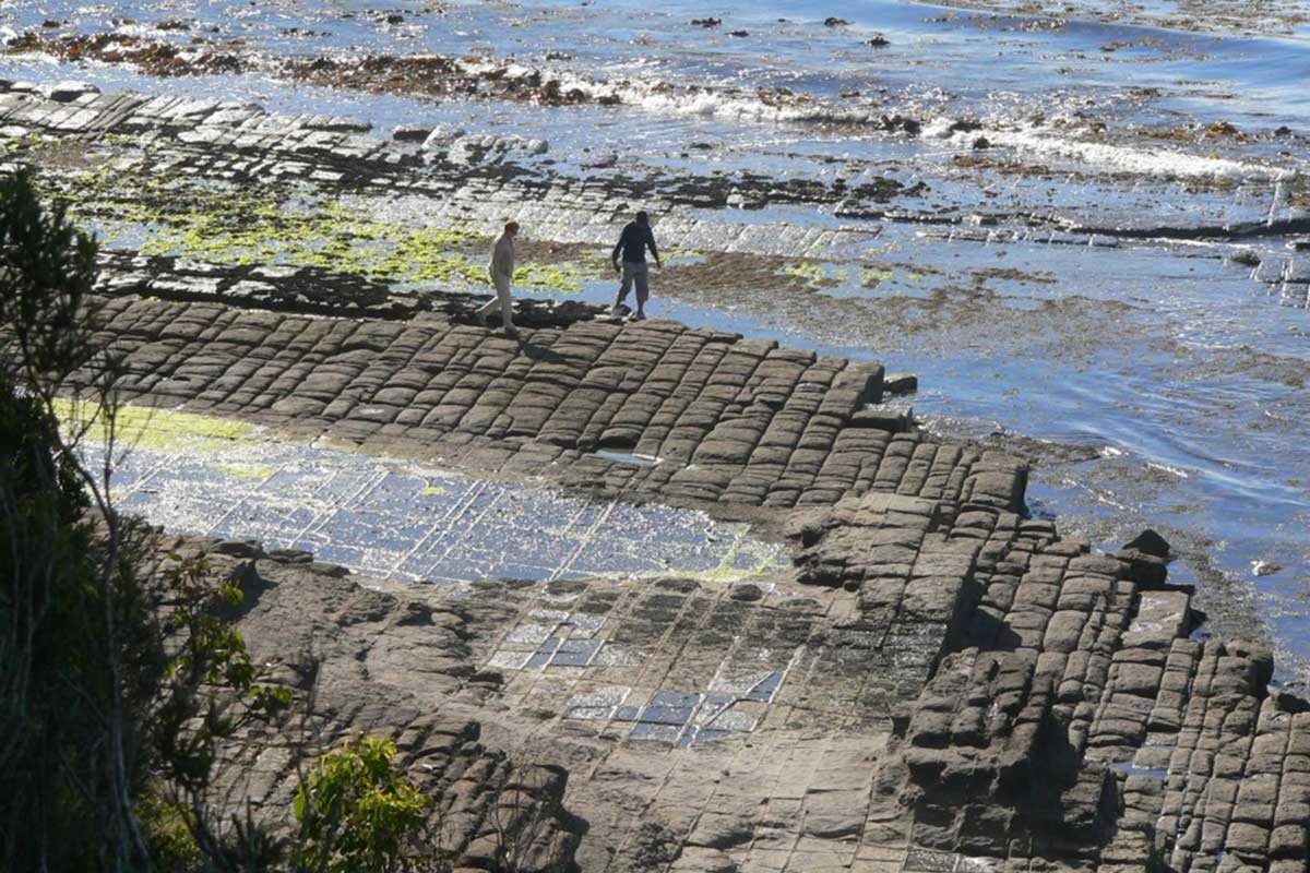
By far the most well known feature of Forestier Peninsula is the Tessellated Pavement, situated a short distance from Eaglehawk Neck on the shoreline below the Lufra Hotal. This unusual geological formation gives the rocks the effect of having been rather neatly tiled by a giant. The pavement appears tessellated (tiled) because the rocks forming it were fractured by earth movements. The fractures are in three sets. One set runs almost north, another east north east, and the third discontinuous set north north west. It is the last two sets that produce the tiled appearance. This tessellated pavement is one of the largest in the world.
More

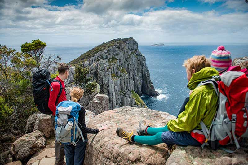
Tasmania's Three Capes Track is not about getting from point A to point B. It’s about the journey. Few places on Earth remain that feel so remote, so raw, so removed from the ordinary. On this trek it's just you, a pack, and 48 kilometres of cliff-hugging wildness of Tasman Peninsula. The next stop is Antarctica. You'll spend four days and three nights on a track so meticulously crafted you're free to enjoy your experience rather than watching every step.
More


Tap on image above again to hide this section.
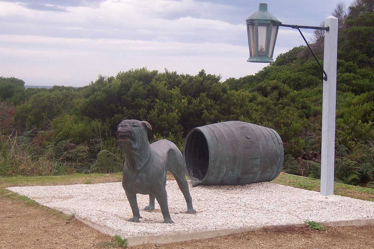
As its name suggests, Eaglehawk Neck is a narrow bar between Pirates Bay to the east and Norfolk Bay to the west. It is made of sand carried by currents and waves from the floors of Pirate's Bay to the east and Norfolk Bay to the west. This isthmus joins the Forestier Peninsula and Tasman Peninsula and the former Port Arthur Penal Settlement on which it stands in a narrow strip of land which is less than 100 metres wide.
More

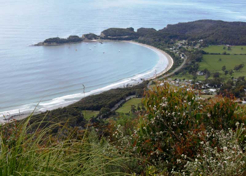
View from Pirates Bay Lookout
Pirates Bay is the large bay to the east of Eaglehawk Neck. The spectacular rocky coast around Pirates Bay features Australia's highest marine cliffs as well as caves, chasms, a blowhole and the famous tessellated pavement. Divers can explore the underwater rock formations and scattered shipwrecks. It is also the departure point for cruises down the east coast of the peninsula and Tasman Island. The cruises are very reasonably priced and off a close up view of this spectacular coastline, as well as seals and other marine life. Close by are the dramatic seascapes of Tasman National Park, including Fossil Bay lookout, Tasman Blowhole, Tasman Arch, The Devil's Kitchen, Patterson's Arch and Waterfall Bay.
More

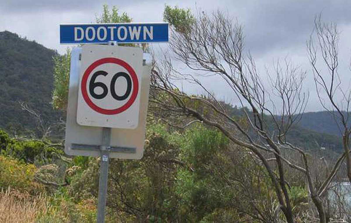
Just passed Eaglehawk Neck, on the way to Tasman's Arch, the Blowhole and the Devil's Kitchen is the holiday village of Doo Town. The town dates back to the 1930s when in 1935, Hobart architect Eric Round began a custom that continues today. Round placed the name plate "Doo I" on his weekend shack. A neighbour, Charles Gibson, responded with a plate reading "Doo Me" then Bill Eldrige with "Doo Us". Eric Round later renamed his shack Xanadoo.
More

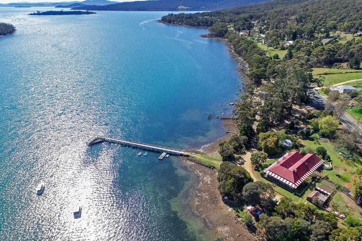
During the height of the Port Arthur penal settlement, Taranna was the terminus for a human railway which ran between the jetty at Little Norfolk Bay and the prison. This railway line was designed to carry passengers and supplies from the security of Norfolk Bay across the narrow isthmus to Port Arthur and Long Bay. The railway has the dubious distinction of being the first railway in Australia and probably the only one using human horsepower along its seven kilometre line.
More

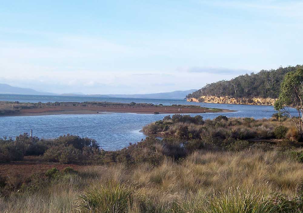
Norfolk Bay is a large inlet off Frederick Henry Bay to the west of Forestier Peninsula and north west of Tasman Peninsula. Most visitors to the Tasman Peninsula are familiar with the role played by Port Arthur as a penal outstation in Van Diemen's Land, but few are aware of the numerous other convict stations in the area, most of which were on the shores of Norfolk Bay. Convict-built out-stations still stand at Saltwater River, Koonya, Premaydena and Taranna. In years gone by the waters of this bay were infested with enormous sharks, which were regularly fed by the authorities, to prevent the possibility of convicts escaping by swimming from the peninsula to the mainland.
More

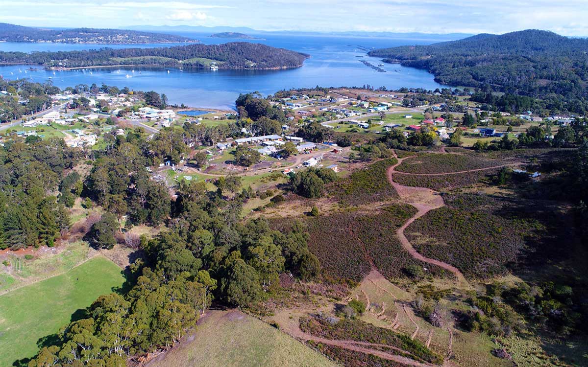
Nubeena is a small, sleepy and attractive holiday and fishing village, in spite of being the largest town on the Tasman Peninsula. Nubeena lies at the head of Wedge Bay on the western flank of what is virtually an island guarding the eastern entrance to Storm Bay. Further offshore is Wedge Island which is an important nesting habitat for the shearwater. ur. The town is halfway along the west coast of Tasman Peninsula, on Parsons Bay, which is a narrow continuation of Wedge Bay.
More

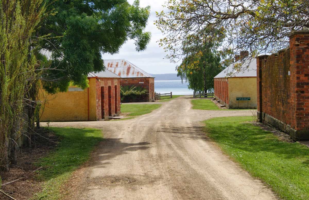
The village of Koonya is the site of a former convict outstation once known as Cascades on the shores of Norfolk Bay in Koonya on the Tasman Peninsula. It was established under its former name of "Cascades" in 1841 as one of outlying parts of the network of penal colony sites centred on Port Arthur. After the Port Arthur penal colony was closed, and Van Diemen's Land was renamed "Tasmania", a number of places in Tasmania were renamed; "Cascades" was renamed "Koonya".
More

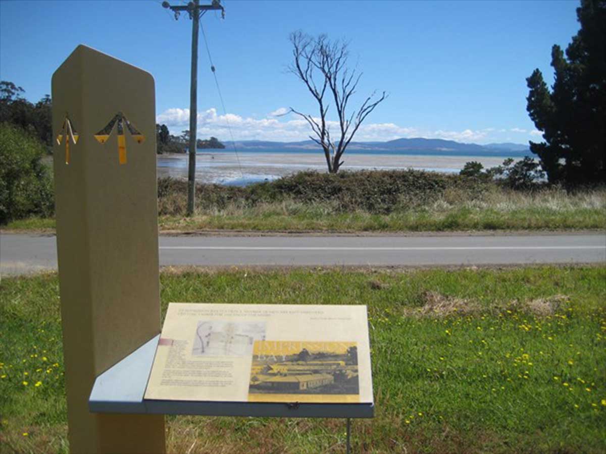
Premaydena is a small village idyllically situated on Impression Bay on the shores of Norfolk Bay. Dolphins and seals are seen from time in the mediteranean-clear and blue waters of the bay, and there are always plenty of penguins and seabirds. Premaydena is the site of the second largest colonial era convict settlement on the Tasman Peninsula after Port Arthur. There is a beautiful quiet sandy beach at Slopen Main nearby.
More

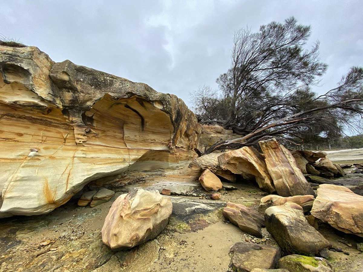
The Lime Bay Nature Reserve is seldom visited, but contains a surprisingly large network of trails linking together some beautiful beaches and lagoons with some great convict history thrown in. The reserve is a popular spot for camping, boating and walking. Facilities include toilets, picnic tables and fire places. It is advisable to bring your own water and firewood.
More


Tap on image above again to hide this section.

An extremely scenic part of Tasmania that is dominated by rolling pastures and heavily timbered hills and surrounded by dramatic coastline of sheer cliffs, towering rocky outcrops, sheltered bays and sea caves. Walking tracks and kayaks give access to the area's more isolated corners. And if that isn't enough to entice you to jump on a plane to Tassie and go see it for yourself, there's the added bonus of the peninsula being steeped in Australia's convict history; it contains some of the country's most important convict heritage sites, the jewel in the crown being the Port Athur settlement.
Port Arthur houses the remnants of one of the most isolated and infamous penal establishments in the world, which operated between 1830 and 1877. Known for its harsh conditions, dark history and stark beauty, in 1996 Port Arthur was the scene of the worst mass murder event in Australian history. A small town that is a mix of restored buildings and stabilised ruins, Port Arthur is one of Australia's most significant heritage areas. The open air museum is today Tasmania's top tourist attraction.
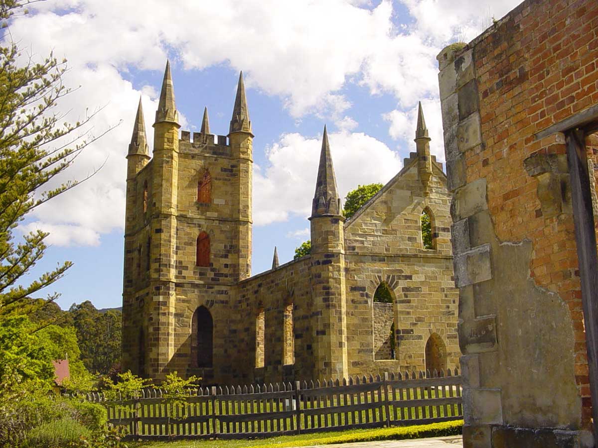
Port Arthur is not the only convict related relic on Tasman Peninsula. Convict-built outstations, from which convicts were hired out to local farmers, still stand at Koonya, Premaydena and Taranna. At Saltwater River is the remains of another large convict station and a coal mine, with numerous buildings an a few mine shafts still intact. Interpretive signage details the story of the site, which is about a 25 minute drive from Port Arthur.
Tasman National Park protects diverse forest and spectacular coastline from Cape Surville to Waterfall Bay and Fortescue Bay; and from Cape Hauy to Cape Pillar and Cape Raoul. The park incorporates several off-shore islands, including Fossil Island, Hippolyte Rocks and Tasman Island. It is an area of great beauty and natural diversity, including some of the most stunning coastal scenery anywhere in Australia. Not suprisingly, the park offers some of the best coastal walks in the country. Many interesting rock formations can be found along the coastline, while the southern end of the park has some of the highest and most spectacular sea cliffs in Australia. The park is also home to a wide range of land and marine animals, and several species of rare plant.


© Our Tasmania | Design and concept: Stephen Yarrow
Email Us | W3Layouts


