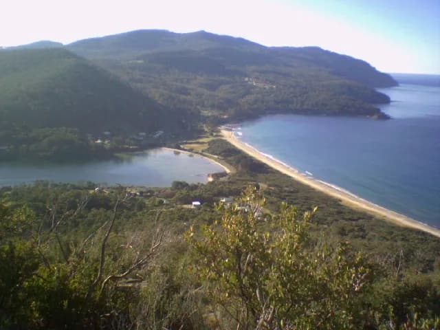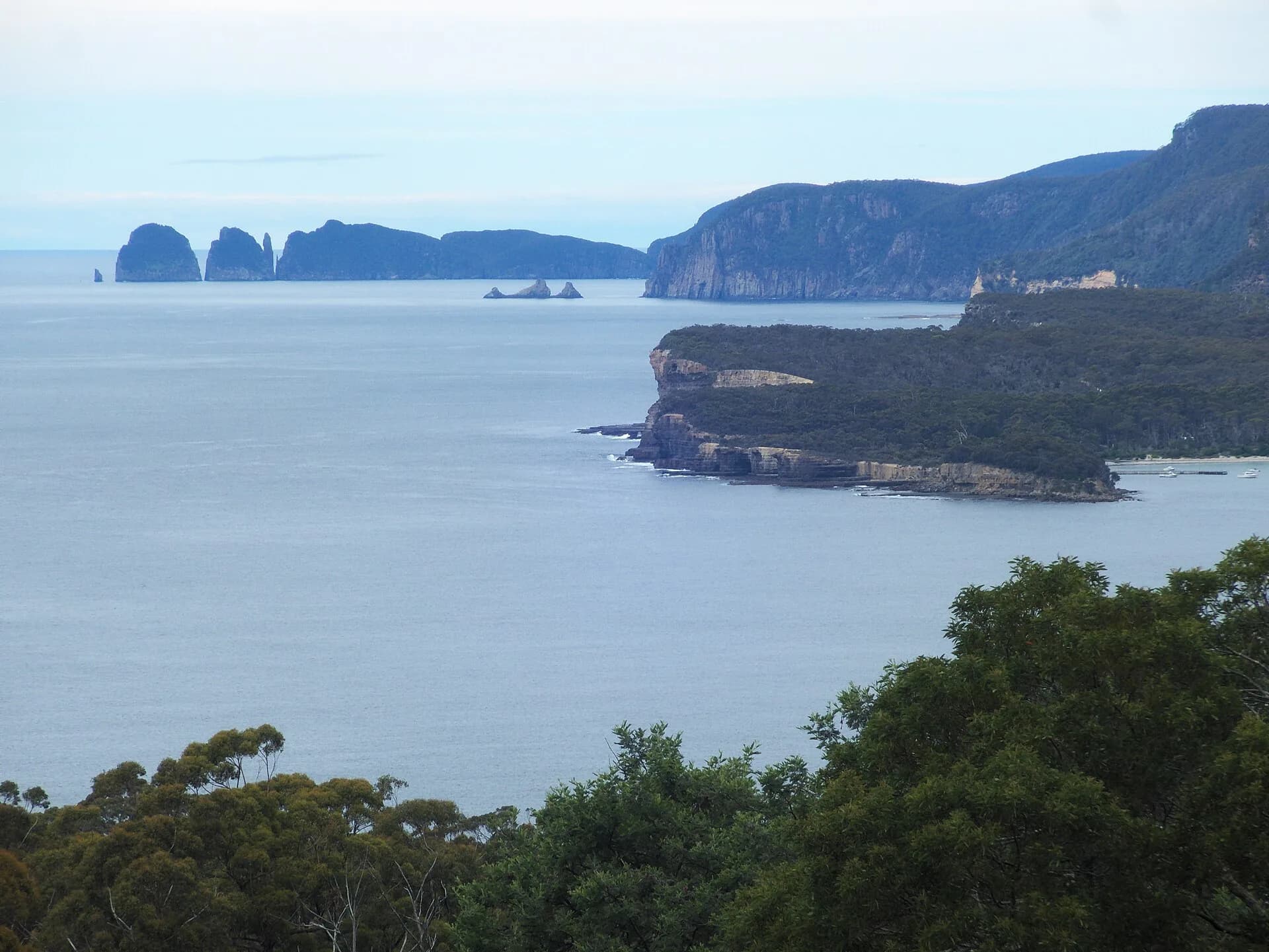

Pirates Bay Lookout sits above the descent to Eaglehawk Neck, with a broad view across the bay, the narrow neck and the high Tasman coast. It is most useful as an orientation stop before deciding which peninsula sites fit the day.
Stop only in the signed lookout area
Use the formal entrance and parking, slow well before turning and keep children away from road edges. Fog, rain and low cloud can remove the view even when conditions were clear at Sorell.
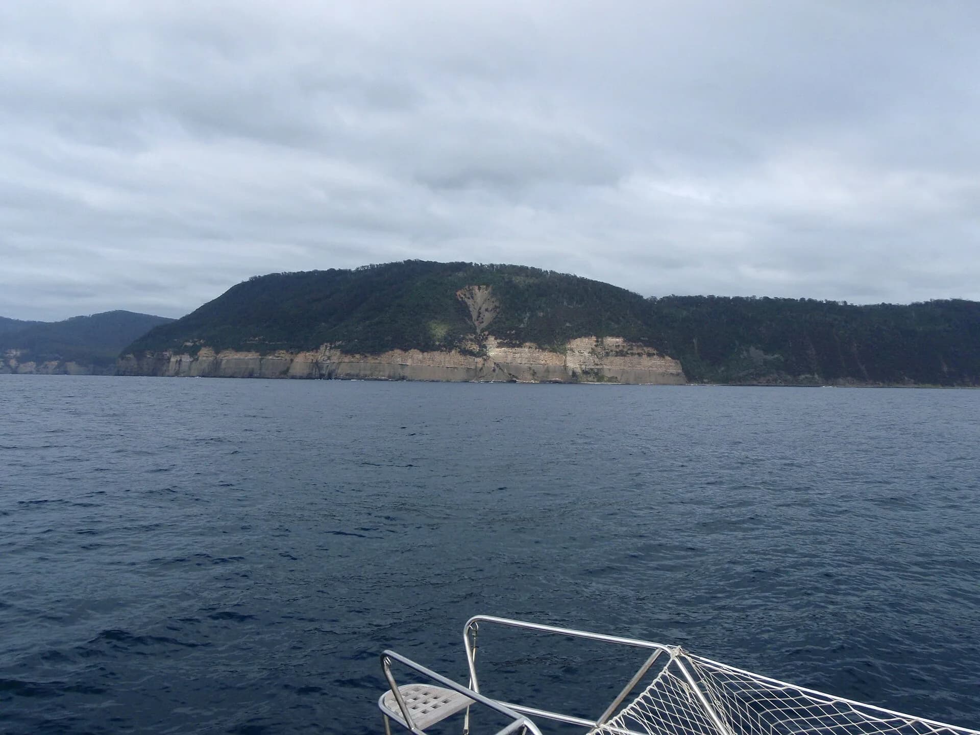

Stay behind barriers and do not climb vegetation or roadside slopes for a wider photograph. The lookout is exposed to wind and offers only a brief stop rather than a walking destination.
Plan the coast from here
Eaglehawk Neck lies below. The Tessellated Pavement, Blowhole, Tasmans Arch and Waterfall Bay are reached on separate local roads, some with unsealed sections and limited parking.
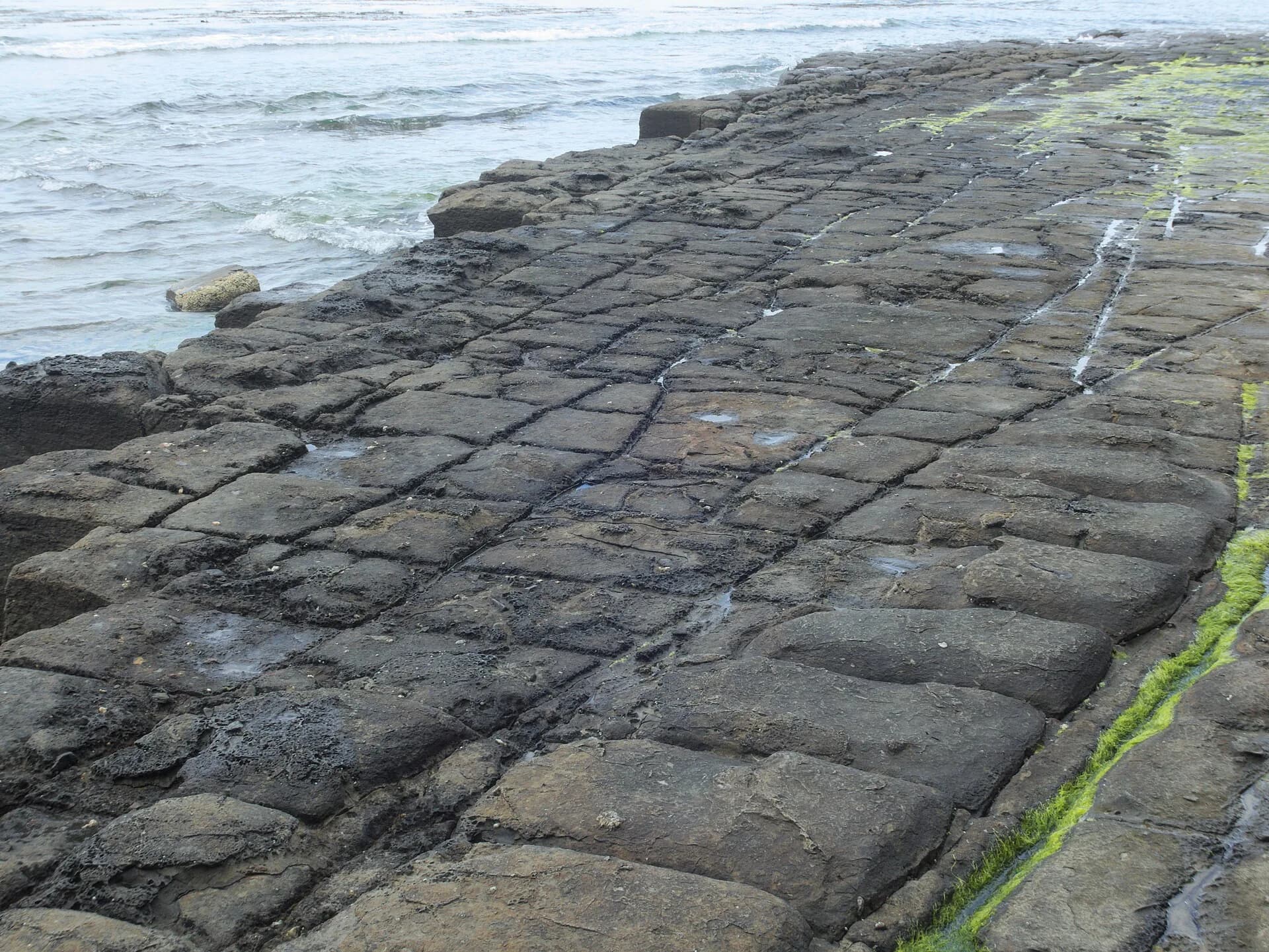

Parks works and storm damage can close individual sites. In September 2026, access changes remain around Tasmans Arch and Devils Kitchen works, so check the current alerts rather than assuming every stop is open.
Give the Tasman Peninsula enough time
The Tasman National Park guide separates short viewpoints from real walks. Port Arthur, Cape Hauy and Remarkable Cave cannot all be treated as quick extensions of a lookout stop.