

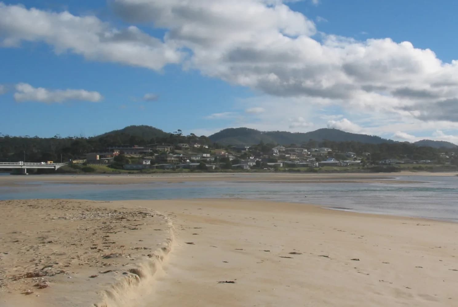
Scamander straddles the Scamander River where it reaches the east coast between St Marys and St Helens. The estuary, surf beach and bridge define a small town whose water conditions can change quickly.
River and ocean meet here
Sand movement alters the river mouth and shoals. Break O’Day Council identifies it as a popular swimming, kayaking and fishing area, but a calm-looking channel can still carry current or change after rain and swell.

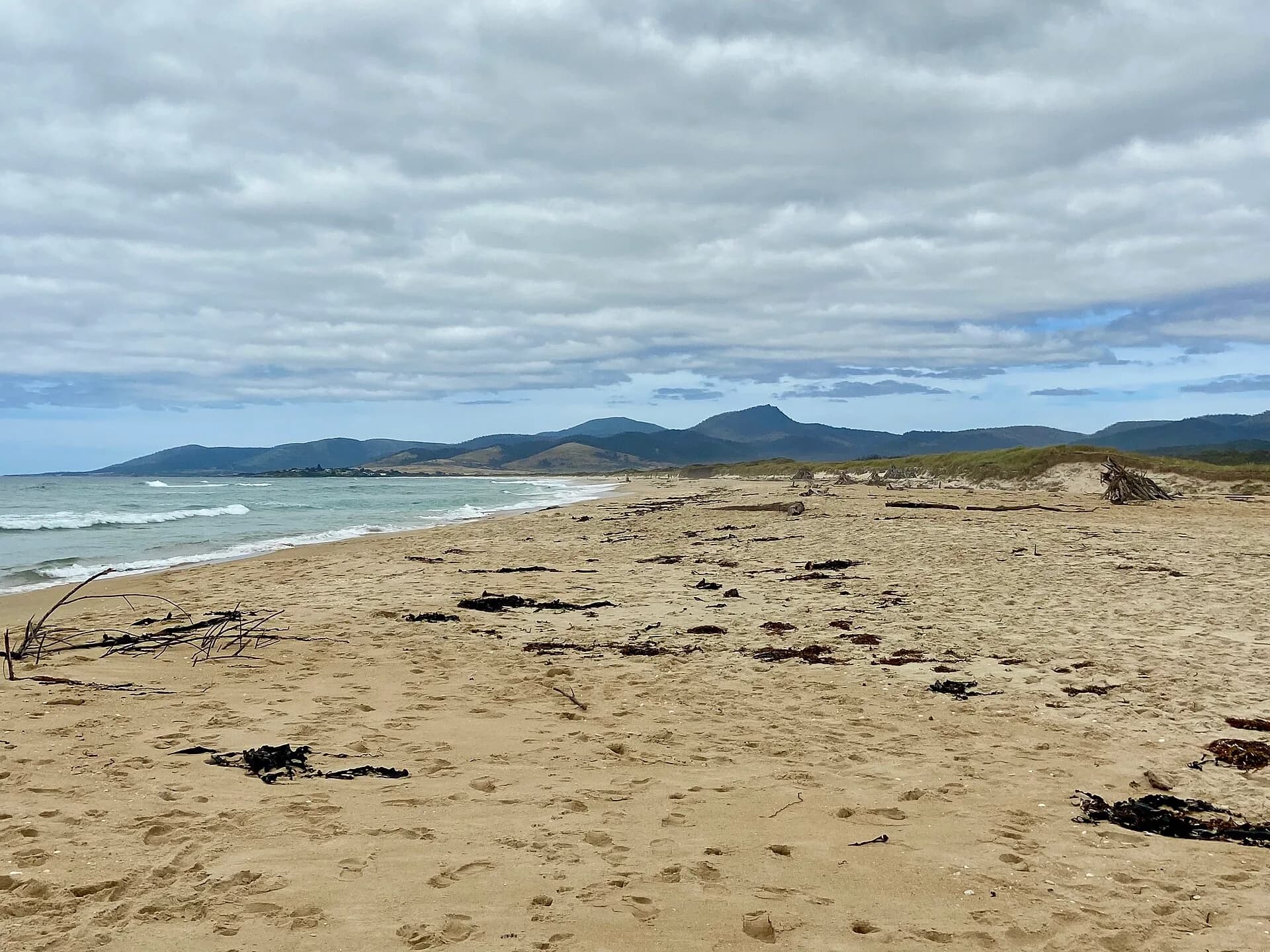
Treat the surf beach separately
The open coast can have strong waves and rips. Check Beachsafe, swim between flags where patrols operate and supervise children at both ocean and estuary edges.

Check water and flood information
Council monitors several recreational waters in summer and publishes results. Flood and erosion planning also recognises long-term risk around the river mouth. Avoid low crossings, dunes and closed tracks during severe weather.

St Helens provides larger services to the north, while St Marys connects the coast with the Fingal Valley.