

Regional Drives
Bass Highway:
Launceston to Marrawah
Bass Highway connects the major cities and towns of Tasmania's North West - beginning at Launceston, and following the coast through Devonport and Burnie, all the way to Marrawah on the west coast. Along the way, there are dozens of roads leading off the highway that will take you to pretty coastal villages on one side and the region's beautiful hinterland on the other.
Full Itinerary
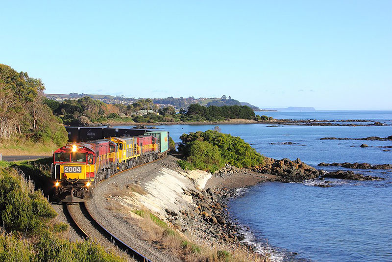
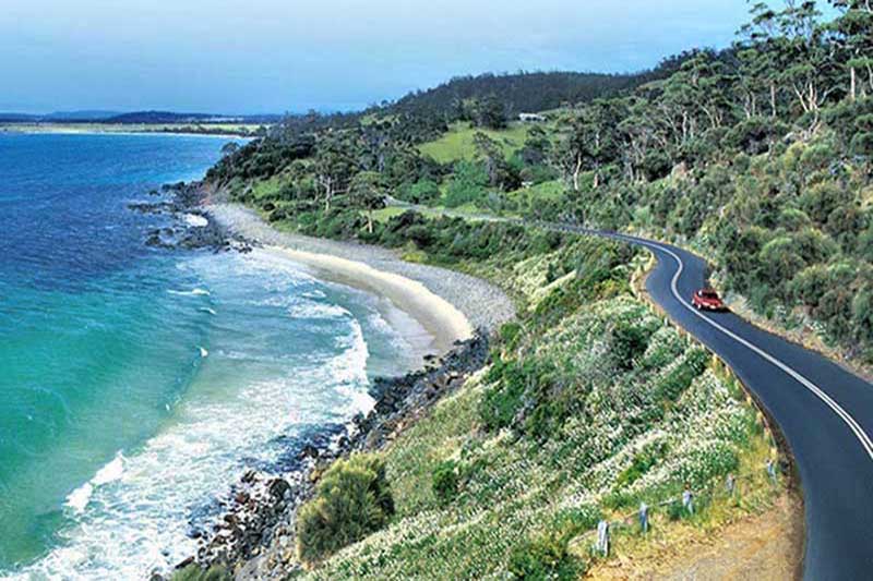
Old Bass Highway:
Ulverstone to Burnie
If you are travelling between Devonport and Burnie, it is worth taking the old Bass Highway which hugs the coast if you have the time and want to enjoy some very pretty coastal scenery. The road winds its way around the bays and headlands, so it is by no means a fast route, but the scenery and a chance to pass a train on a line that follows the road and the coast makes it worthwhile.
Full Itinerary

Old Surrey Road:
Burnie to Surrey Hills
Take a drive from Burnie along one of North West Tasmania's most historic roads, pioneered by the region's premier explorer, Henry Hellyer. In 1827, work commenced on the construction of a road from the little settlement of Burnie to Surrey Hills, an inland area selected as a suitable place for the Company’s sheep to graze. The road work employed five men, constructing a muddy track through the dense coastal rain forests. This route generally follows what is now Marine Terrace to the Emu River, then up from the coastal plain via Old Surrey Road, through Romaine, Ridgely, Highclere and on to Hampshire, a distance of around 30 km.
Full Itinerary
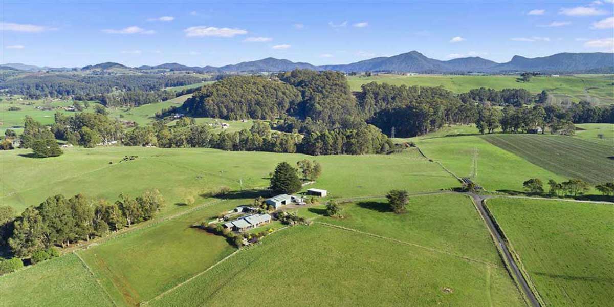
Preolenna Valley:
Burnie to Preolenna
There are hundreds of names on a map of Tasmania, which to many Tasmanians are just that – a name on a map. Preolenna is such a place. I must admit that when a friend suggested it as a place to visit, I not only had to look on a map to find out where it was, I also had difficulty finding information about it. o my surprise I found that it was only 44 km west of Burnie, so we packed the car and headed for Flowerdale and the turn-off to Preolenna on Bass Highway.
Full Itinerary
Castra Road:
Ulverstone to Nietta
Castra Road (State Route B15) starts at Ulverstone and winds its way south through picturesque hills and farmland on its way to Nietta, a tiny village located about 44 kilometres south-west of the town of Devonport. Nietta is literally the end of the road. If approached from Devonport via Forth, Castra Road is joined at the village of Sprent. On the way you'll pass some of the prettiest dairy farming country you are ever likely to see.
Full Itinerary
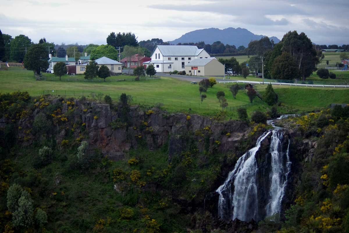
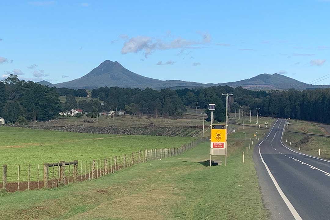
Waratah and Hellyer Gorge:
Burnie to Waratah
The town of Waratah was constructed to support a tin mine at Mount Bischoff, one of the most profitable mines in the history of Tasmania. The town is built at the top of a waterfall, its water was diverted from the stream to provide water for mine sluicing and processing. Not far from the town is Mount Bischoff and its iconic tin mine. The return journey is via the Murchison Highway, incorporating a stopover at Hellyer Gorge and a short walk in the Tarkine rainforest.
Full Itinerary
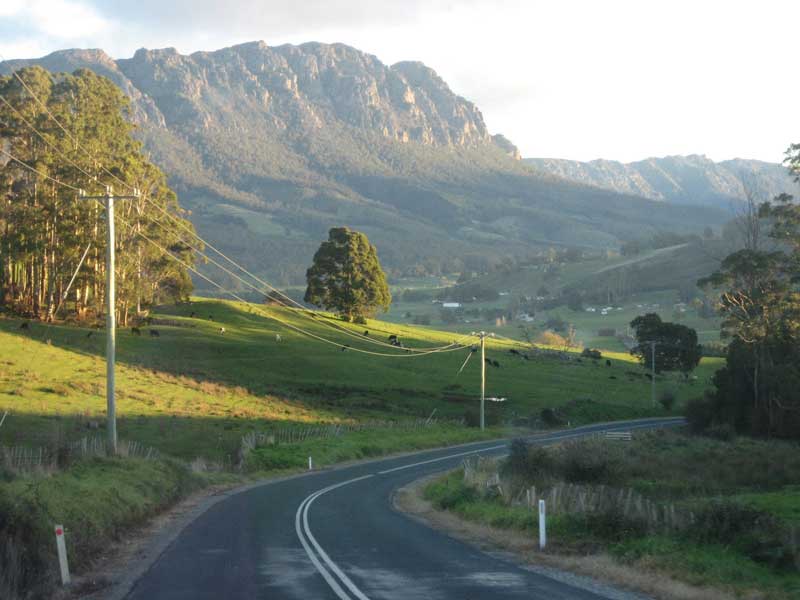
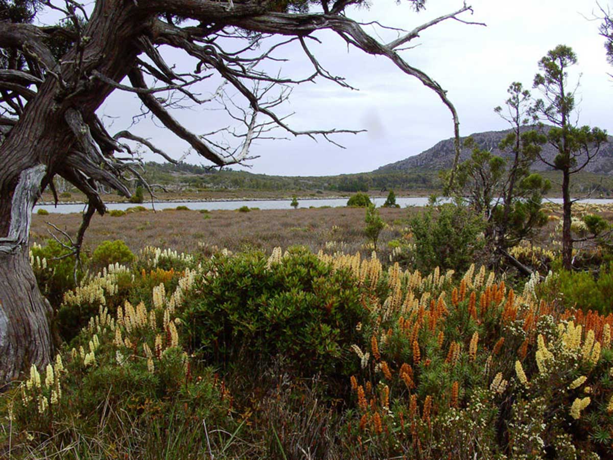
Great Western Tiers:
Deloraine to Wilmot
The Great Western Tiers are the northern face of the Tasmanian Central Plateau, which rises up to 1420m above sea level and is dominated by Cradle Mountain. In the foothills of the Great Western Tiers can be found a wide range of attractions both man made and natural which can be explored on this drive. It is also an alternative route to reach Cradle Mountain from Launceston. Allow a full day for the drive; add additional time if you are contemplating taking any of the bushwalks in the area or spending Full Itinerary time than a quick visit.
Full Itinerary
Meander Valley Highway:
Deloraine to Launceston
There are essentially two ways to travel by road between Devonport and Launcestion; there's Bass Highway, which takes around an hour and bypasses just about every town on the way; and then there's the Meander Valley Highway, which follows Bass Highway closely, but takes in just about every town, village and settlement between Deloraine and Launceston. It will take a lot longer, and how much longer depends on how captivating you find the picturesque Georgian villages you pass through.
Full Itinerary
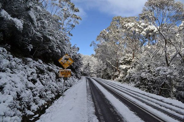
Highland Lakes Road:
Deloraine to Bothwell
Highland Lakes Road gets nowhere near the same amount of useage as Tasmania's other North to South main roads, so chances are you won't see much other traffic. This makes it easy to stop and taking in the scenery - and there is plenty to stop and take in - without having to worry about that driver who is hard on your tail and wants to go faster than you do. It's a sealed road all the way, but be aware that snow is common in winter. Highland Lakes Road begins in the north near Deloraine and finishes in the south at Bothwell. From there, it is an easy drive through the Derwent Valley to Hobart.
Full Itinerary

Sprent Regional Drive:
Forth to Sprent
As you enter Forth from Turners Beach, there is a road off to the right signposted to Kindred, a little village about seven kilometres away. Take this road and you'll find yourself on a delightful drive through lush farmlands and rolling hills. Before too long you will arrive at Kindred which, like many regional villages, could best be described as a string of farms scattered on either side of a few buildings that form the nucleus of the community.
Full Itinerary
Cradle Mountain Drive:
Latrobe to Forth via Wilmot
Australia's most recognisable mountain, Cradle Mountain forms the northern end of the wild Cradle Mtn. - Lake St Clair National Park, itself a part of the Tasmanian Wilderness World Heritage Area. The familiar jagged contours of Cradle Mountain epitomise the feel of a wild landscape, while abundant wildlife, icy streams, alpine heathlands, colourful deciduous beech and ancient pines reflected in still glacial lakes entice many visitors to stay and explore. There are a number of ways to get there; this drive, is one of the most minteresting.
Full Itinerary

The Tarkine Region Drives:
Marrawah to Trowutta
The Tarkine is richly woven in human history and natural beauty. The best way to explore the richness of the Tarkine is by taking a journey of discovery on the north-west section of the Tarkine Drive and South Arthur Drive. This drive allows easy access to the northern fringe of the Tarkine covering the State’s north-west corner, travelling through the splendour of tall trees and graceful rivers in silent rainforests. Picnic facilities and forest walks are provided at both the Julius and Milkshake Forest Reserves, while other places include the Sumac Lookout and the picturesque walk through Lake Chisholm Forest Reserve to a beautiful sinkhole lake. This well-signed drive offers a variety of opportunities from river fishing, canoeing, and camping to walking and barbeques.
Full Itinerary

