
See and Do

97 km from Burnie (1 hr 6 mins drive)
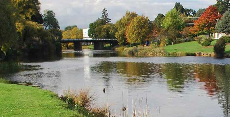
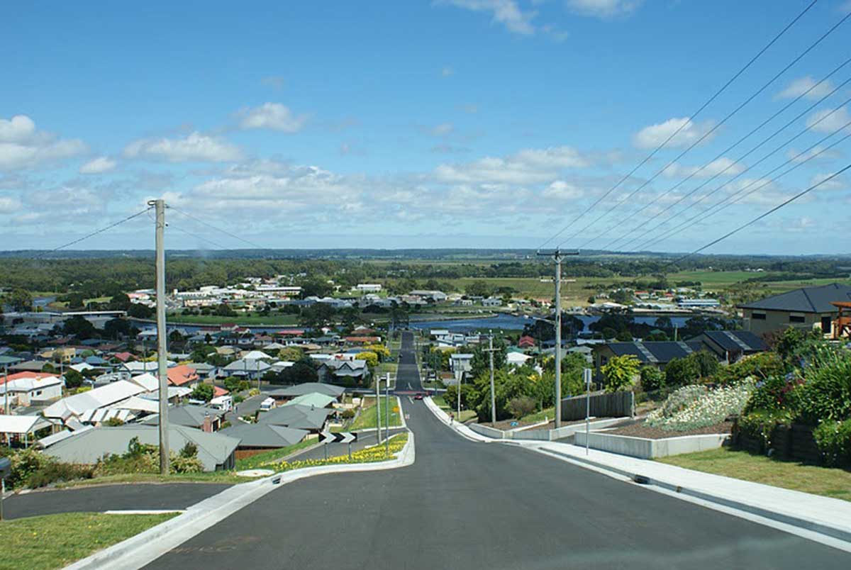
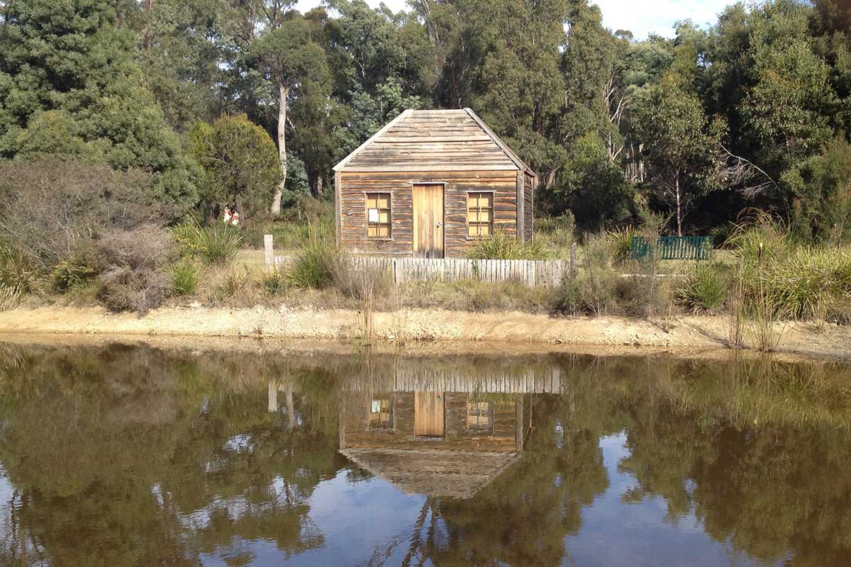
Situated 53 km south east of Devonport and 51 km west of Launceston on Bass Highway, Deloraine is a delightful village in the valley of the Meander River. The park by the Meader River is a beautiful spot for a picnic lunch. Deloraine is a major centre for arts and crafts in Northern Tasmania. Wander around and you'll come across many galleries, craft shops and antique stores displaying mainly the works by local artists. Among our favourites are Willis and Friends, Art as Mania, Bush Rabbit and The Alpaca Shoppe.
More
96 km from Burnie (1 hr 17 mins drive)
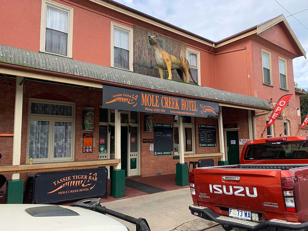
Mole Creek is a pretty town surrounded by some of Tasmania's most beautiful wilderness and is the perfect base for exploring nearby national parks, with some amazing limestone caves that must be seen to be believed. Scenic Westmorland Falls, Alum Cliffs Gorge lookout, and a little further afield, Liffey Falls, all are part of the Tasmanian Wilderness World Heritage Area. You can see Tasmanian Devils and Wombats at close range at Trowunna Wildlife Park.
More
Region: North West Hinterland
1 hr 45 mins drive from Burnie
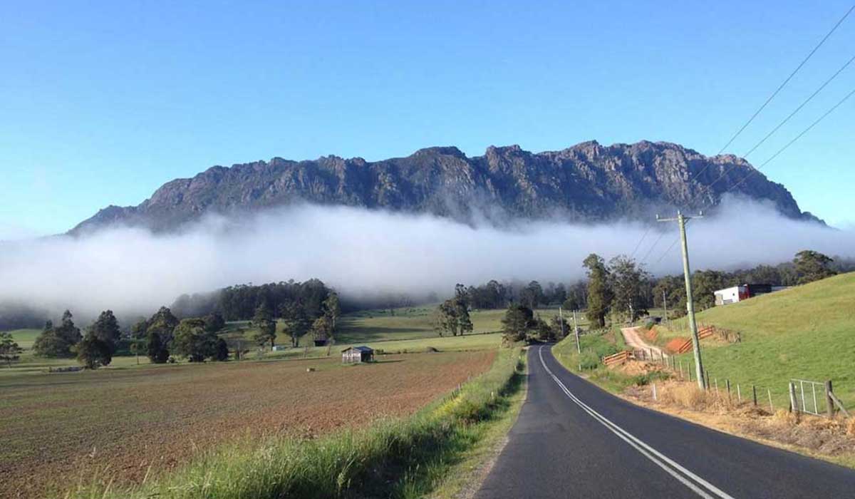
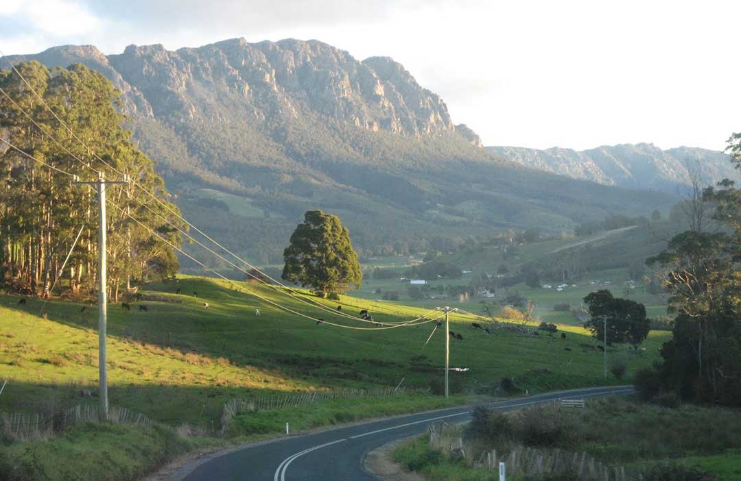
The Great Western Tiers are a collection of World Heritage listed mountain bluffs that form the northern edge of the Central Highlands plateau in Tasmania. Here you will find waterfalls, canyons and spectacular mountain vistas.
More
86 km from Burnie (1 hr 12 mins. drive)
Mount Roland stands at 1234 meters above sea level on the northern edge of the Great Western Tiers region of Tasmania. It provides an imposing backdrop to the Kentish Municipality and for the town of Sheffield. Like many of Tasmania's mountains, at first sight it would appear to be a difficult climb, however a number of well marked bushwalks provide a day's exercise. There are walking tracks from Claude Road and Gowrie Park to the summit.
More

Cradle Mtn - Lake St Clair National Park
101 km from Burnie (1 hr 30 mins. drive)
Australia's most recognisable mountain, Cradle Mountain forms the northern end of the wild Cradle Mtn - Lake St Clair National Park, itself a part of the Tasmanian Wilderness World Heritage Area. The familiar jagged contours of Cradle Mountain epitomise the feel of a wild landscape, while abundant wildlife, icy streams, alpine heathlands, colourful deciduous beech and ancient pines reflected in still glacial lakes entice many visitors to stay and explore.
More
87 km from Burnie (1 hr 7 mins drive)
In contrast to Stanley, its sleepy neighbour, Smithton is a busy little place, being the regional centre of one of Tasmania's most productive fishing, beef, dairying and potato growing areas. It is home to timber mills, the state's largest dairy produce factory, Duck River oysters. The Apex Lookout (Massey Street) on Tier Hill, behind the town, gives a full panorama of the Duck River estuary and offshore islands.
More
Region: North West Coast
1 hr 25 mins drive from Burnie
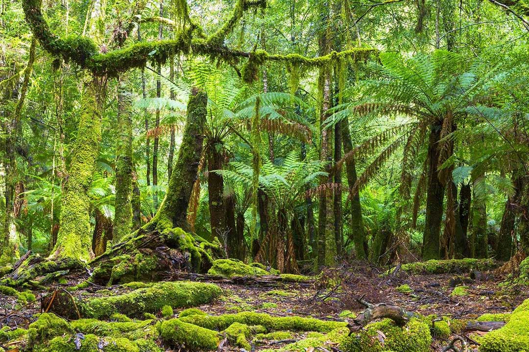
The Tarkine region of North West Tasmania is a very special part of the state, as it contains extensive high-quality wilderness as well as extensive, largely undisturbed tracts of cool temperate rainforest which are extremely rare. It also represents Australia's largest remaining single tract of temperate rainforest. What makes it extra-special is that it can be easily accessed with just a 2 wheel drive vehicle.
More
133 km from Burnie (1 hr 43 mins drive)
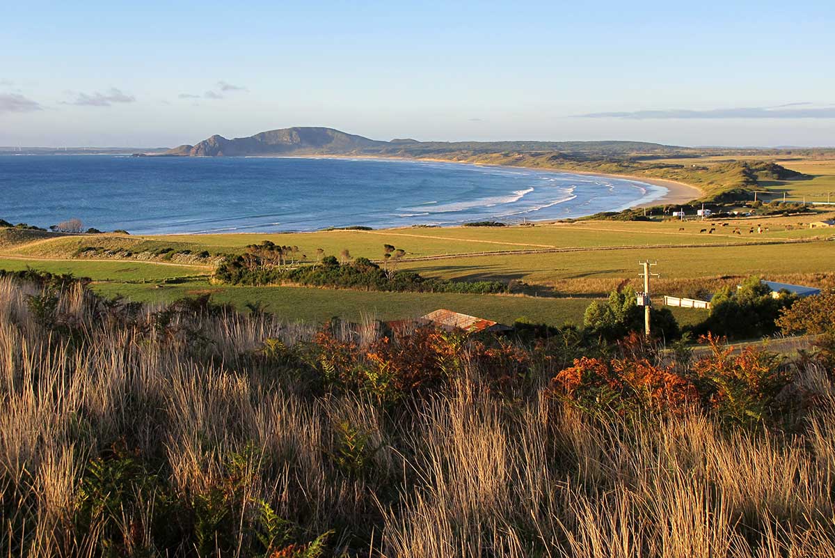
Tasmania's westernmost community and the furthest settlement from Hobart, Marrawah is the most popular surfing spot in Tasmania's north. The small town services the surrounding rich dairy farming area. Beyond the town the farmlands undulate down to the sea at Green Point and West Point where the cold and inhospitable waters of the Southern Ocean crash against the lonely coastline.
More
146 km from Burnie (1 hr 53 mins drive)
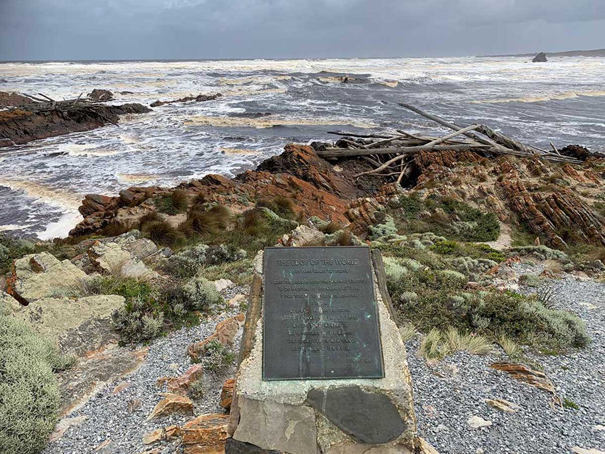
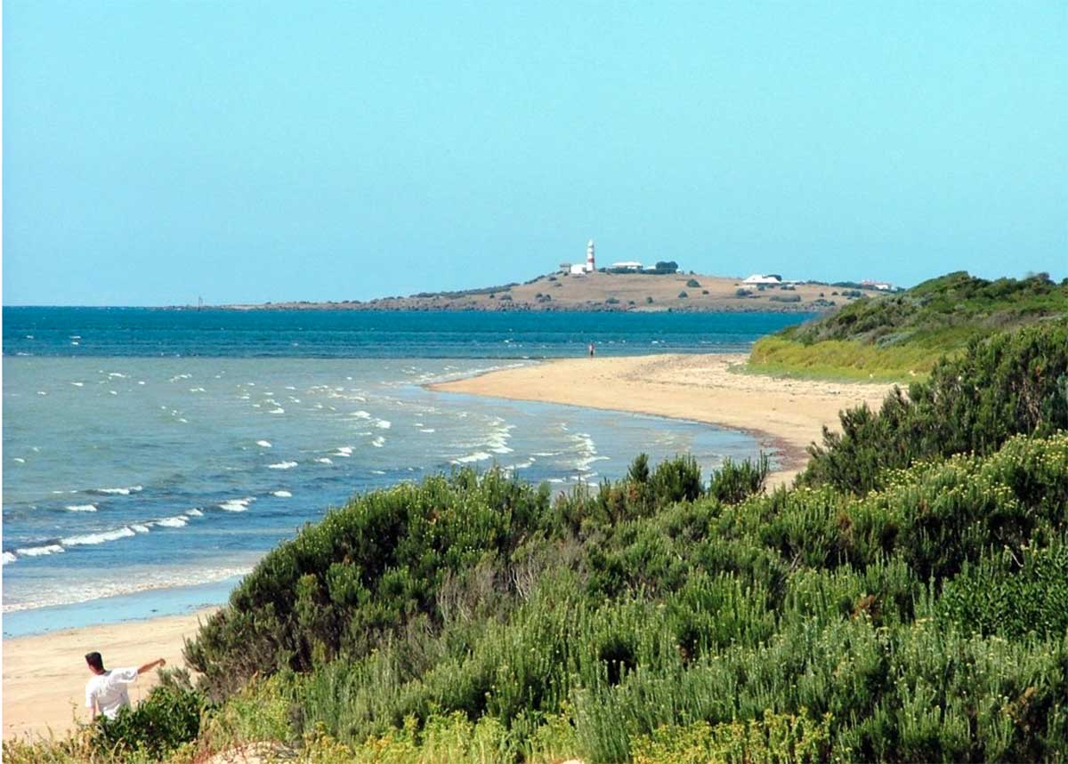
Situated at the mouth of the Arthur River, the tiny settlement of Arthur River is an ideal base for walking (both in the bush and along the coastline), horse riding, fishing, off-road driving, cruising the river and picnics in this remote, beautiful area. Tasmania’s wild western river, the Arthur, brews a tempest in the Southern Ocean as they meet. Gardiner Point (photo) has been dubbed The Edge of The World as the sea here stretches uninterrupted all the way to Argentina, 15,000 km away.
More

89.5 km from Burnie (1hr 15 mins. drive)
Unusual falls where 152 steep steps descend to the bottom of the cubic-basalt formed falls. These falls are very picturesque, particularly during the winter months. The track to the accessible viewing platform is beyond the falls. Location: 10kms east of the Stanley turn off, head south to the Dip River Forest reserve.
More
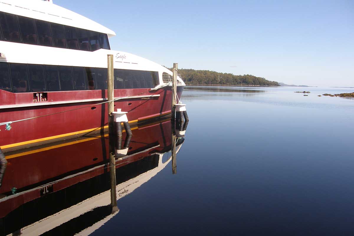
Commencing 1 hour 45 mins drive from Burnie (Marrawah), Tasmania's West Coast region is made up of serene natural harbours, rugged coast, densely forested mountain ranges, fast flowing rivers, steep gorges, rainforest wilderness and ghost towns. The region has some of the most pristine and beautiful wilderness in the world, encapsulated in the World Heritage listed Franklin-Gordon Wild Rivers National Park. Bushwalkers are rewarded by spectacular nature sights. Even the less energetic can enjoy the untouched rainforests while cruising the Gordon and Pieman Rivers.
More
96 km from Burnie (1 hr 12 mins drive via the Ridgley and Murchison Highways
An his
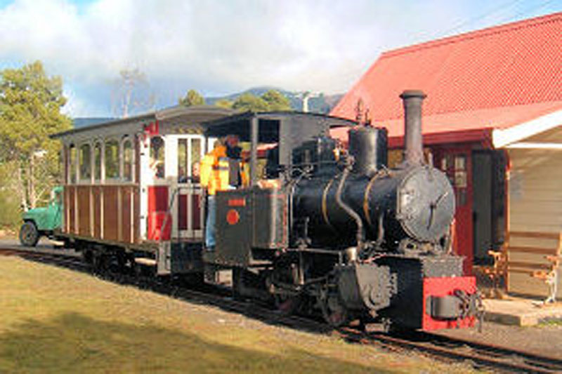
Drive along the A10 from Burnie into the mountainous temperate rain forests of Tasmania's West Coast, and the first mining town you'll come to is Tullah, on the shores of Lake Rosebery. Tullah in fact began life as Mount Farrell, a mining settlement. It is now mainly a fishing community at the edge of Lake Rosebery.
More
![]()
112 km from Burnie (1 hr 25 mins drive). 55.9 km east of Port Sorell via Frankford Road and West Tamar Highway
An historic goldmining town on the West Tamar Highway, Beaconsfield services the many small communities located on the western side of the Tamar Valley. The Beaconsfield Mine and Heritage Centre is the main attraction in the town and should not be missed. Twice the size it was a decade ago, the remnants of the original Tasmania Gold Mine that was the original Grubb Shaft Museum still stand, but have been extensively added to with an impressive state-of-the-art wing.
More
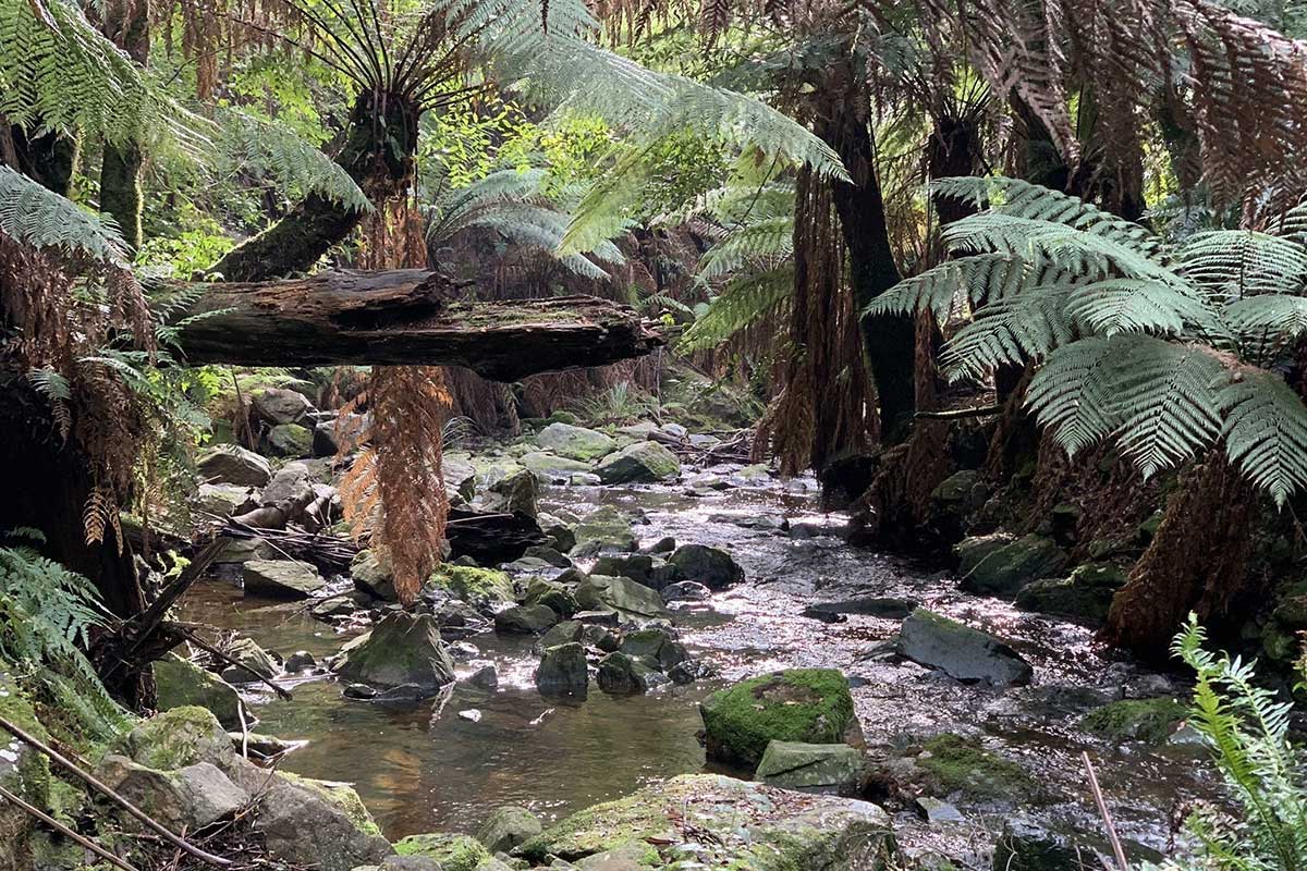
Holwell Gorge reserve (8 km south-east of Beaconsfield via Kellys Lookout Road) is centred around a narrow gorge and fern glade in the Dazzler Range. It features many beautiful tall trees, ferns and a 45-minute scenic walking track past three waterfalls. The walk to the first falls is relatively easy - in fact it's a leisurely 15 minute stroll to the Holwell Gorge Falls.
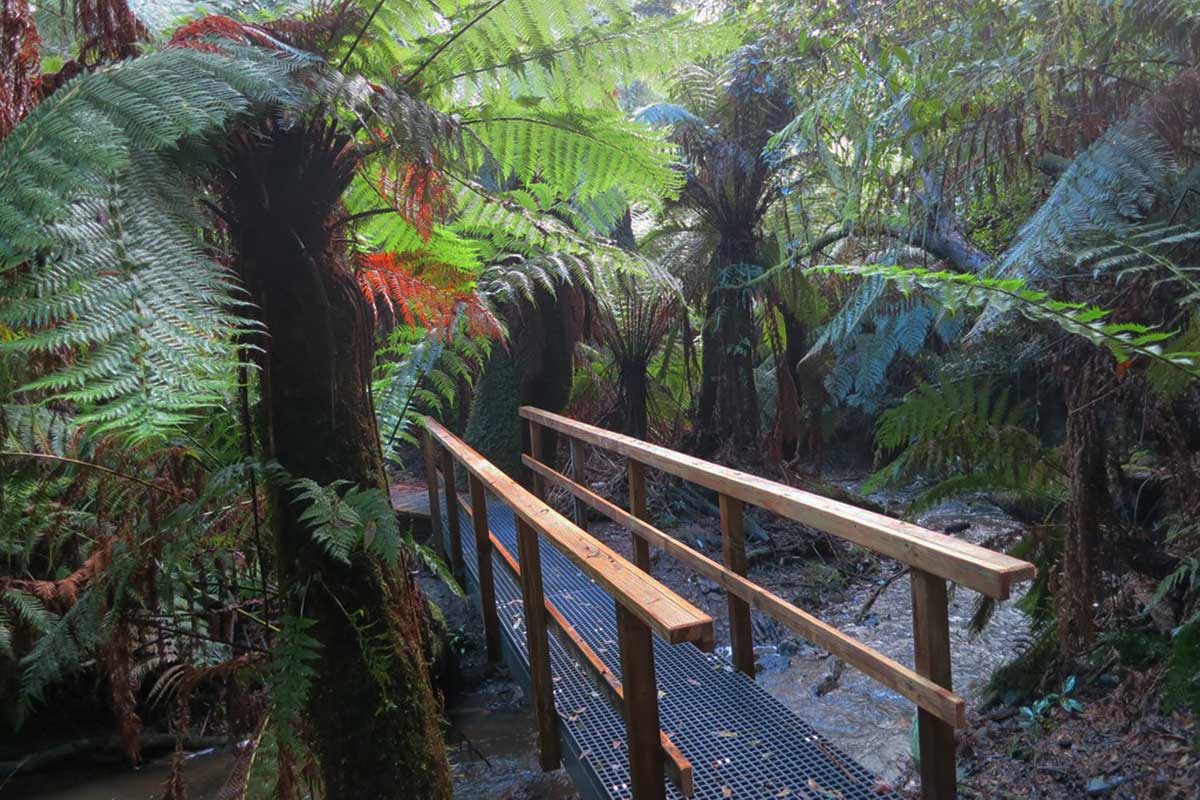
Notley Fern Gorge (11 km south-west of Beaconsfield) is a forest dominated by large, old eucalypts over a understorey of rainforest. Towards the creek, there are a variety of fern species growing in abundance. The gorge is a 3/4 hour walk from the carpark along a well constructed path following a creek, with a 1.5 km return walking track through the forest. Look out for Brady's tree, a giant hollowed-out tree that bush-ranger Matthew Brady and his band of followers sheltered in during the 1820s. Brady’s Tree is only five minutes’ walk from the car park.
The Fern Gorge trail is ideal for for beginners, it's easy to walk, not too long, with lots of interesting fungi to photograph. There are plenty of fallen logs, fairy-tale moss-covered trees and plenty of ferns, not to mention white gums and blackwoods overhead. The Gorge has a picnic area is at the car park along with clean rest rooms. Unfortunatlry, no dogs are allowed so as to not disturb the abundant wildlife.
York Town (7.8 km north of Beaconsfield) is the site of the first attempt to establish a British presence in northern Tasmania. For a brief period between 1804 and 1808 Col. William Paterson and his party of settlers, soldiers and convicts created a small, bustling village and established farms and a government garden at York Town. They faced many difficulties stock losses, poor soil, food shortages and episodes of robbery, bushranging and piracy. Only two years after its settlement, it was clear that relocation would be necessary, and by 1811 York Town was virtually deserted. Today, a walking trail and interpretive signs tell the story of York Town, though little of the settlement remains above ground. There was forty acres of settlement at this historical site and almost the whole entire town remains buried underground, however, occasionally remnants make their way to the surface to remind us of a past that has been forgotten.
Greens Beach (18.4 km north of Beaconsfield) is located on Badger Head on the eastern side of the mouth of the Tamar estuary opposite the Low Head lighthouse. The often deserted, long Badger Beach at this small holiday and retirement village is ideal for a stroll. Bass Strait forms the northern boundary. The West Tamar Highway runs north-west through the locality, terminating in the Greens Beach township.
More
116 km from Burnie (1 hr 30 mins drive). 59.6 km east of Port Sorell via Frankford Road and West Tamar Highway
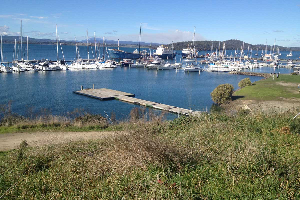
6 km south of Beaconsfield, Beauty Point is a small fishing town, sited where West Arm meets the Tamar Estuary. The town is the home of Seahorse World, a working seahorse farm and educational centre that is open to the public, and Platypus House, a unique attraction being the only venue in Tasmania where visitors can watch Tasmanian Platypuses and Echidnas in daylight conditions in an indoor setting.
More
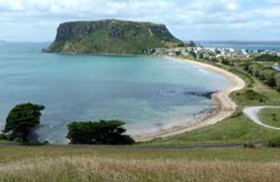
The North West coast extends from Burnie all the way west to Cape Grim, Tasmania's rugged north-west corner. Along the way are the beachside towns and villages of Wynyard, Boat Harbour Beach, Stanley and Smithton, as well as the rugged volcanic headlands od The Nut (Circular Head), Rocky Cape and Table Cape.
Full Itinerary

The first European settlement of Tasmania's Central Coast commenced in the 1840s, the rich basalt soil proved ideal for cropping, and today agriculture is the principal contributor to the area’s economy. Motorists travelling along the north-west of Tasmania are well served by the National Highway. Central Coast, however, is fortunate to have retained a small section of ‘old highway’. This scenic coastal detour hugs the headlands and sandy shores from Ulverstone through to Howth and is well worth the extra time taken to travel this scenic route.
Full Itinerary

Boasting rolling farmland, the hinterland of Tasmania's central coast is home to some of the region's finest agriculture and local produce, its narrow roads making their way through lush farmlands on their way to the alpine terrain of Cradle Mountain. The area is world-renowned for its bush-walking, mountain ranges and canyons, and laid-back small towns set againt mountainous backdrops.
Full Itinerary

The area is dominated by the Tarkine, a wilderness area containing a wildly diverse landscape, a world of natural treasures including Australia's largest patch of temperate rainforest, mountain ranges, wild river and cave systems and buttongrass moorlands. Waterways can be explored by canoe, kayak and riverboat cruises through forests of blackwood, myrtle and celery top pine all the way to the sea.
Full Itinerary

Set against the backdrop of the Great Western Tiers, the Mradner Valley is located at the western end of the Central Coasy Hinterland, located midway between Launceston and Devonport. Dotted among the farms of the area are numerous small towns, each with their own individual character and colonial-era charm. Deloraine, on the banks of the Meander River, has become a centre for artists and craftspeople, drawn by the lifestyle and inspired by the stunning scenery.
Full Itinerary

2 to 3 hours drive from Devonport and Burnie, Tasmania's West Coast region is made up of serene natural harbours, rugged coast, densely forested mountain ranges, fast flowing rivers, steep gorges, rainforest wilderness and ghost towns. The region has some of the most pristine and beautiful wilderness in the world, encapsulated in the World Heritage listed Franklin-Gordon Wild Rivers National Park. Bushwalkers are rewarded by spectacular nature sights. Even the less energetic can enjoy the untouched rainforests while cruising the Gordon and Pieman Rivers.
Full Itinerary

